171 E End Rd Goodlettsville, TN 37072
Estimated Value: $396,242
3
Beds
1
Bath
2,015
Sq Ft
$197/Sq Ft
Est. Value
About This Home
This home is located at 171 E End Rd, Goodlettsville, TN 37072 and is currently estimated at $396,242, approximately $196 per square foot. 171 E End Rd is a home located in Davidson County with nearby schools including Goodlettsville Elementary School, Goodlettsville Middle School, and Hunters Lane Comprehensive High School.
Ownership History
Date
Name
Owned For
Owner Type
Purchase Details
Closed on
Oct 9, 2009
Sold by
Thomas Nellie and Forsythe Nellie
Bought by
Forsythe William
Current Estimated Value
Home Financials for this Owner
Home Financials are based on the most recent Mortgage that was taken out on this home.
Original Mortgage
$127,645
Outstanding Balance
$83,222
Interest Rate
5.05%
Mortgage Type
FHA
Estimated Equity
$313,020
Purchase Details
Closed on
Mar 16, 1994
Sold by
Forsythe Nellie
Bought by
Busby Michael R
Create a Home Valuation Report for This Property
The Home Valuation Report is an in-depth analysis detailing your home's value as well as a comparison with similar homes in the area
Home Values in the Area
Average Home Value in this Area
Purchase History
| Date | Buyer | Sale Price | Title Company |
|---|---|---|---|
| Forsythe William | $130,000 | Limestone Title & Escrow Llc | |
| Busby Michael R | -- | -- |
Source: Public Records
Mortgage History
| Date | Status | Borrower | Loan Amount |
|---|---|---|---|
| Open | Forsythe William | $127,645 |
Source: Public Records
Tax History Compared to Growth
Tax History
| Year | Tax Paid | Tax Assessment Tax Assessment Total Assessment is a certain percentage of the fair market value that is determined by local assessors to be the total taxable value of land and additions on the property. | Land | Improvement |
|---|---|---|---|---|
| 2024 | $446 | $15,275 | $15,275 | $0 |
| 2023 | $446 | $15,275 | $15,275 | $0 |
| 2022 | $446 | $15,275 | $15,275 | $0 |
| 2021 | $451 | $15,275 | $15,275 | $0 |
| 2020 | $436 | $11,500 | $11,500 | $0 |
| 2019 | $1,146 | $41,600 | $11,500 | $30,100 |
| 2018 | $1,146 | $41,600 | $11,500 | $30,100 |
| 2017 | $1,146 | $41,600 | $11,500 | $30,100 |
| 2016 | $1,391 | $35,450 | $11,050 | $24,400 |
| 2015 | $1,391 | $35,450 | $11,050 | $24,400 |
| 2014 | $1,391 | $35,450 | $11,050 | $24,400 |
Source: Public Records
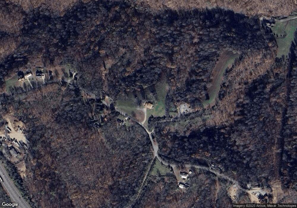
Map
Nearby Homes
- 3047 Gracie Ann Dr
- 3035 Gracie Ann Dr
- 2661 Tinnin Rd
- 3006 Gracie Ann Dr
- 1831 Woodruff Ave
- 1967 Liebengood Rd
- 4191 Wildflower Way
- 1155 Ridge Hill Rd
- 2132 Baker Station Rd
- 1161 Station Dr
- 2044 Liebengood Rd
- 3045 Tacoma Ln
- 2425 Barwood Dr
- 2196 Baker Station Rd
- 532 Strudwick Dr
- 6483 Dogwood Dr
- 1861 Fox Chase Dr
- 1015 Red Oak Dr
- 1017 Red Oak Dr
- 0 Baker Station Rd