171 Log Cabin Ln Dunlap, TN 37327
Cagle-Fredonia NeighborhoodEstimated Value: $508,000 - $625,000
--
Bed
--
Bath
1,764
Sq Ft
$307/Sq Ft
Est. Value
About This Home
This home is located at 171 Log Cabin Ln, Dunlap, TN 37327 and is currently estimated at $541,541, approximately $306 per square foot. 171 Log Cabin Ln is a home with nearby schools including Griffith Elementary School, Sequatchie County Middle School, and Sequatchie County High School.
Ownership History
Date
Name
Owned For
Owner Type
Purchase Details
Closed on
Apr 9, 2021
Sold by
Kovac Stephen and Kovac Elizabeth H
Bought by
Veneziano Joseph Mark and Veneziano Kimberly Nowlen
Current Estimated Value
Purchase Details
Closed on
Oct 24, 2008
Sold by
Developmen Wagner Brothers
Bought by
Kovac Stephen J
Purchase Details
Closed on
Jun 14, 1999
Bought by
Wagner Brothers Development
Purchase Details
Closed on
Jan 23, 1995
Bought by
Wanger Brothers Development Llc
Create a Home Valuation Report for This Property
The Home Valuation Report is an in-depth analysis detailing your home's value as well as a comparison with similar homes in the area
Home Values in the Area
Average Home Value in this Area
Purchase History
| Date | Buyer | Sale Price | Title Company |
|---|---|---|---|
| Veneziano Joseph Mark | $71,500 | None Available | |
| Kovac Stephen J | $88,000 | -- | |
| Wagner Brothers Development | $122,500 | -- | |
| Wanger Brothers Development Llc | $400,000 | -- |
Source: Public Records
Tax History Compared to Growth
Tax History
| Year | Tax Paid | Tax Assessment Tax Assessment Total Assessment is a certain percentage of the fair market value that is determined by local assessors to be the total taxable value of land and additions on the property. | Land | Improvement |
|---|---|---|---|---|
| 2025 | $2,036 | $110,875 | $0 | $0 |
| 2024 | $2,036 | $110,875 | $17,975 | $92,900 |
| 2023 | $330 | $17,975 | $17,975 | $0 |
| 2022 | $437 | $17,875 | $17,875 | $0 |
| 2021 | $437 | $17,875 | $17,875 | $0 |
| 2020 | $437 | $17,875 | $17,875 | $0 |
| 2019 | $437 | $17,875 | $17,875 | $0 |
| 2018 | $437 | $17,875 | $17,875 | $0 |
| 2017 | $437 | $17,875 | $17,875 | $0 |
| 2016 | $750 | $29,200 | $29,200 | $0 |
| 2015 | $750 | $29,200 | $29,200 | $0 |
| 2014 | $750 | $29,200 | $29,200 | $0 |
Source: Public Records
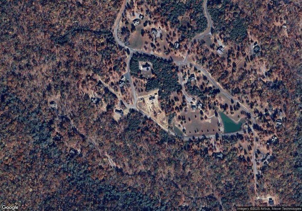
Map
Nearby Homes
- Lot 202 Deep Woods Dr
- 202 Deep Woods Dr
- 195 Deep Woods Dr
- 36 Stone Creek Trail
- Lot 309 Tree House Trail
- 400 Tree House Trail
- 0 Oak Leaf Ln
- 327 Two Lake Trail
- Lot 327 Two Lake Trail
- 0 Mountain Top Trail Unit RTC2796879
- Lot 547 Wilderness Way
- Lot 515 Wilderness Way
- Lot 512 Wilderness Way
- 512 Wilderness Way
- 547 Wilderness Way
- 561 Bluff View Dr
- Lot 561 Bluff View Dr
- 103-B Bluff View Dr
- 0 Bluff View Dr Unit 1512289
- 0 Bluff View Dr Unit RTC2865797
- Lot 1 Log Cabin Ln
- Lot #2 Log Cabin Ln
- 1 Log Cabin Ln
- 0 Tree View Unit 871422
- 1213 Log Cabin Ln
- 0 Overlook Ln
- 74 Log Cabin Ln
- 100 Log Cabin Ln
- 114 Log Cabin Ln
- 101 Log Cabin Ln
- 118 Log Cabin Ln
- 15 Log Cabin Ln
- 50 Overlook Ln
- 41 Overlook Ln
- 21 Log Cabin Ln
- Lot 202 Deep Woods Dr Unit 202
- 71 Tree View Trail
- 203 Deep Woods Dr
- 205 Deep Woods Dr
- Lot 205 Deep Woods Dr