Estimated Value: $408,000 - $676,000
4
Beds
3
Baths
1,164
Sq Ft
$454/Sq Ft
Est. Value
About This Home
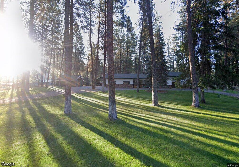
This home is located at 171 Manor Dr, Libby, MT 59923 and is currently estimated at $527,935, approximately $453 per square foot. 171 Manor Dr is a home located in Lincoln County with nearby schools including Libby Elementary School, Libby High School, and Kootenai Valley Christian School.
Ownership History
Date
Name
Owned For
Owner Type
Purchase Details
Closed on
Sep 19, 2018
Sold by
Wolfe Russell and Wolfe Angela
Bought by
Conkel Fred and Conkel Jane L
Current Estimated Value
Purchase Details
Closed on
Jul 24, 2018
Sold by
Brunsher Allen W
Bought by
Brunscher Brenda F Neuman
Purchase Details
Closed on
Aug 29, 2016
Sold by
Dalby Stephen H and Dalby Patricia Reichert
Bought by
Wolfe Russell and Wolfe Angela
Purchase Details
Closed on
Oct 17, 2014
Sold by
Newman Brenda E
Bought by
Newman Brunscher Brenda E and Brunscher Allen W
Create a Home Valuation Report for This Property
The Home Valuation Report is an in-depth analysis detailing your home's value as well as a comparison with similar homes in the area
Home Values in the Area
Average Home Value in this Area
Purchase History
| Date | Buyer | Sale Price | Title Company |
|---|---|---|---|
| Conkel Fred | -- | First American Title | |
| Brunscher Brenda F Neuman | -- | None Available | |
| Wolfe Russell | -- | First American Title Co | |
| Newman Brunscher Brenda E | -- | None Available |
Source: Public Records
Tax History
| Year | Tax Paid | Tax Assessment Tax Assessment Total Assessment is a certain percentage of the fair market value that is determined by local assessors to be the total taxable value of land and additions on the property. | Land | Improvement |
|---|---|---|---|---|
| 2025 | $432 | $455,700 | $0 | $0 |
| 2024 | $1,209 | $389,600 | $0 | $0 |
| 2023 | $2,730 | $389,600 | $0 | $0 |
| 2022 | $1,622 | $255,800 | $0 | $0 |
| 2021 | $2,019 | $255,800 | $0 | $0 |
| 2020 | $1,985 | $233,700 | $0 | $0 |
| 2019 | $1,970 | $233,700 | $0 | $0 |
| 2018 | $1,980 | $229,200 | $0 | $0 |
| 2017 | $1,795 | $229,200 | $0 | $0 |
| 2016 | $1,984 | $235,200 | $0 | $0 |
| 2015 | $1,455 | $235,200 | $0 | $0 |
| 2014 | $1,526 | $124,868 | $0 | $0 |
Source: Public Records
Map
Nearby Homes
- 475 Northwood Ave
- 142 Edgewater Dr
- 286 Edgewater Dr
- 118 Pine Grove Place
- 700 Airfield Rd
- 185 Riverdale Dr
- 55 Shalom Kerry Rd
- 203 E 2nd St
- 30 Shalom Kerry Rd
- 609 Wisconsin Ave
- 609 Minnesota Ave
- 109 W 2nd St
- 501 Louisiana Ave
- 613 Montana Ave
- 118 E Lincoln Blvd
- 226 Powerline Way
- 505 E 10th St
- 412 W 4th St
- 418 Idaho Ave
- 612 W 1st St
Your Personal Tour Guide
Ask me questions while you tour the home.