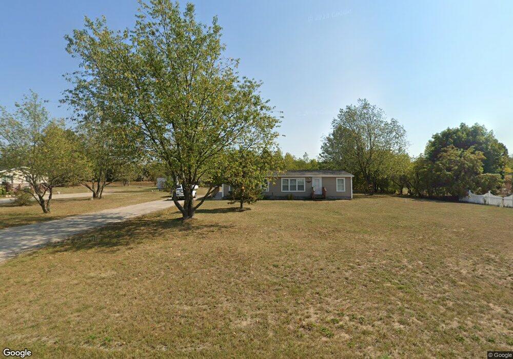
171 Poplar Dr Pellston, MI 49769
Estimated Value: $195,000 - $248,000
About This Home
This home is located at 171 Poplar Dr, Pellston, MI 49769 and is currently estimated at $216,858, approximately $87 per square foot. 171 Poplar Dr is a home located in Emmet County with nearby schools including Pellston Elementary School and Pellston Middle/High School.
Ownership History
We collect this data history from publicly available records. To have your information removed, we recommend requesting removal directly through your county’s website.
Purchase Details
Purchase Details
Purchase Details
Purchase Details
Purchase Details
Purchase Details
Purchase Details
Purchase Details
Purchase Details
Purchase History
We collect this data history from publicly available records. To have your information removed, we recommend requesting removal directly through your county’s website.
| Date | Buyer | Sale Price | Title Company |
|---|---|---|---|
| $3,403 | -- | ||
| $119,000 | -- | ||
| $759 | -- | ||
| $759 | -- | ||
| $37,500 | -- | ||
| -- | -- | ||
| $85,896 | -- | ||
| -- | -- | ||
| $12,000 | -- |
Tax History
We collect this data history from publicly available records. To have your information removed, we recommend requesting removal directly through your county’s website.
| Year | Tax Paid | Tax Assessment Tax Assessment Total Assessment is a certain percentage of the fair market value that is determined by local assessors to be the total taxable value of land and additions on the property. | Land | Improvement |
|---|---|---|---|---|
| 2025 | $3,843 | $95,300 | $95,300 | $0 |
| 2024 | $38 | $78,500 | $78,500 | $0 |
| 2023 | $1,988 | $74,000 | $74,000 | $0 |
| 2022 | $1,988 | $56,600 | $56,600 | $0 |
| 2021 | $1,311 | $41,500 | $41,500 | $0 |
| 2020 | $1,317 | $41,900 | $41,900 | $0 |
| 2019 | -- | $41,400 | $41,400 | $0 |
| 2018 | -- | $36,500 | $36,500 | $0 |
| 2017 | -- | $36,900 | $36,900 | $0 |
| 2016 | -- | $37,100 | $37,100 | $0 |
| 2015 | -- | $36,800 | $0 | $0 |
| 2014 | -- | $37,200 | $0 | $0 |
Map
- 6615 Mill St
- 6708 Tremble Trail
- 6809 Tremble Trail
- 6421 Airport Crossing Rd Unit 1
- 6122 Ringler Rd
- 6078 Ringler Rd
- 8959 Robinson Rd
- 2805 Pine Trail
- TBD Hardwood Rd
- 3945 Euclid St
- 4333 U S 31
- US 31 N Hwy
- 10 AC U S 31
- 9485 Ingleside Rd
- 4056 N Ayr Rd
- 5380 Burt Lake Views Dr
- 5395 S US 31 Hwy
- 10826 Chickagami Trail
- 10820 Ingleside Rd
- 00 VL Mill St
Ask me questions while you tour the home.