171 Reid Ln Waverly, TN 37185
Estimated Value: $510,000 - $638,000
--
Bed
2
Baths
2,646
Sq Ft
$213/Sq Ft
Est. Value
About This Home
This home is located at 171 Reid Ln, Waverly, TN 37185 and is currently estimated at $562,378, approximately $212 per square foot. 171 Reid Ln is a home located in Humphreys County.
Ownership History
Date
Name
Owned For
Owner Type
Purchase Details
Closed on
Dec 18, 2022
Sold by
Perrone Cathy Sue and Queen Cindy Diane
Bought by
Queen Edmond Ray
Current Estimated Value
Purchase Details
Closed on
Jul 14, 2011
Sold by
Queen Cynthia Williams
Bought by
Queen Edmond Ray
Purchase Details
Closed on
Mar 9, 2010
Sold by
Queen Cynthia Diane
Bought by
Queen Edmond Ray
Purchase Details
Closed on
May 14, 1993
Bought by
Queen Cynthia Diane
Purchase Details
Closed on
May 11, 1993
Purchase Details
Closed on
Jul 5, 1990
Purchase Details
Closed on
Jan 25, 1980
Purchase Details
Closed on
Jun 14, 1978
Create a Home Valuation Report for This Property
The Home Valuation Report is an in-depth analysis detailing your home's value as well as a comparison with similar homes in the area
Home Values in the Area
Average Home Value in this Area
Purchase History
| Date | Buyer | Sale Price | Title Company |
|---|---|---|---|
| Queen Edmond Ray | -- | None Listed On Document | |
| Queen Edmond Ray | -- | -- | |
| Queen Edmond Ray | -- | -- | |
| Queen Cynthia Diane | -- | -- | |
| -- | $132,500 | -- | |
| -- | -- | -- | |
| -- | -- | -- | |
| -- | -- | -- |
Source: Public Records
Tax History Compared to Growth
Tax History
| Year | Tax Paid | Tax Assessment Tax Assessment Total Assessment is a certain percentage of the fair market value that is determined by local assessors to be the total taxable value of land and additions on the property. | Land | Improvement |
|---|---|---|---|---|
| 2024 | $2,537 | $137,875 | $22,950 | $114,925 |
| 2023 | $2,539 | $137,875 | $22,950 | $114,925 |
| 2022 | $1,848 | $84,775 | $18,525 | $66,250 |
| 2021 | $1,848 | $84,775 | $18,525 | $66,250 |
| 2020 | $1,848 | $84,775 | $18,525 | $66,250 |
| 2019 | $1,459 | $71,750 | $18,350 | $53,400 |
| 2018 | $1,459 | $71,750 | $18,350 | $53,400 |
| 2017 | $1,406 | $71,750 | $18,350 | $53,400 |
| 2016 | $1,381 | $62,775 | $13,175 | $49,600 |
| 2015 | $1,381 | $62,775 | $13,175 | $49,600 |
| 2014 | $1,381 | $62,773 | $0 | $0 |
Source: Public Records
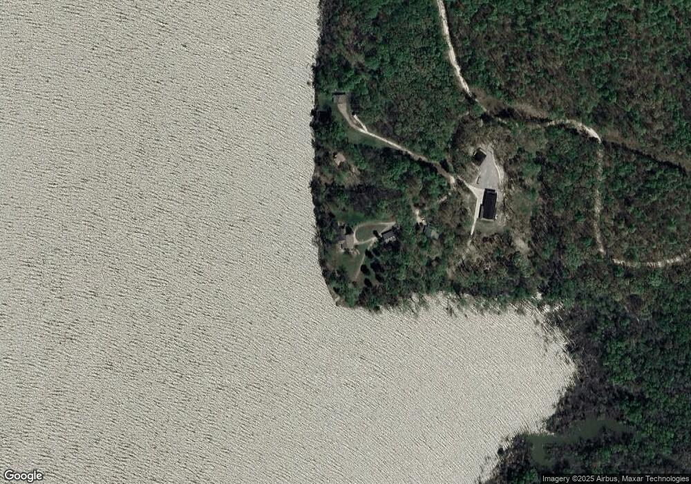
Map
Nearby Homes
- 0 Mcnair Dr Unit RTC2963603
- 24 Charlsie Ln
- 63 Charlsie Ln
- 0 Lake Trail Unit RTC2447746
- 0 Beechwood Cir Unit RTC2667184
- 0 Forest Crossing Unit RTC2974498
- 0 Beechtree Cir
- 1035 Forrest Crossing
- 0 Sunset Ridge Unit RTC3000942
- 0 Sunset Ridge Unit RTC2974508
- 0 Sunset Ridge Unit RTC2890860
- 0 Sunset Ridge Unit 134192
- 0 Sunset Ridge Unit 16796965
- 100 Sunset Ridge
- 0 N River Cove Unit 2504777
- 0 Cleburne Ot Unit RTC2447792
- 0 Stonewall Jackson Dr Unit RTC2778967
- 360 Blacks Bluff Ln
- 00 Eagle Nest Ln
- 0 Eagle View Cove Unit 129129
- 71 Reid Ln
- 118 Reid Ln
- 65 Reid Ln
- 8721 Greenbriar Rd
- 0 River Ln
- 8811 Greenbriar Rd
- 8834 Greenbriar Rd
- 8891 Greenbriar Rd
- 36 River Ln
- 39 River Ln
- 38 River Ln
- 37 River Ln
- 8956 Greenbriar Rd
- 8963 Greenbriar Rd
- 9035 Greenbriar Rd
- 8954 Greenbriar Rd
- 9026 Greenbriar Rd
- 9024 Greenbriar Rd
- 9041 Greenbriar Rd
- 1231 River Ln