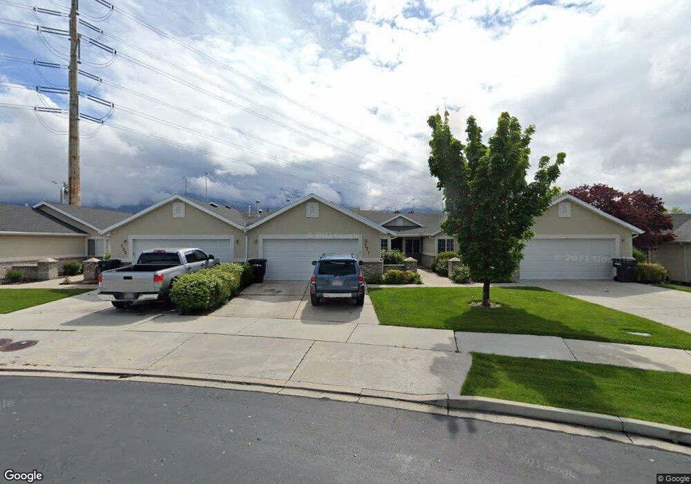
171 S 1470 W Unit 29 Provo, UT 84601
Franklin NeighborhoodEstimated Value: $387,000 - $404,000
3
Beds
2
Baths
1,435
Sq Ft
$275/Sq Ft
Est. Value
About This Home
This home is located at 171 S 1470 W Unit 29, Provo, UT 84601 and is currently estimated at $395,040, approximately $275 per square foot. 171 S 1470 W Unit 29 is a home located in Utah County with nearby schools including Sunset View Elementary School, Dixon Middle School, and Provo High School.
Ownership History
Date
Name
Owned For
Owner Type
Purchase Details
Closed on
Nov 26, 2018
Sold by
Broxton Jeanine and Lynn Schofield A
Bought by
Weatherhand Debbie
Current Estimated Value
Home Financials for this Owner
Home Financials are based on the most recent Mortgage that was taken out on this home.
Original Mortgage
$75,001
Outstanding Balance
$47,902
Interest Rate
4.9%
Mortgage Type
New Conventional
Estimated Equity
$347,138
Purchase Details
Closed on
Feb 26, 2007
Sold by
Myler Development Inc
Bought by
Schofield Aldred E and Schofield Gaye G
Create a Home Valuation Report for This Property
The Home Valuation Report is an in-depth analysis detailing your home's value as well as a comparison with similar homes in the area
Home Values in the Area
Average Home Value in this Area
Purchase History
| Date | Buyer | Sale Price | Title Company |
|---|---|---|---|
| Weatherhand Debbie | -- | Rampart Title Ins Agency | |
| Schofield Aldred E | -- | Inwest Title Services Inc |
Source: Public Records
Mortgage History
| Date | Status | Borrower | Loan Amount |
|---|---|---|---|
| Open | Weatherhand Debbie | $75,001 |
Source: Public Records
Tax History Compared to Growth
Tax History
| Year | Tax Paid | Tax Assessment Tax Assessment Total Assessment is a certain percentage of the fair market value that is determined by local assessors to be the total taxable value of land and additions on the property. | Land | Improvement |
|---|---|---|---|---|
| 2025 | $2,043 | $210,155 | $56,200 | $325,900 |
| 2024 | $2,043 | $201,080 | $0 | $0 |
| 2023 | $1,905 | $184,855 | $0 | $0 |
| 2022 | $1,995 | $195,250 | $0 | $0 |
| 2021 | $1,564 | $266,900 | $40,000 | $226,900 |
| 2020 | $1,576 | $252,200 | $37,800 | $214,400 |
| 2019 | $1,464 | $243,600 | $31,700 | $211,900 |
| 2018 | $1,245 | $210,000 | $26,000 | $184,000 |
| 2017 | $1,110 | $102,905 | $0 | $0 |
| 2016 | $1,050 | $90,750 | $0 | $0 |
| 2015 | $904 | $78,980 | $0 | $0 |
| 2014 | $867 | $78,980 | $0 | $0 |
Source: Public Records
Map
Nearby Homes
- 249 West Ln Unit 10
- 147 S 1680 W
- 478 S 1330 W
- 1828 W 170 S
- 273 S 1860 W
- 208 S 1050 W Unit 42
- 221 S 1050 W Unit 34
- 1744 W 150 N
- 1070 W Center St
- 1303 W 600 S
- 968 W 265 N Unit 4
- 17 N 1000 West St
- 312 S 1920 W
- 985 W 300 S
- 736 W 300 S
- 1021 W 100 N
- 945 W 100 S Unit W
- 255 N 1600 W Unit 148
- 255 N 1600 W Unit 52
- 255 N 1600 W Unit 84
- 171 S 1470 W
- 155 S 1470 W
- 155 S 1470 W Unit 28
- 179 S 1470 W
- 179 S 1470 W Unit 30
- 147 S 1470 W
- 1414 W 170 S
- 1408 Westbridge Dr Unit 34
- 1436 Westbridge Dr
- 1428 Westbridge Dr
- 1428 Westbridge Dr Unit 33
- 1402 Westbridge Dr
- 1444 Westbridge Dr
- 1444 Westbridge Dr Unit 31
- 191 S 1500 W
- 191 S 1500 W Unit 25
- 162 S 1470 W
- 162 S 1470 W Unit 19
- 197 S 1500 W
- 197 S 1500 W Unit 26