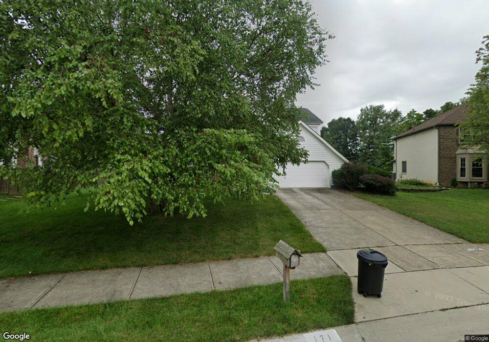
171 Trail Edge Cir Powell, OH 43065
Estimated Value: $585,656 - $604,000
3
Beds
3
Baths
2,834
Sq Ft
$209/Sq Ft
Est. Value
About This Home
This home is located at 171 Trail Edge Cir, Powell, OH 43065 and is currently estimated at $592,914, approximately $209 per square foot. 171 Trail Edge Cir is a home located in Delaware County with nearby schools including Wyandot Run Elementary School, Olentangy Liberty Middle School, and Olentangy High School.
Ownership History
Date
Name
Owned For
Owner Type
Purchase Details
Closed on
Nov 4, 1996
Sold by
Schmiege David A
Bought by
Walton Melissa M and Buzard William S
Current Estimated Value
Home Financials for this Owner
Home Financials are based on the most recent Mortgage that was taken out on this home.
Original Mortgage
$137,000
Interest Rate
8.23%
Mortgage Type
Balloon
Create a Home Valuation Report for This Property
The Home Valuation Report is an in-depth analysis detailing your home's value as well as a comparison with similar homes in the area
Home Values in the Area
Average Home Value in this Area
Purchase History
| Date | Buyer | Sale Price | Title Company |
|---|---|---|---|
| Walton Melissa M | $229,900 | -- |
Source: Public Records
Mortgage History
| Date | Status | Borrower | Loan Amount |
|---|---|---|---|
| Previous Owner | Walton Melissa M | $137,000 |
Source: Public Records
Tax History
| Year | Tax Paid | Tax Assessment Tax Assessment Total Assessment is a certain percentage of the fair market value that is determined by local assessors to be the total taxable value of land and additions on the property. | Land | Improvement |
|---|---|---|---|---|
| 2024 | $8,609 | $164,300 | $36,580 | $127,720 |
| 2023 | $8,642 | $164,300 | $36,580 | $127,720 |
| 2022 | $8,157 | $122,960 | $27,480 | $95,480 |
| 2021 | $8,298 | $122,960 | $27,480 | $95,480 |
| 2020 | $8,328 | $122,960 | $27,480 | $95,480 |
| 2019 | $6,982 | $106,930 | $23,910 | $83,020 |
| 2018 | $7,063 | $106,930 | $23,910 | $83,020 |
| 2017 | $6,629 | $95,280 | $19,640 | $75,640 |
| 2016 | $6,753 | $95,280 | $19,640 | $75,640 |
| 2015 | $6,145 | $95,280 | $19,640 | $75,640 |
| 2014 | $6,227 | $95,280 | $19,640 | $75,640 |
| 2013 | $6,131 | $91,670 | $19,640 | $72,030 |
Source: Public Records
Map
Nearby Homes
- 149 Trail Edge Cir
- 149 Chedworth Row
- 269 Ridge Side Dr
- 170 Barrington Place
- 22 Brookehill Dr
- 22 Liberty Ridge Ave
- 130 Barrington Place
- 104 Encore Park Bend
- 612 Foxdale Place Unit 612
- 5552 Jessica Ln W
- 120 S Liberty St
- 18 Murphys View Place Unit I18
- 1937 Liberty St
- 86 Cressingham Ln
- 97 Murphys Crossing Dr
- 0 Bunker Ln
- 0 Liberty Rd N Unit Lot 4
- 0 Liberty Rd N Unit Lot 6
- 9406 Cadogan Ct
- 3638 Foresta Grand Dr
- 157 Trail Edge Cir
- 185 Trail Edge Cir
- 283 Muladore Dr
- 295 Muladore Dr
- 273 Muladore Dr
- 161 Ridge Side Dr
- 144 Trail Edge Cir
- 320 Village Ridge Dr
- 261 Muladore Dr
- 196 Ridge Side Dr
- 147 Ridge Side Dr
- 126 Trail Edge Cir
- 278 Muladore Dr
- 290 Muladore Dr
- 323 Village Ridge Dr
- 330 Village Ridge Dr
- 121 Trail Edge Cir
- 309 Olenview Cir W
- 249 Muladore Dr
- 266 Muladore Dr
Your Personal Tour Guide
Ask me questions while you tour the home.