171 Uselton Rd Shelbyville, TN 37160
Estimated Value: $433,000 - $489,000
--
Bed
1
Bath
1,595
Sq Ft
$293/Sq Ft
Est. Value
About This Home
This home is located at 171 Uselton Rd, Shelbyville, TN 37160 and is currently estimated at $467,047, approximately $292 per square foot. 171 Uselton Rd is a home located in Bedford County with nearby schools including Liberty Elementary School.
Ownership History
Date
Name
Owned For
Owner Type
Purchase Details
Closed on
Jun 6, 2007
Sold by
Lane Omar E Et Ux Marie
Bought by
Crowell Jennie Dianna
Current Estimated Value
Purchase Details
Closed on
Sep 15, 2006
Sold by
Lane Omar E
Bought by
Crowell Jan C
Purchase Details
Closed on
Feb 4, 1974
Bought by
Lane Omar E and Lane Marie
Purchase Details
Closed on
Jun 14, 1962
Create a Home Valuation Report for This Property
The Home Valuation Report is an in-depth analysis detailing your home's value as well as a comparison with similar homes in the area
Home Values in the Area
Average Home Value in this Area
Purchase History
| Date | Buyer | Sale Price | Title Company |
|---|---|---|---|
| Crowell Jennie Dianna | -- | -- | |
| Crowell Jan C | $25,000 | -- | |
| Lane Omar E | -- | -- | |
| -- | -- | -- |
Source: Public Records
Tax History Compared to Growth
Tax History
| Year | Tax Paid | Tax Assessment Tax Assessment Total Assessment is a certain percentage of the fair market value that is determined by local assessors to be the total taxable value of land and additions on the property. | Land | Improvement |
|---|---|---|---|---|
| 2025 | $1,284 | $55,225 | $0 | $0 |
| 2024 | $1,284 | $55,225 | $19,425 | $35,800 |
| 2023 | $1,279 | $55,025 | $19,425 | $35,600 |
| 2022 | $1,279 | $55,025 | $19,425 | $35,600 |
| 2021 | $1,081 | $55,025 | $19,425 | $35,600 |
| 2020 | $952 | $55,025 | $19,425 | $35,600 |
| 2019 | $952 | $35,800 | $15,650 | $20,150 |
| 2018 | $916 | $35,800 | $15,650 | $20,150 |
| 2017 | $916 | $35,800 | $15,650 | $20,150 |
| 2016 | $902 | $35,800 | $0 | $0 |
| 2015 | $902 | $35,800 | $0 | $0 |
| 2014 | $702 | $30,908 | $0 | $0 |
Source: Public Records
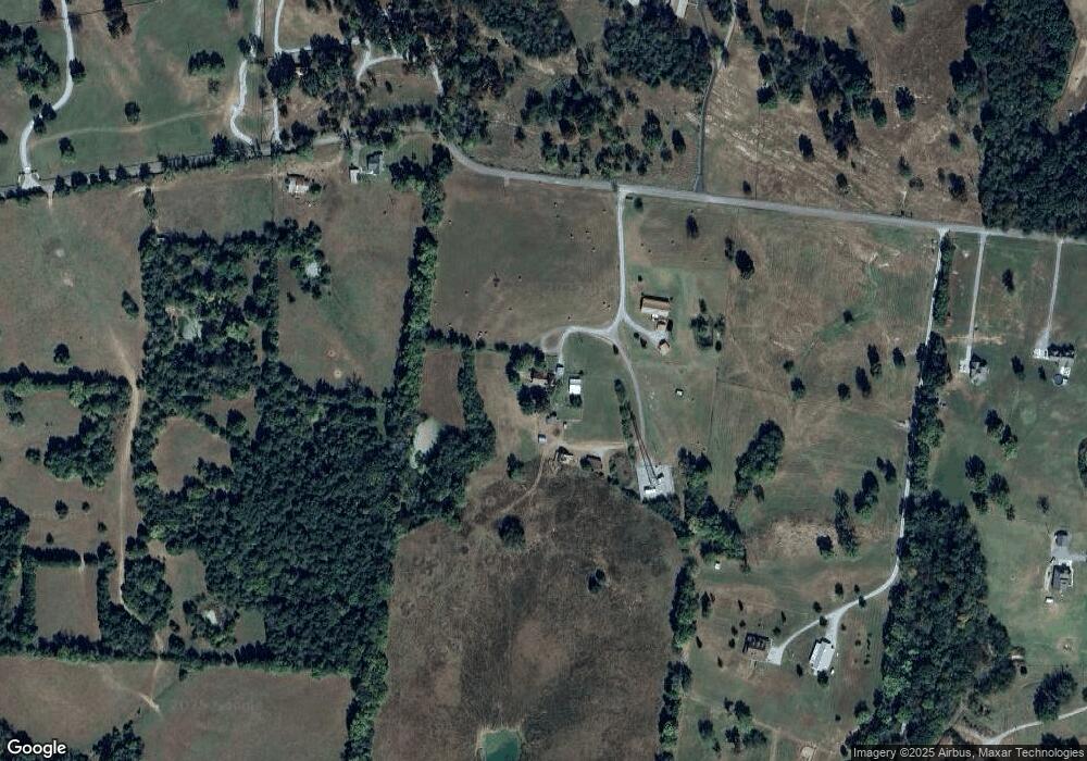
Map
Nearby Homes
- 0 Knight Campground Rd
- 3 Knight Campground Rd
- 8 Farris Ln
- 0 Dixon Rd Unit RTC3045417
- 321 Dixon Rd
- 422 Bethlehem Church Rd
- 7 Dixon Rd
- 12 Dixon Rd
- 395 Harrison Rd
- 163 Gant Rd
- 388 Coble Rd
- 2028 Highway 64 W
- 1617 Highway 130 W
- 332 Coble Rd
- 0 Adams Hollow Rd
- 392 Adams Rd
- 384 Adams Rd
- 245 Henslee Rd
- 1261 Highway 130 W
- 1106 Highway 130 W
- 169 Uselton Rd
- 199 Uselton Rd
- 161 Uselton Rd
- 200 Uselton Rd
- 168 Uselton Rd
- 151 Uselton Rd
- 141 Uselton Rd
- 210 Uselton Rd
- 745 Knight Campground Rd
- 759 Knight Campground Rd
- 263 Uselton Rd
- 105 Uselton Rd
- 749 Knight Campground Rd
- 269 Uselton Rd
- 2 Uselton Rd
- 733 Knight Campground Rd
- 750 Knight Campground Rd
- 262 Uselton Rd
- 1627 Highway 64 W
- 1625 Highway 64 W