1710 Cotton Branch Rd Linden, TN 37096
Estimated Value: $49,039
--
Bed
1
Bath
--
Sq Ft
16.15
Acres
About This Home
This home is located at 1710 Cotton Branch Rd, Linden, TN 37096 and is currently estimated at $49,039. 1710 Cotton Branch Rd is a home located in Perry County.
Ownership History
Date
Name
Owned For
Owner Type
Purchase Details
Closed on
Jun 19, 2015
Sold by
Mcgowan Peggy Mahoney Estate
Bought by
Smiley Joseph C
Current Estimated Value
Purchase Details
Closed on
Jun 14, 2012
Sold by
Mcgowan Robert W
Bought by
Smiley Joseph C
Home Financials for this Owner
Home Financials are based on the most recent Mortgage that was taken out on this home.
Original Mortgage
$50,053
Interest Rate
3.83%
Mortgage Type
VA
Purchase Details
Closed on
Apr 12, 1997
Purchase Details
Closed on
Jan 6, 1997
Bought by
Mcgowan Robert W and Mcgowan Peggy
Purchase Details
Closed on
Feb 11, 1992
Bought by
Mcgowan Robert W
Purchase Details
Closed on
Oct 25, 1989
Bought by
Mcgowan Robert W and Mcgowan Annie M
Create a Home Valuation Report for This Property
The Home Valuation Report is an in-depth analysis detailing your home's value as well as a comparison with similar homes in the area
Home Values in the Area
Average Home Value in this Area
Purchase History
| Date | Buyer | Sale Price | Title Company |
|---|---|---|---|
| Smiley Joseph C | $21,000 | -- | |
| Smiley Joseph C | $49,000 | -- | |
| -- | -- | -- | |
| Mcgowan Robert W | $3,000 | -- | |
| Mcgowan Robert W | -- | -- | |
| Mcgowan Robert W | $5,000 | -- |
Source: Public Records
Mortgage History
| Date | Status | Borrower | Loan Amount |
|---|---|---|---|
| Previous Owner | Smiley Joseph C | $50,053 |
Source: Public Records
Tax History Compared to Growth
Tax History
| Year | Tax Paid | Tax Assessment Tax Assessment Total Assessment is a certain percentage of the fair market value that is determined by local assessors to be the total taxable value of land and additions on the property. | Land | Improvement |
|---|---|---|---|---|
| 2025 | $35 | $1,525 | $0 | $0 |
| 2024 | $35 | $1,525 | $1,525 | $0 |
| 2023 | $35 | $1,525 | $1,525 | $0 |
| 2022 | $35 | $1,525 | $1,525 | $0 |
| 2021 | $35 | $1,525 | $1,525 | $0 |
| 2020 | $35 | $1,525 | $1,525 | $0 |
| 2019 | $32 | $1,300 | $1,300 | $0 |
| 2018 | $32 | $1,300 | $1,300 | $0 |
| 2017 | $32 | $1,300 | $1,300 | $0 |
| 2016 | $37 | $1,500 | $1,500 | $0 |
| 2015 | $36 | $1,500 | $1,500 | $0 |
| 2014 | $36 | $1,500 | $1,500 | $0 |
| 2013 | $27 | $1,111 | $0 | $0 |
Source: Public Records
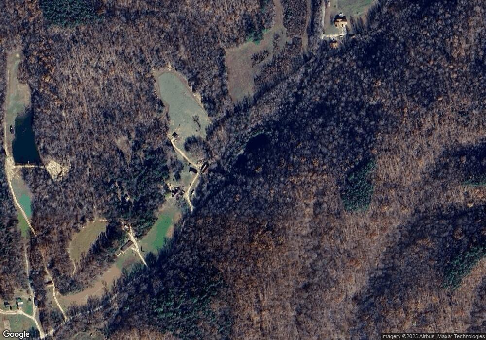
Map
Nearby Homes
- 0 Hurricane Creek Rd Unit RTC2809380
- 5 Carter Hollow Rd
- 0 Sassafras Stand Ridge Rd
- Hurricane Creek Rd
- 1 Remnant Way
- Paved Road Frontage
- 1661 Sassafras Stand Ridge Rd
- 278 Bear Brook Way
- 0 Rockhouse Rd Unit RTC3001092
- 768 Starlight Dr
- 0 Black Bear Trail
- 944 Hillbrook Dr
- 1406 Hillbrook Dr
- 481 Hillbrook Dr
- 0 Whitwell Cemetery Rd
- 320 Liberty Ridge Rd
- 191 Vista Dr
- 37 Vista Dr
- 1477 Hawthorn Dr
- 0G Toll Hollow Rd