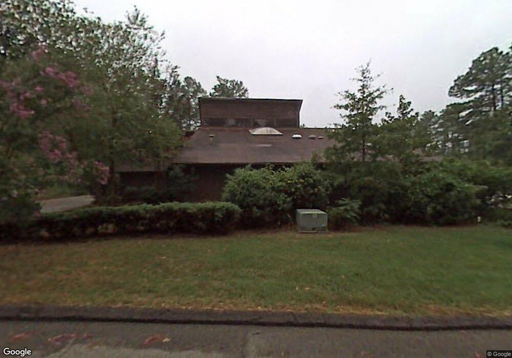
1710 Kendall Dr Durham, NC 27703
Eastern Durham NeighborhoodEstimated Value: $479,000 - $613,643
3
Beds
4
Baths
3,241
Sq Ft
$169/Sq Ft
Est. Value
About This Home
This home is located at 1710 Kendall Dr, Durham, NC 27703 and is currently estimated at $548,661, approximately $169 per square foot. 1710 Kendall Dr is a home located in Durham County with nearby schools including Bethesda Elementary School, John W Neal Middle School, and Southern School of Energy & Sustainability.
Ownership History
Date
Name
Owned For
Owner Type
Purchase Details
Closed on
Dec 17, 2018
Sold by
Place Thomas Jefferson and Kadolph Jessie Camille
Bought by
Wu Judy and Wan Aaron
Current Estimated Value
Home Financials for this Owner
Home Financials are based on the most recent Mortgage that was taken out on this home.
Original Mortgage
$157,500
Outstanding Balance
$139,038
Interest Rate
4.9%
Mortgage Type
New Conventional
Estimated Equity
$409,623
Purchase Details
Closed on
Dec 15, 2014
Sold by
Jarrell Joshua and Jarrell Meredith
Bought by
Place Thomas Jefferson and Kadolph Jessie Camille
Home Financials for this Owner
Home Financials are based on the most recent Mortgage that was taken out on this home.
Original Mortgage
$181,600
Interest Rate
3.25%
Mortgage Type
Adjustable Rate Mortgage/ARM
Create a Home Valuation Report for This Property
The Home Valuation Report is an in-depth analysis detailing your home's value as well as a comparison with similar homes in the area
Home Values in the Area
Average Home Value in this Area
Purchase History
| Date | Buyer | Sale Price | Title Company |
|---|---|---|---|
| Wu Judy | $315,000 | None Available | |
| Place Thomas Jefferson | $227,000 | None Available |
Source: Public Records
Mortgage History
| Date | Status | Borrower | Loan Amount |
|---|---|---|---|
| Open | Wu Judy | $157,500 | |
| Previous Owner | Place Thomas Jefferson | $181,600 |
Source: Public Records
Tax History
| Year | Tax Paid | Tax Assessment Tax Assessment Total Assessment is a certain percentage of the fair market value that is determined by local assessors to be the total taxable value of land and additions on the property. | Land | Improvement |
|---|---|---|---|---|
| 2025 | $6,069 | $612,218 | $109,900 | $502,318 |
| 2024 | $3,733 | $267,644 | $31,420 | $236,224 |
| 2023 | $3,506 | $267,644 | $31,420 | $236,224 |
| 2022 | $3,426 | $267,644 | $31,420 | $236,224 |
| 2021 | $3,410 | $267,644 | $31,420 | $236,224 |
| 2020 | $3,329 | $267,644 | $31,420 | $236,224 |
| 2019 | $3,329 | $267,644 | $31,420 | $236,224 |
| 2018 | $2,916 | $214,984 | $31,420 | $183,564 |
| 2017 | $2,895 | $214,984 | $31,420 | $183,564 |
| 2016 | $2,797 | $214,984 | $31,420 | $183,564 |
| 2015 | $2,993 | $216,242 | $23,062 | $193,180 |
| 2014 | $2,993 | $216,242 | $23,062 | $193,180 |
Source: Public Records
Map
Nearby Homes
- 305 Kendall Dr Unit 203
- 806 Kendall Dr Unit 502
- 1316 Kendall Dr
- 1218 Kendall Dr
- 2905 Forrestal Dr
- 2051 Tanners Mill Dr
- 2055 Tanners Mill Dr
- 3211 Ivey Wood Ln
- 1015 Sora Way
- 3111 Ivey Wood Ln
- 519 Pleasant Dr
- 818 Lynn Rd
- 3205 Delmar Dr
- 3211 Delmar Dr
- 3301 Delmar Dr
- 3303 Delmar Dr
- 3305 Delmar Dr
- 3307 Delmar Dr
- 3309 Delmar Dr
- 1005 Gemstone Way
- 93 Kendall Dr
- 94 Kendall Dr
- 92 Kendall Dr
- 91 Kendall Dr
- 101 Kendall Dr Unit 101
- 402 Kendall Dr
- 0 Kendall Dr Unit 1921300
- 0 Kendall Dr Unit 99 TR1921300
- 226 Pleasant Dr
- 1407 Kendall Dr
- 1407 Kendall Dr Unit 904
- 105 Kendall Dr
- 103 Kendall Dr Unit 102
- 404 Kendall Dr Unit 403
- 1324 Kendall Dr
- 1320 Kendall Dr
- 1322 Kendall Dr
- 1318 Kendall Dr
- 408 Kendall Dr
- 408 Kendall Dr Unit 401
Your Personal Tour Guide
Ask me questions while you tour the home.