1710 Lower Monitor Rd Wenatchee, WA 98801
Estimated Value: $668,783 - $767,000
3
Beds
2
Baths
2,410
Sq Ft
$300/Sq Ft
Est. Value
About This Home
This home is located at 1710 Lower Monitor Rd, Wenatchee, WA 98801 and is currently estimated at $722,928, approximately $299 per square foot. 1710 Lower Monitor Rd is a home located in Chelan County with nearby schools including Sunnyslope Elementary School, Foothills Middle School, and Wenatchee High School.
Ownership History
Date
Name
Owned For
Owner Type
Purchase Details
Closed on
Aug 12, 2020
Sold by
Days Darren M and Days Melissa A
Bought by
Weber Donald Coy and Weber Karen Marie
Current Estimated Value
Home Financials for this Owner
Home Financials are based on the most recent Mortgage that was taken out on this home.
Original Mortgage
$493,500
Outstanding Balance
$437,769
Interest Rate
3%
Mortgage Type
New Conventional
Estimated Equity
$285,159
Purchase Details
Closed on
Jul 14, 2011
Sold by
Sanders Gary Scott and Sanders Annette
Bought by
Days Darren M and Days Melissa A
Home Financials for this Owner
Home Financials are based on the most recent Mortgage that was taken out on this home.
Original Mortgage
$330,000
Interest Rate
4.5%
Mortgage Type
VA
Create a Home Valuation Report for This Property
The Home Valuation Report is an in-depth analysis detailing your home's value as well as a comparison with similar homes in the area
Home Values in the Area
Average Home Value in this Area
Purchase History
| Date | Buyer | Sale Price | Title Company |
|---|---|---|---|
| Weber Donald Coy | $519,500 | Central Wash Title Svcs Inc | |
| Days Darren M | $330,000 | First Amer Title Wenatchee |
Source: Public Records
Mortgage History
| Date | Status | Borrower | Loan Amount |
|---|---|---|---|
| Open | Weber Donald Coy | $493,500 | |
| Previous Owner | Days Darren M | $330,000 |
Source: Public Records
Tax History Compared to Growth
Tax History
| Year | Tax Paid | Tax Assessment Tax Assessment Total Assessment is a certain percentage of the fair market value that is determined by local assessors to be the total taxable value of land and additions on the property. | Land | Improvement |
|---|---|---|---|---|
| 2021 | $4,025 | $396,133 | $172,000 | $224,133 |
| 2020 | $3,773 | $345,836 | $131,000 | $214,836 |
| 2019 | $3,214 | $348,302 | $131,000 | $217,302 |
| 2018 | $3,995 | $305,509 | $113,000 | $192,509 |
| 2017 | $3,375 | $316,666 | $113,000 | $203,666 |
| 2016 | $3,177 | $286,175 | $98,000 | $188,175 |
| 2015 | $3,177 | $288,260 | $98,000 | $190,260 |
| 2013 | $3,177 | $268,664 | $85,000 | $183,664 |
Source: Public Records
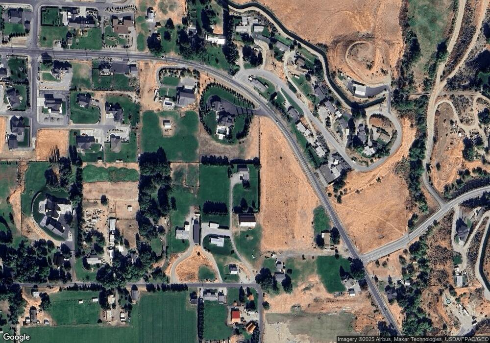
Map
Nearby Homes
- 37 Golden Hills Ln
- 3825 Sunridge Ln
- 1400 Westpoint Place
- 360 Diede Hills Ln
- 1395 Mountain Vista
- 1901 Sleepy Hollow Rd
- 4285 W Eaglerock Place
- 1093 Rue Jolie Ln
- 990 Sage Crest Dr
- 3765 Iroquois Ln
- 921 Easy St
- 826 Autumn Crest Dr
- 83 Sunny Meadows Loop
- 394 Lure Ln
- 870 Autumn Crest Dr
- 4261 April Dr
- 838 Autumn Crest Dr
- 814 Easy St
- 194 Lilly Ln
- 3992 Knowles Rd
- 1695 Easy St
- 1738 Lower Monitor Rd
- 1675 Sunset Dr
- 1661 Sunset Dr
- 1689 Sunset Dr
- 1655 Sunset Dr
- 1697 Sunset Dr
- 1711 Easy St
- 1706 Lower Monitor Rd
- 1770 Lower Monitor Rd
- 1615 Easy St
- 1650 Sunset Dr
- 1646 Sunset Dr
- 1674 Sunset Dr
- 1645 Sunset Dr
- 1682 Sunset Dr
- 1609 Easy St
- 1712 Sunset Dr
- 78 Alexander Ln
- 1620 Sunset Dr