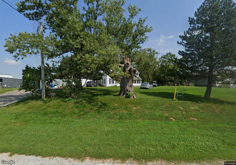
1710 Lower Old Highway 6 Rd NW Oxford, IA 52322
Estimated Value: $264,000 - $343,000
--
Bed
1
Bath
1,840
Sq Ft
$158/Sq Ft
Est. Value
About This Home
This home is located at 1710 Lower Old Highway 6 Rd NW, Oxford, IA 52322 and is currently estimated at $291,162, approximately $158 per square foot. 1710 Lower Old Highway 6 Rd NW is a home located in Johnson County with nearby schools including Clear Creek Amana High School.
Ownership History
Date
Name
Owned For
Owner Type
Purchase Details
Closed on
Jan 4, 2006
Sold by
Bank One
Bought by
Koenighain Chad P and Koenighain Stacy L
Current Estimated Value
Home Financials for this Owner
Home Financials are based on the most recent Mortgage that was taken out on this home.
Original Mortgage
$138,000
Outstanding Balance
$77,441
Interest Rate
6.34%
Mortgage Type
New Conventional
Estimated Equity
$213,721
Purchase Details
Closed on
Jan 11, 2005
Sold by
Pulkrabek Lonny
Bought by
Bank One
Create a Home Valuation Report for This Property
The Home Valuation Report is an in-depth analysis detailing your home's value as well as a comparison with similar homes in the area
Home Values in the Area
Average Home Value in this Area
Purchase History
| Date | Buyer | Sale Price | Title Company |
|---|---|---|---|
| Koenighain Chad P | $138,000 | None Available | |
| Bank One | $130,275 | None Available |
Source: Public Records
Mortgage History
| Date | Status | Borrower | Loan Amount |
|---|---|---|---|
| Open | Koenighain Chad P | $138,000 |
Source: Public Records
Tax History Compared to Growth
Tax History
| Year | Tax Paid | Tax Assessment Tax Assessment Total Assessment is a certain percentage of the fair market value that is determined by local assessors to be the total taxable value of land and additions on the property. | Land | Improvement |
|---|---|---|---|---|
| 2025 | $3,348 | $259,400 | $81,000 | $178,400 |
| 2024 | $3,232 | $247,300 | $81,000 | $166,300 |
| 2023 | $3,420 | $247,300 | $81,000 | $166,300 |
| 2022 | $3,376 | $224,100 | $94,800 | $129,300 |
| 2021 | $2,984 | $224,100 | $94,800 | $129,300 |
| 2020 | $2,984 | $189,300 | $77,600 | $111,700 |
| 2019 | $2,854 | $189,300 | $77,600 | $111,700 |
| 2018 | $2,826 | $180,800 | $71,000 | $109,800 |
| 2017 | $2,890 | $180,800 | $71,000 | $109,800 |
| 2016 | $2,640 | $177,600 | $71,000 | $106,600 |
| 2015 | $2,640 | $172,900 | $71,000 | $101,900 |
| 2014 | $2,458 | $166,300 | $71,000 | $95,300 |
Source: Public Records
Map
Nearby Homes
- 313 James Blvd
- 401 James Blvd
- 230 W Main St
- Lot 1 Wildflower Estates Part One
- 571 N Kimberlite St
- 3141 Lincolns Ln NW
- Lot 6 (Tbd) Lincolns Landing
- Lot 3 (Tbd) Lincolns Landing
- 2442 Copi Rd NW
- 46 Renee Ln
- 510 Elizabeth Ln
- 1300 Tall Grass Ave
- 607 Owen St
- 3375 Half Moon Ave SW
- 1250 Tall Grass Ave
- 1337 Twin Leaf Ave
- 1336 Moon Flower Ave
- 605 Doe Ave
- 612 Doe Ave
- 0 Ireland Ave NW
- 1709 Lower Old Highway 6 Rd NW
- 1716 Lower Old Highway 6 Rd NW
- 1691 Lower Oxford Rd NW
- 1697 Lower Old Highway 6 Rd NW
- 1721 Lower Old Highway 6 Rd NW
- Lot 1 Trails End
- 1743 Lower Old Highway 6 Rd NW
- 1697 Olde Hwy 6
- 1729 Lower Old Highway 6 Rd NW
- 1751 Lower Old Highway 6 Rd NW
- 1751 Lower Old Highway 6 Rd NW
- 1782 Lower Old Highway 6 Rd NW
- 1684 Highway 6 NW
- 1678 Highway 6 NW
- 1669 Highway 6 NW
- 2822 Eagle Ave NW
- 1639 Highway 6 NW
- 2795 Millers Pond Ct NW
- 2783 Millers Pond Ct NW
- 1840 Lower Old Highway 6 Rd NW