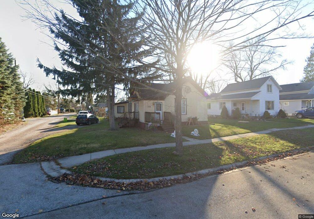
1710 Lyon St Port Huron, MI 48060
Estimated Value: $147,000 - $186,000
3
Beds
2
Baths
1,400
Sq Ft
$120/Sq Ft
Est. Value
About This Home
This home is located at 1710 Lyon St, Port Huron, MI 48060 and is currently estimated at $168,246, approximately $120 per square foot. 1710 Lyon St is a home located in St. Clair County with nearby schools including H.D. Crull Elementary School, Holland Woods Middle School, and Port Huron Northern High School.
Ownership History
Date
Name
Owned For
Owner Type
Purchase Details
Closed on
Jan 29, 2007
Sold by
Stanlake William G and Stanlake William
Bought by
Stanlake William and Stanlake Joan
Current Estimated Value
Home Financials for this Owner
Home Financials are based on the most recent Mortgage that was taken out on this home.
Original Mortgage
$70,500
Interest Rate
6.22%
Mortgage Type
New Conventional
Create a Home Valuation Report for This Property
The Home Valuation Report is an in-depth analysis detailing your home's value as well as a comparison with similar homes in the area
Home Values in the Area
Average Home Value in this Area
Purchase History
| Date | Buyer | Sale Price | Title Company |
|---|---|---|---|
| Stanlake William | -- | Crossroads Title |
Source: Public Records
Mortgage History
| Date | Status | Borrower | Loan Amount |
|---|---|---|---|
| Closed | Stanlake William | $70,500 |
Source: Public Records
Tax History Compared to Growth
Tax History
| Year | Tax Paid | Tax Assessment Tax Assessment Total Assessment is a certain percentage of the fair market value that is determined by local assessors to be the total taxable value of land and additions on the property. | Land | Improvement |
|---|---|---|---|---|
| 2025 | $1,637 | $72,700 | $0 | $0 |
| 2024 | $1,359 | $68,300 | $0 | $0 |
| 2023 | $1,284 | $60,500 | $0 | $0 |
| 2022 | $1,310 | $51,900 | $0 | $0 |
| 2021 | $1,244 | $48,100 | $0 | $0 |
| 2020 | $1,258 | $44,500 | $44,500 | $0 |
| 2019 | $1,236 | $30,500 | $0 | $0 |
| 2018 | $1,209 | $30,500 | $0 | $0 |
| 2017 | $1,080 | $28,600 | $0 | $0 |
| 2016 | $917 | $28,600 | $0 | $0 |
| 2015 | $900 | $25,800 | $25,800 | $0 |
| 2014 | $900 | $25,100 | $25,100 | $0 |
| 2013 | -- | $25,200 | $0 | $0 |
Source: Public Records
Map
Nearby Homes
- 1907 Riverside Dr
- 1733 Whipple St
- 1649 Whipple St
- 1819 Riverside Dr
- 1620 McBrady St
- 0000 Campau Ave
- 1433 Poplar St
- 2215 Hancock St
- 1417 Kearney St
- 29 Taylor St
- 2400 Stone St Unit 2414
- 2838 Elmwood St
- 2736 17th Ave
- 1116 Hancock St
- 1819 Kern St
- 1825 Kern St
- 2549 Riverwood Dr
- 2812 19th Ave
- 1321 Nelson St
- 2419 Cherry St
- 1714 Lyon St
- 1711 Mcpherson St
- 1704 Lyon St
- 1705 Mcpherson St
- 1718 Lyon St
- 1656 Lyon St
- 1655 Mcpherson St
- 1725 Mcpherson St
- 1724 Lyon St
- 1703 Mcpherson St
- 1707 Mcpherson St
- 1729 Mcpherson St Unit Bldg-Unit
- 1729 Mcpherson St
- 1713 Lyon St
- 1652 Lyon St
- 1730 Lyon St
- 1911 13th Ave
- 1657 Lyon St
- 1734 Lyon St
- 1806 Riverside Dr