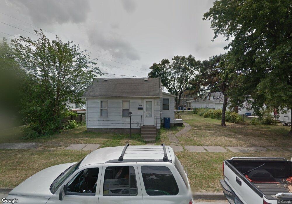
1710 Miles Ave Muscatine, IA 52761
Estimated Value: $49,000 - $87,000
1
Bed
1
Bath
590
Sq Ft
$113/Sq Ft
Est. Value
About This Home
This home is located at 1710 Miles Ave, Muscatine, IA 52761 and is currently estimated at $66,667, approximately $112 per square foot. 1710 Miles Ave is a home located in Muscatine County with nearby schools including Franklin Elementary School, Susan Clark Junior High School, and Muscatine High School.
Ownership History
Date
Name
Owned For
Owner Type
Purchase Details
Closed on
Mar 6, 2023
Sold by
Muscatine Plaza Properties Llc
Bought by
Pine Properties Llc
Current Estimated Value
Purchase Details
Closed on
Nov 13, 2017
Sold by
Keller Danny D and Keller Sherrie L
Bought by
Muscatine Plaza Properties Llc
Home Financials for this Owner
Home Financials are based on the most recent Mortgage that was taken out on this home.
Original Mortgage
$688,500
Interest Rate
3.85%
Mortgage Type
Future Advance Clause Open End Mortgage
Create a Home Valuation Report for This Property
The Home Valuation Report is an in-depth analysis detailing your home's value as well as a comparison with similar homes in the area
Home Values in the Area
Average Home Value in this Area
Purchase History
| Date | Buyer | Sale Price | Title Company |
|---|---|---|---|
| Pine Properties Llc | -- | -- | |
| Muscatine Plaza Properties Llc | $27,500 | None Available |
Source: Public Records
Mortgage History
| Date | Status | Borrower | Loan Amount |
|---|---|---|---|
| Previous Owner | Muscatine Plaza Properties Llc | $688,500 |
Source: Public Records
Tax History Compared to Growth
Tax History
| Year | Tax Paid | Tax Assessment Tax Assessment Total Assessment is a certain percentage of the fair market value that is determined by local assessors to be the total taxable value of land and additions on the property. | Land | Improvement |
|---|---|---|---|---|
| 2025 | $778 | $45,660 | $8,890 | $36,770 |
| 2024 | $778 | $42,950 | $8,890 | $34,060 |
| 2023 | $792 | $42,761 | $8,915 | $33,846 |
| 2022 | $718 | $39,370 | $8,410 | $30,960 |
| 2021 | $718 | $35,190 | $8,410 | $26,780 |
| 2020 | $672 | $31,970 | $7,210 | $24,760 |
| 2019 | $672 | $30,410 | $0 | $0 |
| 2018 | $662 | $30,410 | $0 | $0 |
| 2017 | $662 | $29,210 | $0 | $0 |
| 2016 | $530 | $23,430 | $0 | $0 |
| 2015 | $530 | $24,240 | $0 | $0 |
| 2014 | $552 | $24,240 | $0 | $0 |
Source: Public Records
Map
Nearby Homes
- 1708 Schley Ave
- 1908 Sampson St
- 1909 Wallace St
- 0 Towhead Island Unit 23-716
- 2108 Breese Ave
- 609 Liberty St
- LOTS 30-34 Evans St
- 111 Gilbert St
- LOT 5 Pine Ridge
- LOT 4 Pine Ridge
- LOT 6 Pine Ridge
- 1903 Hershey Ave
- 1827 Hershey Ave
- 900 W 3rd St
- 0 Parcel 1302108019 (Busch St)
- 701 W Mississippi Dr
- 1603 Lucas St
- 0 High Street Parcel
- 613 W 5th St
- 410 Spruce St
- 1714 Miles Ave
- 1503 Stewart Rd
- 1718 Miles Ave
- 1703 Demorest Ave
- 1715 Miles Ave
- 1717 Miles Ave
- 1711 Demorest Ave
- 1804 Miles Ave
- 1418 Nebraska St
- 1804 Miles Muscatine
- 1803 Demorest Ave
- 1808 Miles Ave
- 1417 Oregon St
- 1803 Miles Ave
- 1412 Nebraska St
- 1807 Demorest Ave
- 1810 Miles Ave
- 1415 Oregon St
- 1809 Demorest Ave
- 1408 Nebraska St