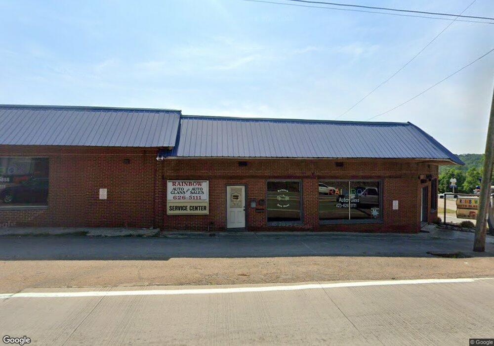
1710 N Broad St Tazewell, TN 37879
--
Bed
--
Bath
3,744
Sq Ft
436
Sq Ft Lot
About This Home
This home is located at 1710 N Broad St, Tazewell, TN 37879. 1710 N Broad St is a home located in Claiborne County.
Ownership History
Date
Name
Owned For
Owner Type
Purchase Details
Closed on
Aug 15, 2019
Sold by
Nichols Brennen and Nichols Angela
Bought by
Jones Angela R
Home Financials for this Owner
Home Financials are based on the most recent Mortgage that was taken out on this home.
Original Mortgage
$86,248
Outstanding Balance
$66,373
Interest Rate
3.7%
Mortgage Type
Future Advance Clause Open End Mortgage
Purchase Details
Closed on
Sep 24, 2008
Sold by
Dalton Erica
Bought by
Nichols Brennen
Purchase Details
Closed on
May 16, 1991
Bought by
Dalton Donnie and Dalton Erica
Purchase Details
Closed on
Dec 11, 1990
Bought by
Coker Robert and Coker Wanda
Purchase Details
Closed on
Dec 10, 1990
Bought by
Coker Robert and Coker Wanda
Purchase Details
Closed on
Jan 1, 1967
Bought by
Overton Clarence and Overton Nell
Create a Home Valuation Report for This Property
The Home Valuation Report is an in-depth analysis detailing your home's value as well as a comparison with similar homes in the area
Home Values in the Area
Average Home Value in this Area
Purchase History
| Date | Buyer | Sale Price | Title Company |
|---|---|---|---|
| Jones Angela R | $87,500 | Southeast Title & Escrow Llc | |
| Nichols Brennen | $50,000 | -- | |
| Dalton Donnie | $38,000 | -- | |
| Coker Robert | -- | -- | |
| Coker Robert | -- | -- | |
| Overton Clarence | -- | -- |
Source: Public Records
Mortgage History
| Date | Status | Borrower | Loan Amount |
|---|---|---|---|
| Open | Jones Angela R | $86,248 |
Source: Public Records
Tax History Compared to Growth
Tax History
| Year | Tax Paid | Tax Assessment Tax Assessment Total Assessment is a certain percentage of the fair market value that is determined by local assessors to be the total taxable value of land and additions on the property. | Land | Improvement |
|---|---|---|---|---|
| 2024 | $874 | $37,360 | $14,360 | $23,000 |
| 2023 | $874 | $37,360 | $14,360 | $23,000 |
| 2022 | $747 | $37,360 | $14,360 | $23,000 |
| 2021 | $845 | $32,800 | $12,920 | $19,880 |
| 2020 | $845 | $32,800 | $12,920 | $19,880 |
| 2019 | $454 | $32,800 | $12,920 | $19,880 |
| 2018 | $454 | $17,600 | $6,200 | $11,400 |
| 2017 | $454 | $17,600 | $6,200 | $11,400 |
| 2016 | $409 | $15,840 | $6,160 | $9,680 |
| 2015 | $393 | $15,840 | $6,160 | $9,680 |
| 2014 | $393 | $15,828 | $0 | $0 |
Source: Public Records
Map
Nearby Homes
- 0 Longshore Dr Unit 1235182
- 307 Old Kentucky Rd
- 1702 Haynes St
- 498 Miley Dr
- 290 Highway 25e S
- 308 Mimosa St
- 1404 Tazewell Rd
- 1612 Stone St
- 1315 Eugene St
- 0 Fulkerson St
- 1356 Old Highway 25e
- 1934 Ball St
- 0 Windward Blvd Unit 1311003
- 0 Windward Blvd Unit 1306996
- 323 Wilson Hurst St
- 595 Highway 25e S
- 326 Wilson Hurst St
- 1719 Boone Cir
- 1828 Cherokee Cir
- 404 Cedar Fork Rd
- 0 Hwy 33 S Unit 724716
- 0 Hwy 33 S Unit 740604
- 0 Hwy 33 S Unit 1028907
- 1718 N Broad St
- 1737 N Broad St
- 1731 N Broad St
- 0 Spring St Unit 1131199
- 0 Back St
- 1632 Kivett Dr
- 1705 Main St
- 56 Old Kentucky Rd
- 1702 Main St
- 1751 N Broad St
- 3286 Tazewell Rd
- 224 Us Hwy 25e-Scenic
- 1705 Eppes St
- 1719 Main St
- 1702 Eppes St
- 1723 Main St
- 210 Hardin St
