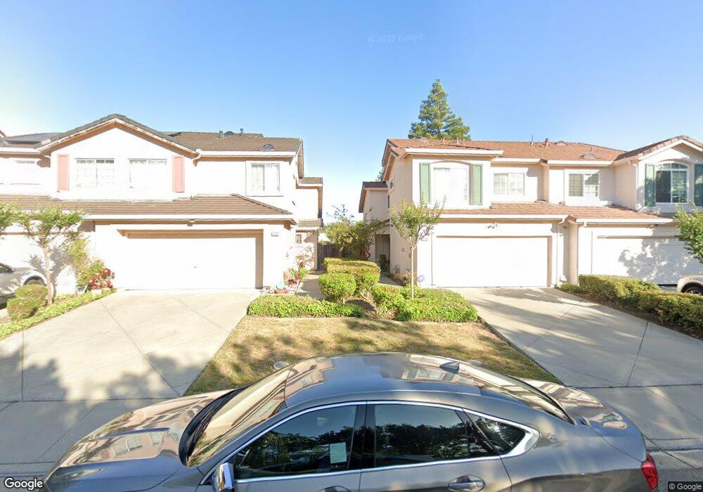
1710 Nandina Way Antioch, CA 94531
Lone Tree Valley NeighborhoodEstimated Value: $500,000 - $524,000
3
Beds
3
Baths
1,267
Sq Ft
$404/Sq Ft
Est. Value
About This Home
This home is located at 1710 Nandina Way, Antioch, CA 94531 and is currently estimated at $511,473, approximately $403 per square foot. 1710 Nandina Way is a home located in Contra Costa County with nearby schools including Lone Tree Elementary School, Dallas Ranch Middle School, and Deer Valley High School.
Ownership History
Date
Name
Owned For
Owner Type
Purchase Details
Closed on
Sep 29, 2016
Sold by
Redd Sandra L and Mcqueen Sandra L Redd
Bought by
Redd Sandra L
Current Estimated Value
Purchase Details
Closed on
Sep 16, 1998
Sold by
Davidon Homes
Bought by
Mcqueen Sandra L Redd
Home Financials for this Owner
Home Financials are based on the most recent Mortgage that was taken out on this home.
Original Mortgage
$139,622
Outstanding Balance
$29,799
Interest Rate
6.89%
Mortgage Type
FHA
Estimated Equity
$481,674
Create a Home Valuation Report for This Property
The Home Valuation Report is an in-depth analysis detailing your home's value as well as a comparison with similar homes in the area
Home Values in the Area
Average Home Value in this Area
Purchase History
| Date | Buyer | Sale Price | Title Company |
|---|---|---|---|
| Redd Sandra L | -- | None Available | |
| Mcqueen Sandra L Redd | $142,000 | First American Title Guarant |
Source: Public Records
Mortgage History
| Date | Status | Borrower | Loan Amount |
|---|---|---|---|
| Open | Mcqueen Sandra L Redd | $139,622 |
Source: Public Records
Tax History Compared to Growth
Tax History
| Year | Tax Paid | Tax Assessment Tax Assessment Total Assessment is a certain percentage of the fair market value that is determined by local assessors to be the total taxable value of land and additions on the property. | Land | Improvement |
|---|---|---|---|---|
| 2025 | $2,967 | $234,716 | $72,101 | $162,615 |
| 2024 | $2,858 | $230,115 | $70,688 | $159,427 |
| 2023 | $2,858 | $225,603 | $69,302 | $156,301 |
| 2022 | $2,817 | $221,181 | $67,944 | $153,237 |
| 2021 | $2,731 | $216,845 | $66,612 | $150,233 |
| 2019 | $2,655 | $210,415 | $64,637 | $145,778 |
| 2018 | $2,555 | $206,290 | $63,370 | $142,920 |
| 2017 | $2,497 | $202,246 | $62,128 | $140,118 |
| 2016 | $2,425 | $198,281 | $60,910 | $137,371 |
| 2015 | $2,543 | $195,304 | $59,996 | $135,308 |
| 2014 | $2,665 | $180,500 | $55,448 | $125,052 |
Source: Public Records
Map
Nearby Homes
- 5048 Tehachapi Way
- 1525 Barkley Mountain Way
- 4864 Belford Peak Way
- 4913 Stonewood Way
- 4836 Belford Peak Way
- 2101 Asilomar Dr
- 2017 Asilomar Dr
- 2508 Larch Way
- 4528 Fallow Way
- 2003 Barkwood Ct
- 5002 Hollow Ridge Ct
- 4800 Snowmass Peak Ct
- 4064 Montgomery Hill Dr
- 4529 Pronghorn Way
- 2117 Mark Twain Dr
- 4522 Rock Island Dr
- 4729 Matterhorn Ct
- 1153 Stonecrest Dr
- 2201 Mark Twain Dr
- 2205 Mark Twain Dr
- 1708 Nandina Way
- 1712 Nandina Way
- 1714 Nandina Way
- 1706 Nandina Way
- 1704 Nandina Way
- 1716 Nandina Way
- 1718 Nandina Way
- 1701 Periwinkle Way
- 1702 Nandina Way
- 1706 Crater Peak Way
- 1720 Nandina Ct
- 1700 Nandina Way
- 1703 Periwinkle Way
- 1708 Crater Peak Way
- 1722 Nandina Ct
- 1705 Periwinkle Way
- 1710 Crater Peak Way
- 1701 Crater Peak Way
- 1724 Nandina Ct
- 1707 Periwinkle Way