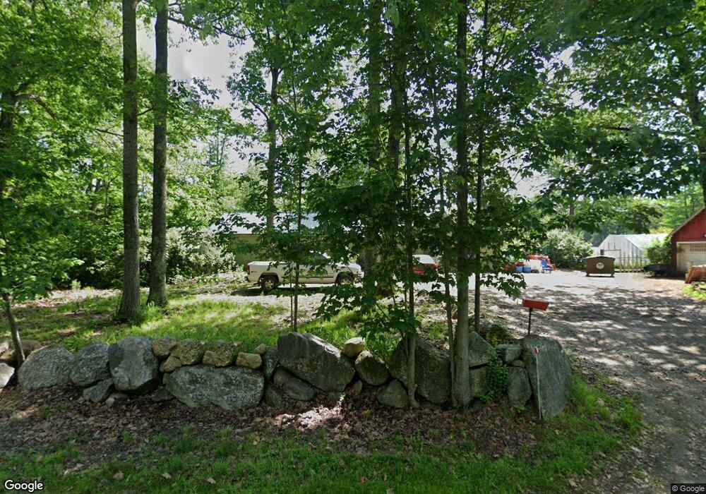
1710 Route 114 Bradford, NH 03221
Estimated Value: $346,174 - $430,000
2
Beds
1
Bath
1,040
Sq Ft
$377/Sq Ft
Est. Value
About This Home
This home is located at 1710 Route 114, Bradford, NH 03221 and is currently estimated at $392,044, approximately $376 per square foot. 1710 Route 114 is a home with nearby schools including Sutton Central Elementary School, Kearsarge Regional Middle School, and Kearsarge Regional High School.
Ownership History
Date
Name
Owned For
Owner Type
Purchase Details
Closed on
Apr 9, 2012
Sold by
Allen Crystal
Bought by
Allen Crystal and Baluk Kurt S
Current Estimated Value
Purchase Details
Closed on
Nov 29, 2010
Sold by
Hazel M Streeter Ret and Thompson
Bought by
Johnson Suzanne and Johnson Jeffrey
Home Financials for this Owner
Home Financials are based on the most recent Mortgage that was taken out on this home.
Original Mortgage
$144,900
Interest Rate
4.25%
Mortgage Type
Purchase Money Mortgage
Create a Home Valuation Report for This Property
The Home Valuation Report is an in-depth analysis detailing your home's value as well as a comparison with similar homes in the area
Home Values in the Area
Average Home Value in this Area
Purchase History
| Date | Buyer | Sale Price | Title Company |
|---|---|---|---|
| Allen Crystal | -- | -- | |
| Allen Crystal | -- | -- | |
| Johnson Suzanne | $140,000 | -- | |
| Johnson Suzanne | $140,000 | -- |
Source: Public Records
Mortgage History
| Date | Status | Borrower | Loan Amount |
|---|---|---|---|
| Previous Owner | Johnson Suzanne | $144,900 |
Source: Public Records
Tax History Compared to Growth
Tax History
| Year | Tax Paid | Tax Assessment Tax Assessment Total Assessment is a certain percentage of the fair market value that is determined by local assessors to be the total taxable value of land and additions on the property. | Land | Improvement |
|---|---|---|---|---|
| 2024 | $4,821 | $178,968 | $84,948 | $94,020 |
| 2023 | $4,540 | $178,971 | $84,951 | $94,020 |
| 2022 | $3,898 | $161,361 | $85,011 | $76,350 |
| 2021 | $3,901 | $161,465 | $85,115 | $76,350 |
| 2020 | $4,015 | $161,452 | $85,102 | $76,350 |
| 2019 | $3,923 | $130,366 | $58,036 | $72,330 |
| 2016 | $3,516 | $130,322 | $57,992 | $72,330 |
| 2015 | $3,352 | $124,240 | $57,990 | $66,250 |
| 2014 | $3,264 | $134,930 | $61,040 | $73,890 |
| 2012 | $2,915 | $135,140 | $61,250 | $73,890 |
Source: Public Records
Map
Nearby Homes
- 555 Shaker Rd
- 00 Mountainside Dr Unit 183
- 0 Fairway Ln Unit 8
- 155 Wilder Ln
- 295 Andover Rd
- 0 Summit Rd Unit 431
- 158 Quail Run
- 000 Shaker Rd Unit 288
- 0 Pound Rd N Unit 28
- 24 Mountain Overlook
- Lot 2 Laurel Ln
- 0 Roby Unit 5036005
- 53 Elkins Rd
- 0 Howe Rd Unit 4996459
- 58 Kearsarge Rd
- 0 Quiet Cove Way Unit 5
- 27 Pipers Glen
- Map5lot729-028
- 916 New Hampshire 114
- 312 North Rd
- 1710 Route 114
- 1606 Route 114
- 1941 Route 114 Rd
- 1941 Sutton Rd
- 1722 Route 114
- 1726 New Hampshire 114
- 1008 Route 114
- 1916 Route 114
- 1957 Sutton Rd
- 1726 Route 114
- 1733 Route 114
- 1733 Route 114
- 1743 Sutton Rd
- 1678 Route 114
- 1736 Route 114
- 1673 Route 114
- Lot Old Mill
- 17 & 22 Chalk Pond Rd
- 1672 Route 114
- 1743 Route 114