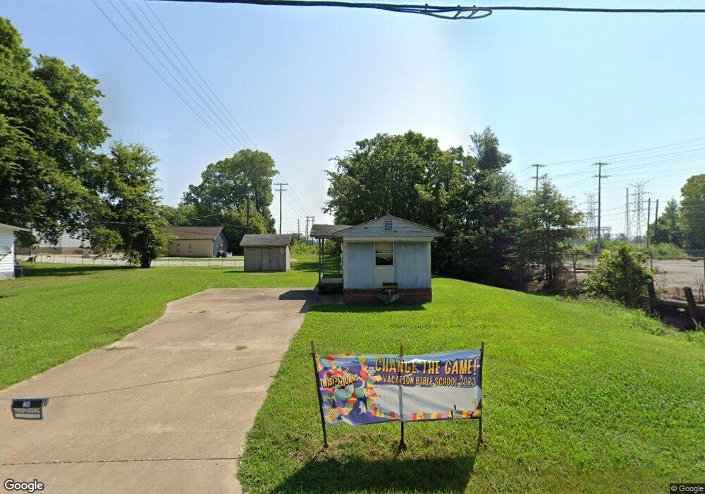
1710 S College St Covington, TN 38019
Estimated Value: $68,406 - $184,000
--
Bed
--
Bath
--
Sq Ft
0.29
Acres
About This Home
This home is located at 1710 S College St, Covington, TN 38019 and is currently estimated at $108,852. 1710 S College St is a home with nearby schools including Crestview Elementary School, Crestview Middle School, and Covington High School.
Ownership History
Date
Name
Owned For
Owner Type
Purchase Details
Closed on
Aug 30, 2024
Sold by
Gaines Camyah L
Bought by
Gaines Walter Lee
Current Estimated Value
Purchase Details
Closed on
Feb 20, 2024
Sold by
Gaines Walter Lee
Bought by
Gaines Camyah L
Purchase Details
Closed on
Aug 22, 2019
Sold by
Hamer Brandon L
Bought by
Gaines Walter L
Purchase Details
Closed on
Jul 17, 1984
Bought by
Davis Teresa
Purchase Details
Closed on
Feb 18, 1971
Purchase Details
Closed on
Jul 23, 1959
Create a Home Valuation Report for This Property
The Home Valuation Report is an in-depth analysis detailing your home's value as well as a comparison with similar homes in the area
Home Values in the Area
Average Home Value in this Area
Purchase History
| Date | Buyer | Sale Price | Title Company |
|---|---|---|---|
| Gaines Walter Lee | -- | None Listed On Document | |
| Gaines Walter Lee | -- | None Listed On Document | |
| Gaines Camyah L | -- | None Listed On Document | |
| Gaines Walter L | $6,350 | -- | |
| Davis Teresa | -- | -- | |
| -- | -- | -- | |
| -- | -- | -- |
Source: Public Records
Tax History Compared to Growth
Tax History
| Year | Tax Paid | Tax Assessment Tax Assessment Total Assessment is a certain percentage of the fair market value that is determined by local assessors to be the total taxable value of land and additions on the property. | Land | Improvement |
|---|---|---|---|---|
| 2024 | $85 | $3,325 | $3,275 | $50 |
| 2023 | $85 | $3,325 | $3,275 | $50 |
| 2022 | $79 | $2,425 | $2,400 | $25 |
| 2021 | $80 | $2,425 | $2,400 | $25 |
| 2020 | $79 | $2,425 | $2,400 | $25 |
| 2019 | $81 | $2,150 | $2,125 | $25 |
| 2018 | $81 | $2,150 | $2,125 | $25 |
| 2017 | $81 | $2,150 | $2,125 | $25 |
| 2016 | $81 | $2,150 | $2,125 | $25 |
| 2015 | $81 | $2,150 | $2,125 | $25 |
| 2014 | $81 | $2,160 | $0 | $0 |
Source: Public Records
Map
Nearby Homes
- 1519 Walters St
- 502 James Ave
- 1469 S Main St
- 417 Lennanwood Ave
- 1329 Herring Dr
- 714 W Sherrod Ave
- 210 Kinney Ave
- 722 S Main St
- 600 W Sherrod Ave
- 715 S Maple St
- 0 Oil Mill Rd Unit 10206359
- 0 Hwy 179 Hwy Unit 10209247
- 0 Antioch Hwy 51 Rd Unit RTC2980495
- 0 Burnett Ln Unit RTC2939045
- 513 Garland Ave
- 624 Fyfe St
- 4501 Mueller Brass Rd Unit B
- 104 Russwood Dr
- 316 Sanford Ave
- 43 Hastings Way
- 1704 S College St
- 185 Mill Rd
- 161 Mill Rd
- 1732 S College St
- 434 Hyde Park Cir
- 245 Gillespie Dr
- 430 Hyde Park Cir
- 190 Mill Rd
- 428 Hyde Park Cir
- 429 Hyde Park Cir
- 1614 S College St
- 1613 Hyde Park Cir
- 426 Hyde Park Cir
- 411 Hyde Park Cir
- 231 Gillespie Dr
- 165 Mill Rd
- 424 Hyde Park Cir
- 1608 S College St
- 422 Hyde Park Cir
- 1607 S College St