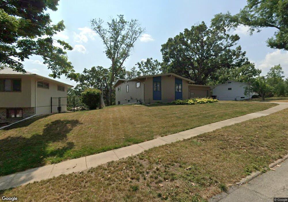
1710 Sherbrook Dr NE Cedar Rapids, IA 52402
Estimated Value: $203,000 - $264,000
4
Beds
4
Baths
1,434
Sq Ft
$169/Sq Ft
Est. Value
About This Home
This home is located at 1710 Sherbrook Dr NE, Cedar Rapids, IA 52402 and is currently estimated at $241,818, approximately $168 per square foot. 1710 Sherbrook Dr NE is a home located in Linn County with nearby schools including Pierce Elementary School, Franklin Middle School, and John F. Kennedy High School.
Ownership History
Date
Name
Owned For
Owner Type
Purchase Details
Closed on
Feb 28, 2020
Sold by
Hemesath John A and Hemesath Cynthia A
Bought by
Hemesath John A and Hemesath Cynthia A
Current Estimated Value
Purchase Details
Closed on
Aug 3, 2007
Sold by
Garwood Virgil L and Garwood Rita F
Bought by
Hemesath John A and Hemesath Cynthia A
Home Financials for this Owner
Home Financials are based on the most recent Mortgage that was taken out on this home.
Original Mortgage
$90,000
Outstanding Balance
$57,129
Interest Rate
6.71%
Mortgage Type
Unknown
Estimated Equity
$184,689
Create a Home Valuation Report for This Property
The Home Valuation Report is an in-depth analysis detailing your home's value as well as a comparison with similar homes in the area
Purchase History
| Date | Buyer | Sale Price | Title Company |
|---|---|---|---|
| Hemesath John A | -- | None Available | |
| Hemesath John A | $170,000 | None Available |
Source: Public Records
Mortgage History
| Date | Status | Borrower | Loan Amount |
|---|---|---|---|
| Open | Hemesath John A | $90,000 |
Source: Public Records
Tax History
| Year | Tax Paid | Tax Assessment Tax Assessment Total Assessment is a certain percentage of the fair market value that is determined by local assessors to be the total taxable value of land and additions on the property. | Land | Improvement |
|---|---|---|---|---|
| 2025 | $3,716 | $246,200 | $43,000 | $203,200 |
| 2024 | $4,010 | $238,600 | $37,600 | $201,000 |
| 2023 | $4,010 | $220,500 | $37,600 | $182,900 |
| 2022 | $401,000 | $199,000 | $34,000 | $165,000 |
| 2021 | $3,800 | $192,400 | $34,000 | $158,400 |
| 2020 | $3,976 | $188,800 | $28,700 | $160,100 |
| 2019 | $3,650 | $177,900 | $28,700 | $149,200 |
Source: Public Records
Map
Nearby Homes
- 3008 Circle Hill Ct NE
- 3015 Circle Hill Ct NE
- 2226 Sierra Cir NE
- 2202 Sierra Cir NE
- 2122 Sierra Cir NE
- 1718 Applewood Place NE
- 1759 Applewood Place NE
- 2116 Sierra Cir NE
- 1730 Pikes Peak Ct NE Unit G
- 1724 Pikes Peak Ct NE Unit C
- 2219 Sierra Cir NE
- 2110 Sierra Cir NE
- 2213 Sierra Cir NE
- 2207 Sierra Cir NE
- 2102 Sierra Cir NE
- 2201 Sierra Cir NE
- 2127 Sierra Cir NE
- 2121 Sierra Cir NE
- 2018 Sierra Cir NE
- 2115 Sierra Cir NE
- 1730 Sherbrook Dr NE
- 1700 Sherbrook Dr NE
- 1748 Sherbrook Dr NE
- 2032 Northgate Dr NE
- 1616 Sherbrook Dr NE
- 2036 Northgate Dr NE
- 1711 Sherbrook Dr NE
- 1723 Sherbrook Dr NE
- 1701 Sherbrook Dr NE
- 1764 Sherbrook Dr NE
- 2028 Northgate Dr NE
- 1731 Sherbrook Dr NE
- 2040 Northgate Dr NE
- 1625 Sherbrook Dr NE
- 1745 Sherbrook Dr NE
- 1770 Sherbrook Dr NE
- 1617 Sherbrook Dr NE
- 1751 Sherbrook Dr NE
- 2044 Northgate Dr NE
- 1716 Linmar Dr NE
Your Personal Tour Guide
Ask me questions while you tour the home.