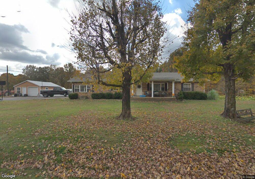
1710 Union Rd Dickson, TN 37055
Tennessee City NeighborhoodEstimated Value: $465,000 - $696,014
Studio
2
Baths
1,904
Sq Ft
$309/Sq Ft
Est. Value
About This Home
This home is located at 1710 Union Rd, Dickson, TN 37055 and is currently estimated at $588,504, approximately $309 per square foot. 1710 Union Rd is a home located in Dickson County with nearby schools including Vanleer Elementary School, Charlotte Middle School, and Creek Wood High School.
Ownership History
Date
Name
Owned For
Owner Type
Purchase Details
Closed on
Jul 22, 2004
Sold by
Rogers John F
Bought by
Howell W Scott
Current Estimated Value
Home Financials for this Owner
Home Financials are based on the most recent Mortgage that was taken out on this home.
Original Mortgage
$145,600
Outstanding Balance
$72,318
Interest Rate
6.24%
Estimated Equity
$516,186
Purchase Details
Closed on
Jul 19, 2004
Sold by
Rogers John F
Bought by
Adams Darryl S
Home Financials for this Owner
Home Financials are based on the most recent Mortgage that was taken out on this home.
Original Mortgage
$145,600
Outstanding Balance
$72,318
Interest Rate
6.24%
Estimated Equity
$516,186
Purchase Details
Closed on
Aug 16, 1985
Bought by
Rogers John F and Rogers Deborah A
Create a Home Valuation Report for This Property
The Home Valuation Report is an in-depth analysis detailing your home's value as well as a comparison with similar homes in the area
Home Values in the Area
Average Home Value in this Area
Purchase History
| Date | Buyer | Sale Price | Title Company |
|---|---|---|---|
| Howell W Scott | $182,000 | -- | |
| Adams Darryl S | $22,000 | -- | |
| Rogers John F | -- | -- |
Source: Public Records
Mortgage History
| Date | Status | Borrower | Loan Amount |
|---|---|---|---|
| Open | Rogers John F | $145,600 | |
| Closed | Rogers John F | $27,300 |
Source: Public Records
Tax History
| Year | Tax Paid | Tax Assessment Tax Assessment Total Assessment is a certain percentage of the fair market value that is determined by local assessors to be the total taxable value of land and additions on the property. | Land | Improvement |
|---|---|---|---|---|
| 2025 | $1,423 | $84,175 | $20,500 | $63,675 |
| 2024 | $1,423 | $84,175 | $20,500 | $63,675 |
| 2023 | $1,394 | $59,300 | $13,000 | $46,300 |
| 2022 | $1,394 | $59,300 | $13,000 | $46,300 |
| 2021 | $1,394 | $59,300 | $13,000 | $46,300 |
| 2020 | $1,394 | $59,300 | $13,000 | $46,300 |
| 2019 | $1,401 | $59,600 | $13,000 | $46,600 |
| 2018 | $1,149 | $42,550 | $9,750 | $32,800 |
| 2017 | $1,149 | $42,550 | $9,750 | $32,800 |
| 2016 | $1,149 | $42,550 | $9,750 | $32,800 |
| 2015 | $1,084 | $37,375 | $9,750 | $27,625 |
| 2014 | $1,084 | $37,375 | $9,750 | $27,625 |
Source: Public Records
Map
Nearby Homes
- 1652 Union Rd
- 694 Nels Adams Rd
- 746 Nels Adams Rd
- 0 Walnut Grove Rd Unit RTC2974771
- 185 Thompson Rd
- 2151 Maysville Rd
- 1651 Yellow Creek Rd
- 1651 Yellow Creek
- 0 Sylvia Rd Unit RTC3098486
- 0 Sylvia Rd Unit RTC3098156
- 0 Sylvia Rd Unit RTC3098487
- 0 Sylvia Rd Unit RTC3047451
- 0 Sylvia Rd Unit RTC3098485
- 0 Sylvia Rd Unit RTC3093560
- 0 Singleton Rd Unit RTC3131731
- 3205 Sylvia Rd
- 3791 Sylvia Rd
- 0 Polly Willey Rd
- 1318 Yellow Creek Rd
- 1049 Big Bartons Creek Rd
- 1699 Union Rd
- 1801 Union Road (5 40 Acres+ -!
- 1801 Union Rd
- 1815 Union Rd
- 1690 Union Rd
- 1685 Union Rd
- 1681 Union Rd
- 1701 Union Rd
- 1835 Union Rd
- 1829 Union Rd
- 1655 Union Rd
- 1845 Union Rd
- 1844 Union Rd
- 1656 Union Rd
- 2155 Fortner Rd
- 120 Short Rd
- 1612 Union Rd
- 126 Short Rd
- 150 Short Rd
- 605 Nels Adams Rd
Your Personal Tour Guide
Ask me questions while you tour the home.