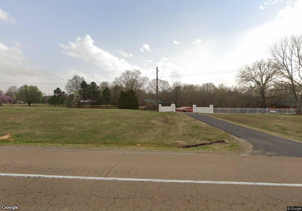
1710 Us Highway 412 E Beech Bluff, TN 38313
Estimated Value: $354,000 - $654,000
About This Home
This home is located at 1710 Us Highway 412 E, Beech Bluff, TN 38313 and is currently estimated at $524,908, approximately $132 per square foot. 1710 Us Highway 412 E is a home located in Madison County with nearby schools including Rose Hill Middle School and Liberty Technology Magnet High School.
Ownership History
We collect this data history from publicly available records. To have your information removed, we recommend requesting removal directly through your county’s website.
Purchase Details
Home Financials for this Owner
Home Financials are based on the most recent Mortgage that was taken out on this home.Purchase Details
Purchase Details
Purchase History
We collect this data history from publicly available records. To have your information removed, we recommend requesting removal directly through your county’s website.
| Date | Buyer | Sale Price | Title Company |
|---|---|---|---|
| $299,900 | -- | ||
| $50,000 | -- | ||
| $45,000 | -- |
Mortgage History
We collect this data history from publicly available records. To have your information removed, we recommend requesting removal directly through your county’s website.
| Date | Status | Borrower | Loan Amount |
|---|---|---|---|
| Open | $239,920 |
Tax History
We collect this data history from publicly available records. To have your information removed, we recommend requesting removal directly through your county’s website.
| Year | Tax Paid | Tax Assessment Tax Assessment Total Assessment is a certain percentage of the fair market value that is determined by local assessors to be the total taxable value of land and additions on the property. | Land | Improvement |
|---|---|---|---|---|
| 2025 | $1,844 | $98,425 | $10,350 | $88,075 |
| 2024 | $1,844 | $98,425 | $10,350 | $88,075 |
| 2022 | $1,844 | $98,425 | $10,350 | $88,075 |
| 2021 | $1,877 | $79,875 | $10,350 | $69,525 |
| 2020 | $1,877 | $79,875 | $10,350 | $69,525 |
| 2019 | $1,877 | $79,875 | $10,350 | $69,525 |
| 2018 | $1,877 | $79,875 | $10,350 | $69,525 |
| 2017 | $1,863 | $76,025 | $10,350 | $65,675 |
| 2016 | $1,635 | $76,025 | $10,350 | $65,675 |
| 2015 | $1,635 | $76,025 | $10,350 | $65,675 |
| 2014 | $1,635 | $76,025 | $10,350 | $65,675 |
Map
- 1014 Crawford Springs Rd
- 000 Independence Loop
- 741 Independence Loop
- 0 Fly Rd
- 0 Beech Bluff Rd
- 0 Independence Loop
- 296 Liberty Claybrook Rd
- 363 Lakewood Dr E
- 00 Lakewood Dr E
- 0 Dogwood Cir
- 1840 Blue Goose Rd
- 48 Southshore Dr
- 66 Northshore Dr
- 12 Northshore Dr
- 992 Greenway Rd
- 37 Springview Dr
- 23 Springview Dr
- 159 Channing Cove
- 47 Mill Dr
- 2950 Law Rd
- 1720 Us Highway 412 E
- 1710 Us Highway 412 E
- 124 Paradise Dr
- 1700 Us Highway 412 E
- 30 Paradise Dr
- 31 Primrose Cove
- 53 Paradise Dr
- 50 Paradise Dr
- 32 Primrose Cove
- 47 Primrose Cove
- 48 Primrose Cove
- 35 Prairie Ln
- 1701 Us Highway 412 E
- 49 Prairie Ln
- 73 Primrose Cove
- 28 Prairie Ln
- 76 Primrose Cove
- 412 U S 412
- 1682 Us Highway 412 E
- 1682 Us Highway 412 E
Ask me questions while you tour the home.