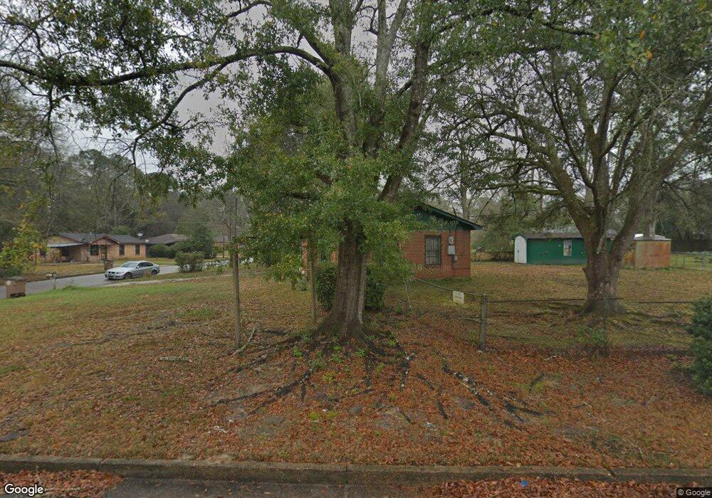
1711 E Harbor Dr Mobile, AL 36605
Navco NeighborhoodEstimated Value: $76,748 - $112,000
3
Beds
1
Bath
1,003
Sq Ft
$93/Sq Ft
Est. Value
About This Home
This home is located at 1711 E Harbor Dr, Mobile, AL 36605 and is currently estimated at $93,187, approximately $92 per square foot. 1711 E Harbor Dr is a home located in Mobile County with nearby schools including Morningside Elementary School, Williamson High School, and St. Dominic Catholic School.
Ownership History
Date
Name
Owned For
Owner Type
Purchase Details
Closed on
May 27, 1998
Sold by
Hud
Bought by
Kennedy Willie V
Current Estimated Value
Home Financials for this Owner
Home Financials are based on the most recent Mortgage that was taken out on this home.
Original Mortgage
$37,833
Outstanding Balance
$7,001
Interest Rate
7.15%
Mortgage Type
FHA
Estimated Equity
$86,186
Purchase Details
Closed on
Oct 28, 1997
Sold by
Joseph Limoges Glenn and Joseph Jean Bobby
Bought by
Southtrust Mtg Corp
Create a Home Valuation Report for This Property
The Home Valuation Report is an in-depth analysis detailing your home's value as well as a comparison with similar homes in the area
Home Values in the Area
Average Home Value in this Area
Purchase History
| Date | Buyer | Sale Price | Title Company |
|---|---|---|---|
| Kennedy Willie V | -- | -- | |
| Southtrust Mtg Corp | $37,995 | -- |
Source: Public Records
Mortgage History
| Date | Status | Borrower | Loan Amount |
|---|---|---|---|
| Open | Kennedy Willie V | $37,833 |
Source: Public Records
Tax History
| Year | Tax Paid | Tax Assessment Tax Assessment Total Assessment is a certain percentage of the fair market value that is determined by local assessors to be the total taxable value of land and additions on the property. | Land | Improvement |
|---|---|---|---|---|
| 2025 | $245 | $4,760 | $800 | $3,960 |
| 2024 | $245 | $5,120 | $900 | $4,220 |
| 2023 | $268 | $4,900 | $900 | $4,000 |
| 2022 | $230 | $4,680 | $900 | $3,780 |
| 2021 | $230 | $4,680 | $900 | $3,780 |
| 2020 | $230 | $4,680 | $900 | $3,780 |
| 2019 | $238 | $4,800 | $0 | $0 |
| 2018 | $292 | $5,660 | $0 | $0 |
| 2017 | $292 | $5,660 | $0 | $0 |
| 2016 | $304 | $5,840 | $0 | $0 |
| 2013 | $322 | $6,000 | $0 | $0 |
Source: Public Records
Map
Nearby Homes
- 1607 E Faure Dr
- 1705 Navco Rd
- 1400 Darwood Dr
- 3150 Lees Ln
- 0 Lees Ln Unit 7723843
- 1055 Grand Heron Ct W
- 1500 Navco Rd
- 0 Venice Ct
- 4171 Heron Lakes Dr
- 2113 Old Military Rd
- 4199 Heron Lakes Dr
- 0 Rosie's Rd Unit 5 373971
- 0 Rosie's Rd Unit 2
- 2450 Odette Ave
- 2450 Odette Ave Unit 19 & 20
- 3651 Government Blvd
- 4220 Spring Valley Dr S
- 301 Riverbend Dr
- 222 Riverbend Dr
- 221 Riverbend Dr Unit 221
- 2671 Atoll Dr
- 1708 Harbor Dr E
- 1713 E Harbor Dr
- 1710 Harbor Dr E
- 1712 Harbor Dr E
- 1700 Alee Dr
- 1704 Alee Dr
- 1715 E Harbor Dr
- 2672 Atoll Dr
- 1714 Harbor Dr E
- 1706 Alee Dr
- 2670 Atoll Dr
- 1717 E Harbor Dr
- 1716 Harbor Dr E
- 1708 Alee Dr
- 2668 Atoll Dr
- 1701 Alee Dr
- 1705 Alee Dr
- 2666 Atoll Dr
- 1719 E Harbor Dr
Your Personal Tour Guide
Ask me questions while you tour the home.