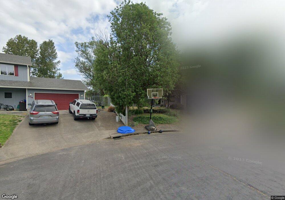
1711 Foxtail Cir Woodland, WA 98674
Estimated Value: $473,693 - $615,000
4
Beds
3
Baths
2,016
Sq Ft
$273/Sq Ft
Est. Value
About This Home
This home is located at 1711 Foxtail Cir, Woodland, WA 98674 and is currently estimated at $549,673, approximately $272 per square foot. 1711 Foxtail Cir is a home located in Cowlitz County with nearby schools including Woodland High School.
Ownership History
Date
Name
Owned For
Owner Type
Purchase Details
Closed on
Aug 9, 2016
Sold by
Brown Michael J
Bought by
Doughty Andrew S and Skogan Nina M
Current Estimated Value
Home Financials for this Owner
Home Financials are based on the most recent Mortgage that was taken out on this home.
Original Mortgage
$248,338
Outstanding Balance
$199,853
Interest Rate
3.75%
Mortgage Type
FHA
Estimated Equity
$349,820
Purchase Details
Closed on
Jun 17, 2009
Sold by
Brown Michael J and Brown Gaylene B
Bought by
Brown Michael J
Home Financials for this Owner
Home Financials are based on the most recent Mortgage that was taken out on this home.
Original Mortgage
$167,500
Interest Rate
4.83%
Mortgage Type
New Conventional
Purchase Details
Closed on
Dec 27, 2005
Sold by
Brown Michael J
Bought by
Brown Michael J and Brown Gaylene B
Create a Home Valuation Report for This Property
The Home Valuation Report is an in-depth analysis detailing your home's value as well as a comparison with similar homes in the area
Home Values in the Area
Average Home Value in this Area
Purchase History
| Date | Buyer | Sale Price | Title Company |
|---|---|---|---|
| Doughty Andrew S | $254,000 | Stewart Title Cowlitz County | |
| Brown Michael J | -- | Cascade | |
| Brown Michael J | -- | None Available |
Source: Public Records
Mortgage History
| Date | Status | Borrower | Loan Amount |
|---|---|---|---|
| Open | Doughty Andrew S | $248,338 | |
| Previous Owner | Brown Michael J | $167,500 |
Source: Public Records
Tax History Compared to Growth
Tax History
| Year | Tax Paid | Tax Assessment Tax Assessment Total Assessment is a certain percentage of the fair market value that is determined by local assessors to be the total taxable value of land and additions on the property. | Land | Improvement |
|---|---|---|---|---|
| 2024 | $3,818 | $387,980 | $60,610 | $327,370 |
| 2023 | $3,598 | $378,970 | $60,610 | $318,360 |
| 2022 | $3,308 | $362,050 | $60,610 | $301,440 |
| 2021 | $3,242 | $313,370 | $55,100 | $258,270 |
| 2020 | $2,891 | $284,980 | $55,080 | $229,900 |
| 2019 | $2,485 | $249,909 | $55,080 | $194,829 |
| 2018 | $2,586 | $247,980 | $55,080 | $192,900 |
| 2017 | $2,179 | $222,340 | $55,080 | $167,260 |
| 2016 | $2,015 | $193,820 | $51,000 | $142,820 |
| 2015 | $2,035 | $176,110 | $51,000 | $125,110 |
| 2013 | -- | $154,640 | $45,790 | $108,850 |
Source: Public Records
Map
Nearby Homes
- 1776 Clover Ln
- 1850 Heartwood Dr
- 1786 Clatsop St
- 9565 Old Pacific Hwy
- 336 York St
- 1986 Meadowood Loop
- 284 Gun Club Rd
- 2009 Lewis River Rd Unit 17
- 4130 Green Mountain Rd
- 369 Gun Club Rd Unit 48
- 369 Gun Club Rd Unit 101
- 369 Gun Club Rd Unit 70
- 369 Gun Club Rd Unit 53
- 369 Gun Club Rd Unit 117
- 369 Gun Club Rd Unit 114
- 2142 Lewis River Rd
- 605 Gun Club Rd
- 2216 Statesman Dr Unit Lot 46
- 2210 Statesman Dr Unit 44
- 2220 Statesman Dr Unit Lot 47
- 1717 Foxtail Cir
- 1716 Foxtail Cir
- 1721 Foxtail Cir
- 1728 Foxtail Cir
- 1736 Foxtail Cir
- 1725 Foxtail Cir
- 265 Hillshire Dr
- 1742 Foxtail Cir
- 275 Hillshire Dr
- 1729 Foxtail Cir
- 1748 Foxtail Cir
- 1733 Foxtail Cir
- 1743 Foxtail Cir
- 1737 Foxtail Cir
- 252 Hillshire Dr
- 262 Hillshire Dr
- 242 Hillshire Dr
- 272 Hillshire Dr
- 1747 Foxtail Cir
- 232 Hillshire Dr