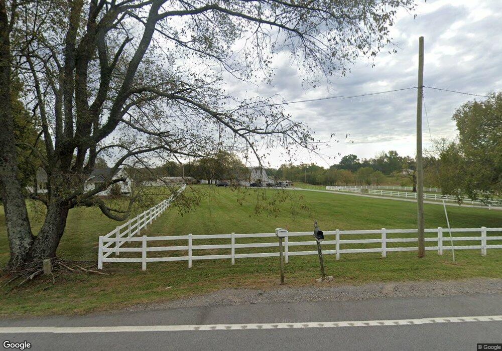
1711 Highway 130 W Shelbyville, TN 37160
Estimated Value: $326,000 - $379,000
3
Beds
2
Baths
1,200
Sq Ft
$291/Sq Ft
Est. Value
About This Home
This home is located at 1711 Highway 130 W, Shelbyville, TN 37160 and is currently estimated at $349,627, approximately $291 per square foot. 1711 Highway 130 W is a home located in Bedford County with nearby schools including Liberty Elementary School.
Ownership History
Date
Name
Owned For
Owner Type
Purchase Details
Closed on
Feb 20, 2020
Sold by
Barnard Matthew Aaron
Bought by
Barnard Matthew Aaron and Barnard Allyson
Current Estimated Value
Purchase Details
Closed on
Mar 21, 2014
Sold by
Johnson Jeannene
Bought by
Barnard Matthew Arron
Home Financials for this Owner
Home Financials are based on the most recent Mortgage that was taken out on this home.
Original Mortgage
$84,390
Outstanding Balance
$63,825
Interest Rate
4.36%
Mortgage Type
New Conventional
Estimated Equity
$285,802
Purchase Details
Closed on
Mar 21, 2007
Sold by
Mclaughlin Larry
Bought by
North E Max
Purchase Details
Closed on
Aug 14, 2003
Sold by
Timmons Gorden and Timmons Patricia
Bought by
Mclaughlin Larry
Create a Home Valuation Report for This Property
The Home Valuation Report is an in-depth analysis detailing your home's value as well as a comparison with similar homes in the area
Home Values in the Area
Average Home Value in this Area
Purchase History
| Date | Buyer | Sale Price | Title Company |
|---|---|---|---|
| Barnard Matthew Aaron | -- | None Available | |
| Barnard Matthew Arron | $87,000 | -- | |
| North E Max | $240,000 | -- | |
| Mclaughlin Larry | $305,000 | -- |
Source: Public Records
Mortgage History
| Date | Status | Borrower | Loan Amount |
|---|---|---|---|
| Open | Barnard Matthew Arron | $84,390 |
Source: Public Records
Tax History Compared to Growth
Tax History
| Year | Tax Paid | Tax Assessment Tax Assessment Total Assessment is a certain percentage of the fair market value that is determined by local assessors to be the total taxable value of land and additions on the property. | Land | Improvement |
|---|---|---|---|---|
| 2025 | $1,133 | $48,725 | $0 | $0 |
| 2024 | $1,133 | $48,725 | $14,775 | $33,950 |
| 2023 | $1,133 | $48,725 | $14,775 | $33,950 |
| 2022 | $1,133 | $48,725 | $14,775 | $33,950 |
| 2021 | $958 | $48,725 | $14,775 | $33,950 |
| 2020 | $912 | $48,725 | $14,775 | $33,950 |
| 2019 | $912 | $34,275 | $9,650 | $24,625 |
| 2018 | $877 | $34,275 | $9,650 | $24,625 |
| 2017 | $877 | $34,275 | $9,650 | $24,625 |
| 2016 | $864 | $34,275 | $9,650 | $24,625 |
| 2015 | $864 | $34,275 | $9,650 | $24,625 |
| 2014 | $731 | $32,182 | $0 | $0 |
Source: Public Records
Map
Nearby Homes
- 1617 Highway 130 W
- 0 Adams Hollow Rd
- 8 Farris Ln
- 0 Knight Campground Rd
- 3 Knight Campground Rd
- 7 Dixon Rd
- 12 Dixon Rd
- 321 Dixon Rd
- 0 Dixon Rd Unit RTC3045417
- 2131 Highway 130 W
- 422 Bethlehem Church Rd
- 1261 Highway 130 W
- 384 Adams Rd
- 392 Adams Rd
- 0 Highway 130 W
- 1106 Highway 130 W
- 160 Sinking Creek Rd
- 395 Harrison Rd
- 388 Coble Rd
- 2403 Highway 130 W
- 1705 Highway 130 W
- 1705 Highway 130 W
- 1701 Highway 130 W
- 1701 Tennessee 130
- 1708 Highway 130 W
- 1805 Highway 130 W
- 1805 Tennessee 130
- 1605 Highway 130 W
- 1807 Highway 130 W
- 1807 Highway 130 W
- 132 Sandusky Rd
- 108 Knight Campground Rd
- 1709 Highway 130 W
- 1709 Highway 130 W
- 1709 Highway 130 W
- 1606 Highway 130 W
- 1809 Highway 130 W
- 107 Knight Campground Rd
- 206 Sandusky Rd
- 1815 Highway 130 W