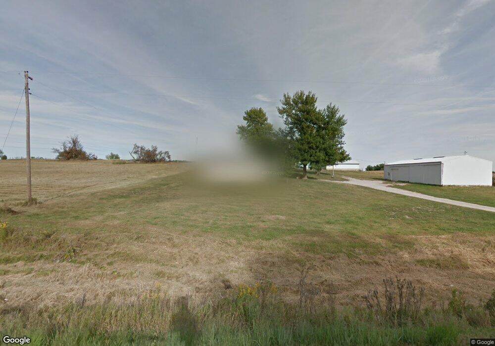
1711 N Mulberry Rd Muscatine, IA 52761
Estimated Value: $260,248 - $385,000
3
Beds
2
Baths
1,008
Sq Ft
$307/Sq Ft
Est. Value
About This Home
This home is located at 1711 N Mulberry Rd, Muscatine, IA 52761 and is currently estimated at $309,812, approximately $307 per square foot. 1711 N Mulberry Rd is a home located in Muscatine County with nearby schools including Mulberry Elementary School, Susan Clark Junior High School, and Muscatine High School.
Ownership History
Date
Name
Owned For
Owner Type
Purchase Details
Closed on
Apr 3, 2017
Sold by
Mcconnaha Douglas G
Bought by
Hora Kenny L
Current Estimated Value
Home Financials for this Owner
Home Financials are based on the most recent Mortgage that was taken out on this home.
Original Mortgage
$176,000
Outstanding Balance
$146,015
Interest Rate
4.1%
Mortgage Type
New Conventional
Estimated Equity
$163,797
Create a Home Valuation Report for This Property
The Home Valuation Report is an in-depth analysis detailing your home's value as well as a comparison with similar homes in the area
Home Values in the Area
Average Home Value in this Area
Purchase History
| Date | Buyer | Sale Price | Title Company |
|---|---|---|---|
| Hora Kenny L | $220,000 | None Available |
Source: Public Records
Mortgage History
| Date | Status | Borrower | Loan Amount |
|---|---|---|---|
| Open | Hora Kenny L | $176,000 |
Source: Public Records
Tax History Compared to Growth
Tax History
| Year | Tax Paid | Tax Assessment Tax Assessment Total Assessment is a certain percentage of the fair market value that is determined by local assessors to be the total taxable value of land and additions on the property. | Land | Improvement |
|---|---|---|---|---|
| 2025 | $2,192 | $316,080 | $69,960 | $246,120 |
| 2024 | $2,192 | $191,450 | $67,610 | $123,840 |
| 2023 | $2,142 | $194,097 | $70,872 | $123,225 |
| 2022 | $2,630 | $175,380 | $66,860 | $108,520 |
| 2021 | $2,630 | $200,980 | $107,000 | $93,980 |
| 2020 | $2,514 | $184,000 | $91,000 | $93,000 |
| 2019 | $2,594 | $179,020 | $0 | $0 |
| 2018 | $2,156 | $154,790 | $0 | $0 |
| 2017 | $2,156 | $152,440 | $0 | $0 |
| 2016 | $2,362 | $152,440 | $0 | $0 |
| 2015 | $2,362 | $149,180 | $0 | $0 |
| 2014 | $2,332 | $147,770 | $0 | $0 |
Source: Public Records
Map
Nearby Homes
- 2442 Prairie Rose Ridge
- 2461 Bobwhite Dr
- 1899 Ashford Ave
- LOT M7 Whispering Pines
- 1895 Ashford Ave
- LOT M8 Whispering Pines
- 2622 Bayfield Rd
- 2603 Country Ridge
- 1824 Keokuk Ave
- 2605 Anna Elizabeth
- 2609 Anna Elizabeth
- 0 Aspen Trail
- 2604 Anna Elizabeth
- 2613 Anna Elizabeth
- 601 Aspen Trail
- 2610 Anna Elizabeth
- 2617 Anna Elizabeth
- 2612 Anna Elizabeth
- 2623 Anna Elizabeth
- 2618 Anna Elizabeth
- 1718 N Mulberry Rd
- 1716 N Mulberry Rd
- 1685 N Mulberry Rd
- 2180 170th St
- 1759 N Mulberry Rd
- 1759 N Mulberry Rd
- 2358 Saulsbury Rd
- 2358 Saulsbury Rd
- 2349 Saulsbury Rd
- 2345 Saulsbury Rd
- 1646 N Mulberry Rd
- 2339 Saulsbury Rd
- 1788 N Mulberry Rd
- 2331 Saulsbury Rd
- 2327 Saulsbury Rd
- 2327 Nye Ave
- 2400 155th St
- 2335 Nye Ave
- 2319 Saulsbury Rd
- 1639 N Mulberry Rd