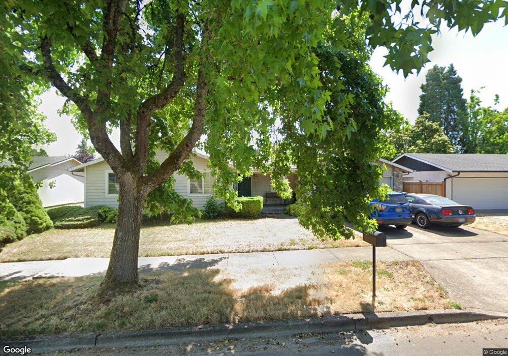
1711 Rainbow Dr Springfield, OR 97477
West Springfield NeighborhoodEstimated Value: $365,000 - $404,000
3
Beds
1
Bath
994
Sq Ft
$384/Sq Ft
Est. Value
About This Home
This home is located at 1711 Rainbow Dr, Springfield, OR 97477 and is currently estimated at $381,907, approximately $384 per square foot. 1711 Rainbow Dr is a home located in Lane County with nearby schools including Centennial Elementary School, Hamlin Middle School, and Springfield High School.
Ownership History
Date
Name
Owned For
Owner Type
Purchase Details
Closed on
Apr 1, 2008
Sold by
Woodie Katherine L
Bought by
Kirkland James L and Woodie Katherine L
Current Estimated Value
Purchase Details
Closed on
May 21, 1998
Sold by
Escalera Debra J and Escalera Mark E
Bought by
Woodie John D and Woodie Katherine L
Home Financials for this Owner
Home Financials are based on the most recent Mortgage that was taken out on this home.
Original Mortgage
$85,600
Outstanding Balance
$18,073
Interest Rate
8.37%
Estimated Equity
$363,834
Create a Home Valuation Report for This Property
The Home Valuation Report is an in-depth analysis detailing your home's value as well as a comparison with similar homes in the area
Home Values in the Area
Average Home Value in this Area
Purchase History
| Date | Buyer | Sale Price | Title Company |
|---|---|---|---|
| Kirkland James L | -- | Fidelity National Title Insu | |
| Woodie John D | $107,000 | Oregon Title Insurance Co |
Source: Public Records
Mortgage History
| Date | Status | Borrower | Loan Amount |
|---|---|---|---|
| Open | Woodie John D | $85,600 |
Source: Public Records
Tax History
| Year | Tax Paid | Tax Assessment Tax Assessment Total Assessment is a certain percentage of the fair market value that is determined by local assessors to be the total taxable value of land and additions on the property. | Land | Improvement |
|---|---|---|---|---|
| 2025 | $3,260 | $177,781 | -- | -- |
| 2024 | $3,207 | $172,603 | -- | -- |
| 2023 | $3,207 | $167,576 | $0 | $0 |
| 2022 | $2,970 | $162,696 | $0 | $0 |
| 2021 | $2,917 | $157,958 | $0 | $0 |
| 2020 | $2,832 | $153,358 | $0 | $0 |
| 2019 | $2,747 | $148,892 | $0 | $0 |
| 2018 | $2,589 | $140,346 | $0 | $0 |
| 2017 | $2,490 | $140,346 | $0 | $0 |
| 2016 | $2,438 | $136,258 | $0 | $0 |
| 2015 | $2,368 | $132,289 | $0 | $0 |
| 2014 | $2,332 | $128,436 | $0 | $0 |
Source: Public Records
Map
Nearby Homes
- 804 W N St
- 485 Scotts Glen Dr
- 484 Scotts Glen Dr
- 898 Lochaven Ave
- 325 W N St
- 364 Scotts Glen Dr
- 2150 Laura St Unit 119
- 2150 Laura St Unit 111
- 2150 Laura St Unit 39
- 2150 Laura St Unit 57
- 2150 Laura St Unit 83
- 2150 Laura St Unit 44
- 2150 Laura (#57) St Unit 57
- 952 Summit Blvd
- 930 Prescott Ln
- 1770 Brandy Way
- 1205 Mill St
- 1130 Anderson Ln
- 650 Harlow Rd Unit 209
- 375 Mia Ln
- 1705 Rainbow Dr
- 1715 Rainbow Dr
- 820 W Fairview Dr
- 1730 Rainbow Loop
- 1740 Rainbow Loop
- 1738 Rainbow Loop
- 1710 Rainbow Dr
- 814 W Fairview Dr
- 1718 Rainbow Dr
- 976 W Fairview Dr
- 805 W Fairview Dr
- 1743 Rainbow Dr
- 1736 Rainbow Dr
- 1726 Rainbow Loop
- 810 W Fairview Dr
- 939 W Fairview Dr
- 1754 Rainbow Loop
- 1744 Rainbow Dr
- 957 W Fairview Dr
- 1702 Rainbow Loop