17114 Devin Read Ln Little Rock, AR 72210
Western Little Rock NeighborhoodEstimated Value: $518,000 - $772,538
--
Bed
2
Baths
5,506
Sq Ft
$111/Sq Ft
Est. Value
About This Home
This home is located at 17114 Devin Read Ln, Little Rock, AR 72210 and is currently estimated at $611,885, approximately $111 per square foot. 17114 Devin Read Ln is a home located in Pulaski County with nearby schools including Lawson Elementary School, Joe T. Robinson Middle School, and Joe T. Robinson High School.
Ownership History
Date
Name
Owned For
Owner Type
Purchase Details
Closed on
Sep 5, 2019
Sold by
Garcia Pablo C
Bought by
Garcia Pablo and Garcia Allison L
Current Estimated Value
Create a Home Valuation Report for This Property
The Home Valuation Report is an in-depth analysis detailing your home's value as well as a comparison with similar homes in the area
Home Values in the Area
Average Home Value in this Area
Purchase History
| Date | Buyer | Sale Price | Title Company |
|---|---|---|---|
| Garcia Pablo | -- | None Available |
Source: Public Records
Tax History Compared to Growth
Tax History
| Year | Tax Paid | Tax Assessment Tax Assessment Total Assessment is a certain percentage of the fair market value that is determined by local assessors to be the total taxable value of land and additions on the property. | Land | Improvement |
|---|---|---|---|---|
| 2025 | $3,566 | $133,093 | $29,852 | $103,241 |
| 2024 | $3,243 | $133,093 | $29,852 | $103,241 |
| 2023 | $3,243 | $133,093 | $29,852 | $103,241 |
| 2022 | $4,237 | $133,093 | $29,852 | $103,241 |
| 2021 | $4,012 | $114,040 | $25,460 | $88,580 |
| 2020 | $3,512 | $114,040 | $25,460 | $88,580 |
| 2019 | $3,387 | $114,040 | $25,460 | $88,580 |
| 2018 | $3,287 | $114,040 | $25,460 | $88,580 |
| 2017 | $3,052 | $114,040 | $25,460 | $88,580 |
| 2016 | $2,295 | $45,170 | $30,730 | $14,440 |
| 2015 | $2,295 | $45,170 | $30,730 | $14,440 |
| 2014 | $2,295 | $45,170 | $30,730 | $14,440 |
Source: Public Records
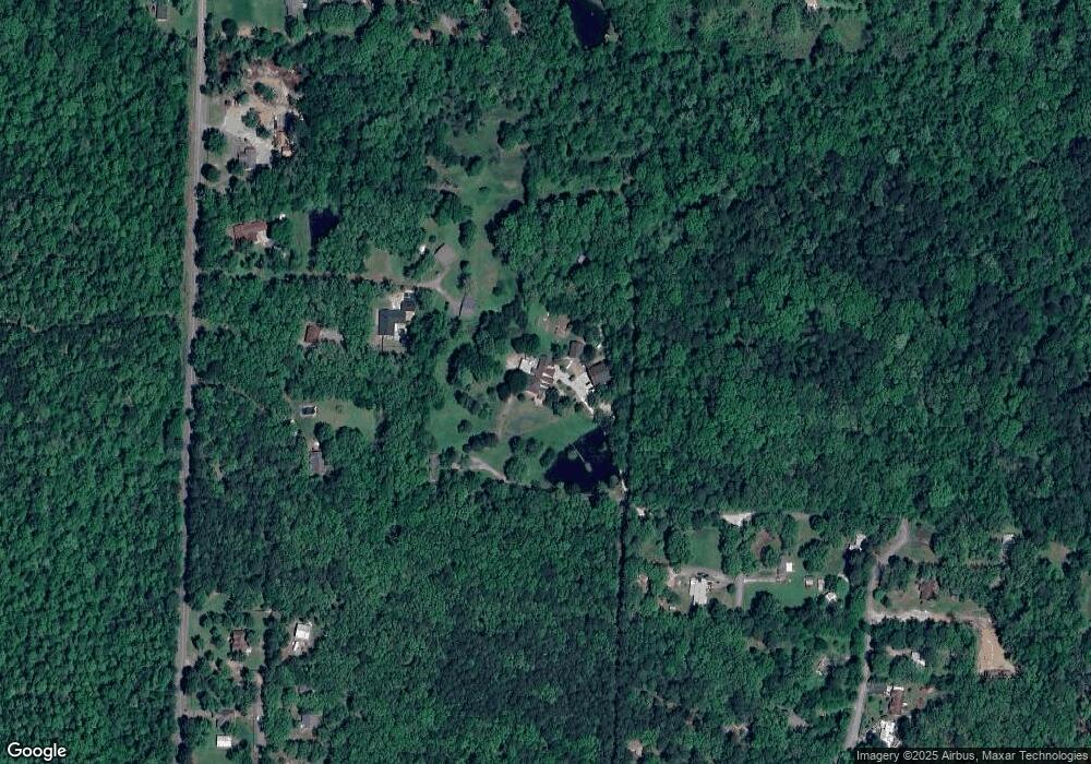
Map
Nearby Homes
- 6600 Shaner Cir
- 000
- 17419 Elvin Rd
- 00 Raines Sullivan
- 7015 Lucea Rd
- 0 Douglas Ln
- 18510 Crystal Valley Rd
- 4718 McHenry Creek Cir
- 18100 - 003 Raines Rd
- 18100 Raines Rd
- 16000 W Baseline Rd
- TBD Baseline West Rd
- 0 Crystal Valley Rd Unit 21019328
- 9096 Stone Canyon Dr
- 9 Camelia Cir
- 14 Woods Cove
- 14524 Lawson Rd
- 18821 Lochridge Dr
- 15108 Angus Ct
- 15109 Angus Ct
- 17110 Devin Read Ln
- 6801 Sullivan Rd
- 6809 Sullivan Rd
- 6811 Sullivan Rd
- 6410 Shaner Cir
- 6425 Shaner Cir
- 6723 Sullivan Rd
- 6400 Shaner Cir
- 17219 Elvin Rd
- 6525 Sullivan Rd
- 6601 Shaner Cir
- 7001 Sullivan Rd
- 7004 Shaner Cir
- 6701 Shaner Cir
- 7017 Brixie Rd
- 17007 Elvin Rd
- 0 Shaner Cir Unit 17030882
- 6405 Sullivan Rd
- 0 Brixie Rd
- 7021 Sullivan Rd