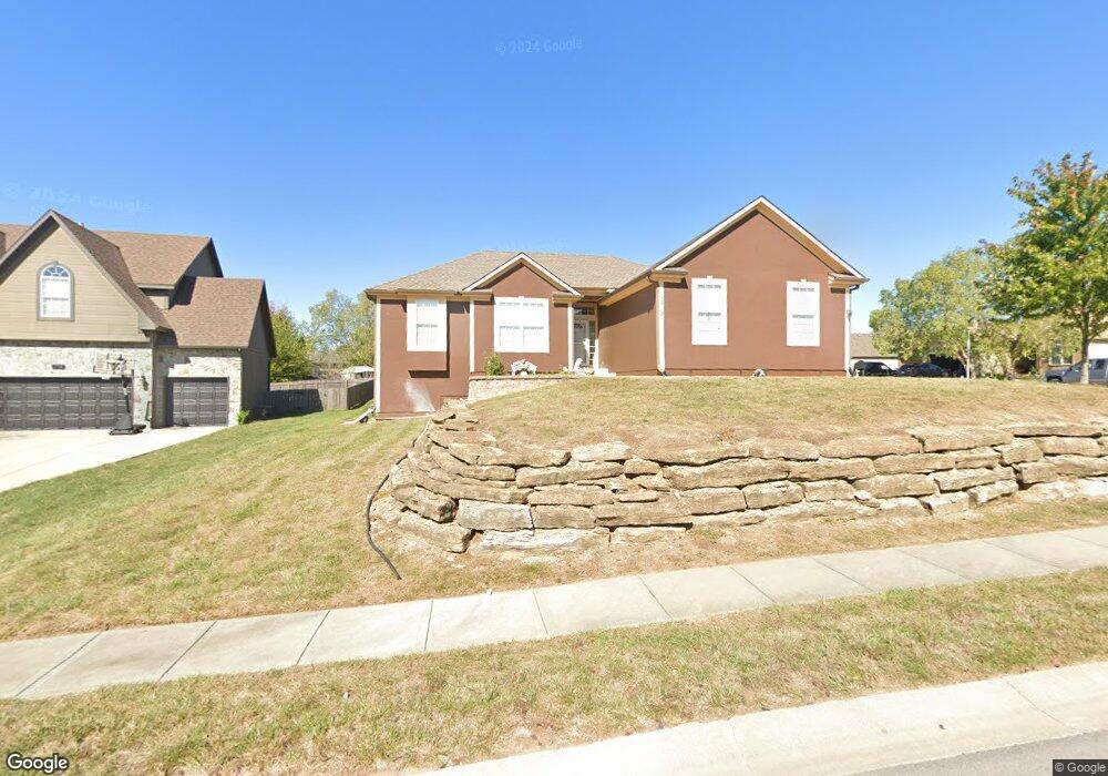
1712 Bobcat Ct Raymore, MO 64083
Estimated Value: $344,000 - $383,000
3
Beds
2
Baths
1,642
Sq Ft
$220/Sq Ft
Est. Value
About This Home
This home is located at 1712 Bobcat Ct, Raymore, MO 64083 and is currently estimated at $361,982, approximately $220 per square foot. 1712 Bobcat Ct is a home located in Cass County with nearby schools including Stonegate Elementary School, Raymore-Peculiar South Middle School, and Raymore-Peculiar Senior High School.
Ownership History
Date
Name
Owned For
Owner Type
Purchase Details
Closed on
Mar 30, 2009
Sold by
Fannie Mae
Bought by
Townsend Tammy
Current Estimated Value
Home Financials for this Owner
Home Financials are based on the most recent Mortgage that was taken out on this home.
Original Mortgage
$157,102
Outstanding Balance
$99,520
Interest Rate
5.14%
Mortgage Type
FHA
Estimated Equity
$262,462
Purchase Details
Closed on
May 3, 2007
Sold by
Morimo Homes Inc
Bought by
Humphrey Damon
Create a Home Valuation Report for This Property
The Home Valuation Report is an in-depth analysis detailing your home's value as well as a comparison with similar homes in the area
Home Values in the Area
Average Home Value in this Area
Purchase History
| Date | Buyer | Sale Price | Title Company |
|---|---|---|---|
| Townsend Tammy | -- | Continental Title Co | |
| Humphrey Damon | -- | -- |
Source: Public Records
Mortgage History
| Date | Status | Borrower | Loan Amount |
|---|---|---|---|
| Open | Townsend Tammy | $157,102 |
Source: Public Records
Tax History
| Year | Tax Paid | Tax Assessment Tax Assessment Total Assessment is a certain percentage of the fair market value that is determined by local assessors to be the total taxable value of land and additions on the property. | Land | Improvement |
|---|---|---|---|---|
| 2025 | $3,246 | $45,630 | $4,070 | $41,560 |
| 2024 | $3,246 | $39,940 | $3,700 | $36,240 |
| 2023 | $3,246 | $39,940 | $3,700 | $36,240 |
| 2022 | $2,892 | $35,350 | $3,700 | $31,650 |
| 2021 | $2,893 | $35,350 | $3,700 | $31,650 |
| 2020 | $2,876 | $34,530 | $3,700 | $30,830 |
| 2019 | $2,777 | $34,530 | $3,700 | $30,830 |
| 2018 | $2,565 | $30,800 | $3,080 | $27,720 |
| 2017 | $2,313 | $30,800 | $3,080 | $27,720 |
| 2016 | $2,313 | $28,830 | $3,080 | $25,750 |
| 2015 | $2,314 | $28,830 | $3,080 | $25,750 |
| 2014 | $2,316 | $28,830 | $3,080 | $25,750 |
| 2013 | -- | $28,830 | $3,080 | $25,750 |
Source: Public Records
Map
Nearby Homes
- 1717 Overbrook Ln
- 1519 Haystack Rd
- 927 Hedge Apple Place
- 1817 Prairie Grass Dr
- 1510 Colt Cir
- 709 Bluestem Ct
- 603 Old Paint Rd
- 1103 Carlisle Dr
- 1309 Larkspur Place
- 1408 Larkspur Place
- 1228 Larkspur Place
- 1301 Larkspur Place
- 1105 Creekside Ct
- 1206 W Lucy Webb Rd
- 1227 Larkspur Place
- 1108 Yokley Dr
- 411 Eagle Glen Dr
- 300 Dean Ave
- 415 Woodview Dr
- 1206 Royal Arch Trail
- 1714 Bobcat Ct
- 824 Old Paint Rd
- 832 Old Paint Rd
- 827 Old Paint Rd
- 825 Old Paint Rd
- 822 Old Paint Rd
- 1716 Bobcat Ct
- 1709 Black Bear Ct
- 831 Old Paint Rd
- 1711 Black Bear Ct
- 820 Old Paint Rd
- 834 Old Paint Rd
- 1713 Black Bear Ct
- 1715 Bobcat Ct
- 1718 Bobcat Ct
- 833 Old Paint Rd
- 1717 Bobcat Ct
- 1715 Black Bear Ct
- 819 Old Paint Rd
- 817 Old Paint Rd
Your Personal Tour Guide
Ask me questions while you tour the home.