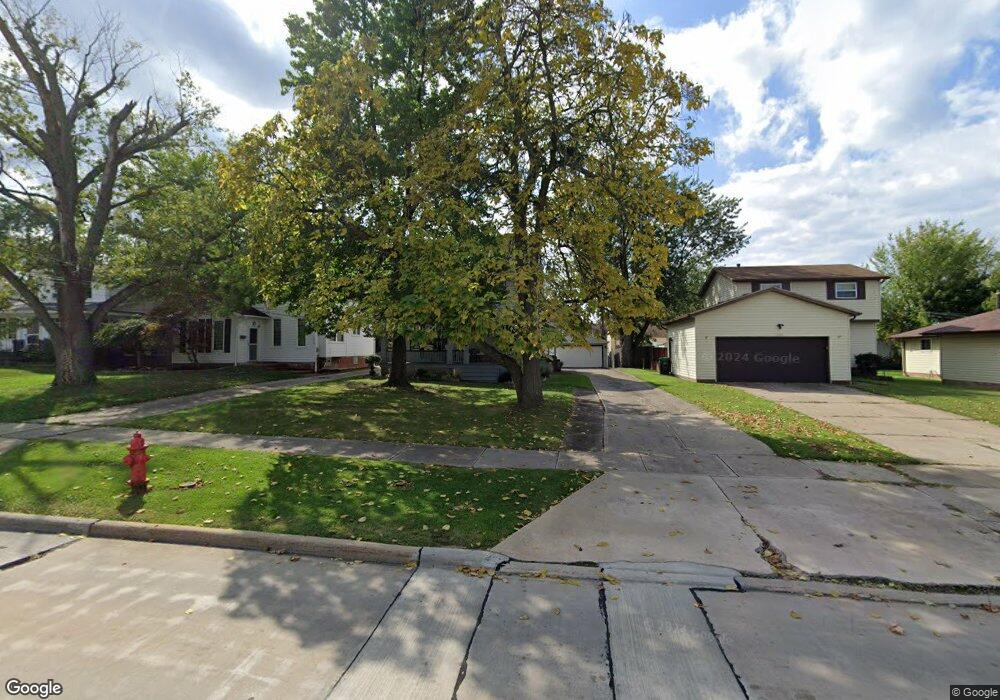
1712 Lincoln Rd Wickliffe, OH 44092
Estimated Value: $195,852 - $231,000
3
Beds
2
Baths
1,139
Sq Ft
$190/Sq Ft
Est. Value
About This Home
This home is located at 1712 Lincoln Rd, Wickliffe, OH 44092 and is currently estimated at $216,713, approximately $190 per square foot. 1712 Lincoln Rd is a home located in Lake County with nearby schools including Wickliffe Elementary School, Wickliffe Middle School, and Wickliffe High School.
Ownership History
Date
Name
Owned For
Owner Type
Purchase Details
Closed on
Sep 16, 1994
Sold by
Knesebeck Wayne C
Bought by
Stocker Craig M and Stocker Robyn
Current Estimated Value
Home Financials for this Owner
Home Financials are based on the most recent Mortgage that was taken out on this home.
Original Mortgage
$71,200
Interest Rate
8.44%
Mortgage Type
New Conventional
Create a Home Valuation Report for This Property
The Home Valuation Report is an in-depth analysis detailing your home's value as well as a comparison with similar homes in the area
Home Values in the Area
Average Home Value in this Area
Purchase History
| Date | Buyer | Sale Price | Title Company |
|---|---|---|---|
| Stocker Craig M | $89,000 | -- |
Source: Public Records
Mortgage History
| Date | Status | Borrower | Loan Amount |
|---|---|---|---|
| Closed | Stocker Craig M | $71,200 |
Source: Public Records
Tax History Compared to Growth
Tax History
| Year | Tax Paid | Tax Assessment Tax Assessment Total Assessment is a certain percentage of the fair market value that is determined by local assessors to be the total taxable value of land and additions on the property. | Land | Improvement |
|---|---|---|---|---|
| 2024 | -- | $55,410 | $16,270 | $39,140 |
| 2023 | $5,165 | $42,000 | $13,750 | $28,250 |
| 2022 | $3,013 | $42,000 | $13,750 | $28,250 |
| 2021 | $3,035 | $42,000 | $13,750 | $28,250 |
| 2020 | $3,573 | $42,150 | $11,270 | $30,880 |
| 2019 | $3,572 | $42,150 | $11,270 | $30,880 |
| 2018 | $2,902 | $38,680 | $12,350 | $26,330 |
| 2017 | $2,723 | $38,680 | $12,350 | $26,330 |
| 2016 | $2,710 | $38,680 | $12,350 | $26,330 |
| 2015 | $2,662 | $38,680 | $12,350 | $26,330 |
| 2014 | $2,345 | $38,680 | $12,350 | $26,330 |
| 2013 | $2,344 | $38,680 | $12,350 | $26,330 |
Source: Public Records
Map
Nearby Homes
- Birch Plan at Old School Village
- Elder Plan at Old School Village
- Cedar Plan at Old School Village
- Aspen Plan at Old School Village
- Tupelo Plan at Old School Village
- 1811 Lincoln Rd
- 1821 Lincoln Rd
- 25 Arlington Cir
- 29 Arlington Cir
- 1836 E 294th St
- 1807 E 294th St
- 1820 Rockefeller Rd
- 1457 E 289th St
- 28900 Euclid Ave
- 0 Green Ridge Dr
- 1824 Robindale St
- 1834 Robindale St
- 2253 E 290th St
- 1526 E 298th St
- 1354 Craneing Rd
- 1658 Lincoln Rd
- 1718 Lincoln Rd
- 1610 Lincoln Rd
- 1722 Lincoln Rd
- 1711 Maple St
- 1711 Maple St Unit 12
- 1540 Lincoln Rd
- 1705 Maple St
- 1715 Maple St
- 1701 Maple St
- 1719 Maple St
- 1730 Lincoln Rd
- 1725 Maple St
- 1535 Maple St
- 1537 Maple St
- 1736 Lincoln Rd
- 1729 Maple St
- 1531 Maple St
- 1522 Lincoln Rd
- 1735 Maple St