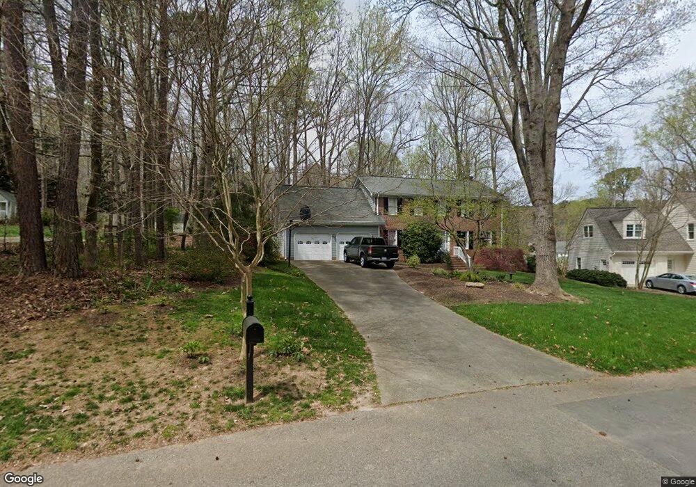
1712 Lookout Point Ct Raleigh, NC 27612
Greystone NeighborhoodEstimated Value: $706,017 - $732,000
4
Beds
3
Baths
2,608
Sq Ft
$275/Sq Ft
Est. Value
About This Home
This home is located at 1712 Lookout Point Ct, Raleigh, NC 27612 and is currently estimated at $716,754, approximately $274 per square foot. 1712 Lookout Point Ct is a home located in Wake County with nearby schools including Lynn Road Elementary School, Carroll Middle, and Sanderson High School.
Ownership History
Date
Name
Owned For
Owner Type
Purchase Details
Closed on
Apr 30, 1999
Sold by
Hipp Gerhard F
Bought by
Wylie Ii Robert Earl and Wylie Kirin B
Current Estimated Value
Home Financials for this Owner
Home Financials are based on the most recent Mortgage that was taken out on this home.
Original Mortgage
$183,900
Outstanding Balance
$47,595
Interest Rate
7.06%
Estimated Equity
$669,159
Create a Home Valuation Report for This Property
The Home Valuation Report is an in-depth analysis detailing your home's value as well as a comparison with similar homes in the area
Home Values in the Area
Average Home Value in this Area
Purchase History
| Date | Buyer | Sale Price | Title Company |
|---|---|---|---|
| Wylie Ii Robert Earl | $230,000 | -- |
Source: Public Records
Mortgage History
| Date | Status | Borrower | Loan Amount |
|---|---|---|---|
| Open | Wylie Ii Robert Earl | $183,900 | |
| Closed | Wylie Ii Robert Earl | $22,900 |
Source: Public Records
Tax History Compared to Growth
Tax History
| Year | Tax Paid | Tax Assessment Tax Assessment Total Assessment is a certain percentage of the fair market value that is determined by local assessors to be the total taxable value of land and additions on the property. | Land | Improvement |
|---|---|---|---|---|
| 2025 | $5,372 | $613,710 | $250,000 | $363,710 |
| 2024 | $5,350 | $613,710 | $250,000 | $363,710 |
| 2023 | $4,286 | $391,387 | $130,000 | $261,387 |
| 2022 | $3,983 | $391,387 | $130,000 | $261,387 |
| 2021 | $3,828 | $391,387 | $130,000 | $261,387 |
| 2020 | $3,759 | $391,387 | $130,000 | $261,387 |
| 2019 | $3,544 | $304,041 | $100,000 | $204,041 |
| 2018 | $3,342 | $304,041 | $100,000 | $204,041 |
| 2017 | $3,183 | $304,041 | $100,000 | $204,041 |
| 2016 | $3,118 | $304,041 | $100,000 | $204,041 |
| 2015 | $3,500 | $336,053 | $132,000 | $204,053 |
| 2014 | $3,319 | $336,053 | $132,000 | $204,053 |
Source: Public Records
Map
Nearby Homes
- 7216 Bluffside Ct
- 7340 Doverton Ct
- 6801 Valley Lake Dr
- 2428 Havershire Dr
- 7922 Footman Way
- 7820 Harbor Dr
- 6825 Middleboro Dr
- 6821 Middleboro Dr
- 6851 Middleboro Dr
- 6901 Middleboro Dr
- 1221 Moultrie Ct
- 6505 Burnette Flower Way
- 6501 Burnette Flower Way
- 1701 Burnette Garden Path
- 6733 Middleboro Dr
- 1705 Burnette Garden Path
- 8920 Taymouth Ct
- 6844 Gloucester Rd
- 6502 Brecken Pines Ct
- 8913 Taymouth Ct
- 1708 Lookout Point Ct
- 7204 Valley Lake Dr
- 1716 Lookout Point Ct
- 1702 Lookout Point Ct
- 7212 Valley Lake Dr
- 1704 Lookout Point Ct
- 7208 Valley Lake Dr
- 1790 Lookout Point Ct
- 1700 Lookout Point Ct
- 7425 Capstone Dr
- 7216 Valley Lake Dr
- 1713 Lookout Point Ct
- 7108 Valley Lake Dr
- 7421 Capstone Dr
- 7429 Capstone Dr
- 7304 Valley Lake Dr
- 1709 Lookout Point Ct
- 1701 Lookout Point Ct
- 7207 Valley Lake Dr
- 7417 Capstone Dr