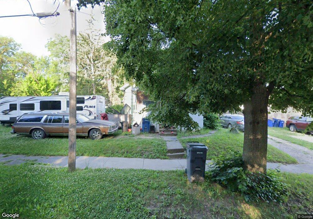
1712 Neilson St Flint, MI 48503
South Side NeighborhoodEstimated Value: $39,000 - $76,000
2
Beds
1
Bath
792
Sq Ft
$71/Sq Ft
Est. Value
About This Home
This home is located at 1712 Neilson St, Flint, MI 48503 and is currently estimated at $56,337, approximately $71 per square foot. 1712 Neilson St is a home located in Genesee County with nearby schools including Freeman Elementary School, Flint Southwestern Classical Academy, and International Academy of Flint (K-12).
Ownership History
Date
Name
Owned For
Owner Type
Purchase Details
Closed on
Jan 28, 2014
Sold by
The Genesee County Land Bank Authority
Bought by
Stewart Bernard
Current Estimated Value
Purchase Details
Closed on
Dec 20, 2013
Sold by
Genesee County Treasurer
Bought by
Genesee County Land Bank
Purchase Details
Closed on
Sep 25, 2002
Sold by
Griffin Donald E and Griffin Nancy
Bought by
Markee Audrey C
Purchase Details
Closed on
Dec 29, 1999
Sold by
Rodgers V Rodgers S and Rodgers Mamie
Bought by
Griffin Donald E and Griffin Nancy E
Create a Home Valuation Report for This Property
The Home Valuation Report is an in-depth analysis detailing your home's value as well as a comparison with similar homes in the area
Home Values in the Area
Average Home Value in this Area
Purchase History
| Date | Buyer | Sale Price | Title Company |
|---|---|---|---|
| Stewart Bernard | $3,130 | None Available | |
| Genesee County Land Bank | -- | None Available | |
| Markee Audrey C | -- | First American Title Ins Co | |
| Griffin Donald E | $21,000 | Cislo Title Company |
Source: Public Records
Mortgage History
| Date | Status | Borrower | Loan Amount |
|---|---|---|---|
| Closed | Stewart Bernard | $0 |
Source: Public Records
Tax History Compared to Growth
Tax History
| Year | Tax Paid | Tax Assessment Tax Assessment Total Assessment is a certain percentage of the fair market value that is determined by local assessors to be the total taxable value of land and additions on the property. | Land | Improvement |
|---|---|---|---|---|
| 2025 | $629 | $13,600 | $0 | $0 |
| 2024 | $582 | $15,000 | $0 | $0 |
| 2023 | $579 | $13,200 | $0 | $0 |
| 2022 | $0 | $11,600 | $0 | $0 |
| 2021 | $594 | $8,700 | $0 | $0 |
| 2020 | $548 | $7,400 | $0 | $0 |
| 2019 | $542 | $6,600 | $0 | $0 |
| 2018 | $515 | $6,000 | $0 | $0 |
| 2017 | $503 | $0 | $0 | $0 |
| 2016 | $501 | $0 | $0 | $0 |
| 2015 | -- | $0 | $0 | $0 |
| 2014 | -- | $0 | $0 | $0 |
| 2012 | -- | $7,600 | $0 | $0 |
Source: Public Records
Map
Nearby Homes
- 517 Morley Ave
- 1517 Tacoma St
- 1511 Tacoma St
- 647 Monroe St
- 639 Monroe St
- 1114 S Grand Traverse St
- 1708 Fenton Rd
- 812 Remington Ave
- 1215 S Grand Traverse St
- 834 Remington Ave
- 1009 Oak St
- 2021 Brooks St
- 211 W 5th St
- 420 Pingree Ave
- 657 Barrie Ave
- 741 Barrie Ave
- 930 Bloor Ave
- 133 E Oakley St
- A Avenue
- 2050 Ferris Ave