1712 Parsons Rd Mapleton, ME 04757
Estimated Value: $279,000 - $347,000
3
Beds
2
Baths
1,768
Sq Ft
$183/Sq Ft
Est. Value
About This Home
This home is located at 1712 Parsons Rd, Mapleton, ME 04757 and is currently estimated at $322,828, approximately $182 per square foot. 1712 Parsons Rd is a home located in Aroostook County with nearby schools including Presque Isle Middle School and Presque Isle High School.
Ownership History
Date
Name
Owned For
Owner Type
Purchase Details
Closed on
Nov 7, 2014
Sold by
Martin Daniel R
Bought by
Martin Daniel R and Martin Leslie D
Current Estimated Value
Home Financials for this Owner
Home Financials are based on the most recent Mortgage that was taken out on this home.
Original Mortgage
$187,400
Outstanding Balance
$148,656
Interest Rate
5%
Mortgage Type
Commercial
Estimated Equity
$174,172
Purchase Details
Closed on
Jul 27, 2011
Sold by
Chandler Donald W
Bought by
Martin Daniel
Purchase Details
Closed on
May 25, 2010
Sold by
Lecrone Timothy J and Lecrone Rolanda S
Bought by
Martin Daniel R
Home Financials for this Owner
Home Financials are based on the most recent Mortgage that was taken out on this home.
Original Mortgage
$157,500
Interest Rate
5.5%
Mortgage Type
Commercial
Create a Home Valuation Report for This Property
The Home Valuation Report is an in-depth analysis detailing your home's value as well as a comparison with similar homes in the area
Purchase History
| Date | Buyer | Sale Price | Title Company |
|---|---|---|---|
| Martin Daniel R | -- | -- | |
| Martin Daniel | -- | -- | |
| Martin Daniel R | -- | -- | |
| Martin Daniel R | -- | -- |
Source: Public Records
Mortgage History
| Date | Status | Borrower | Loan Amount |
|---|---|---|---|
| Open | Martin Daniel R | $187,400 | |
| Closed | Martin Daniel R | $157,500 |
Source: Public Records
Tax History
| Year | Tax Paid | Tax Assessment Tax Assessment Total Assessment is a certain percentage of the fair market value that is determined by local assessors to be the total taxable value of land and additions on the property. | Land | Improvement |
|---|---|---|---|---|
| 2024 | $3,116 | $248,300 | $65,300 | $183,000 |
| 2023 | $2,938 | $206,200 | $65,300 | $140,900 |
| 2022 | $2,922 | $180,900 | $55,700 | $125,200 |
| 2021 | $2,922 | $180,900 | $55,700 | $125,200 |
| 2020 | $2,985 | $180,900 | $55,700 | $125,200 |
| 2019 | $2,917 | $182,300 | $55,700 | $126,600 |
| 2018 | $2,901 | $183,600 | $55,500 | $128,100 |
| 2017 | $2,834 | $183,400 | $55,300 | $128,100 |
| 2016 | $2,903 | $184,900 | $55,300 | $129,600 |
| 2015 | $2,737 | $184,900 | $55,300 | $129,600 |
| 2014 | $2,777 | $186,400 | $55,300 | $131,100 |
| 2013 | $2,703 | $186,400 | $55,300 | $131,100 |
Source: Public Records
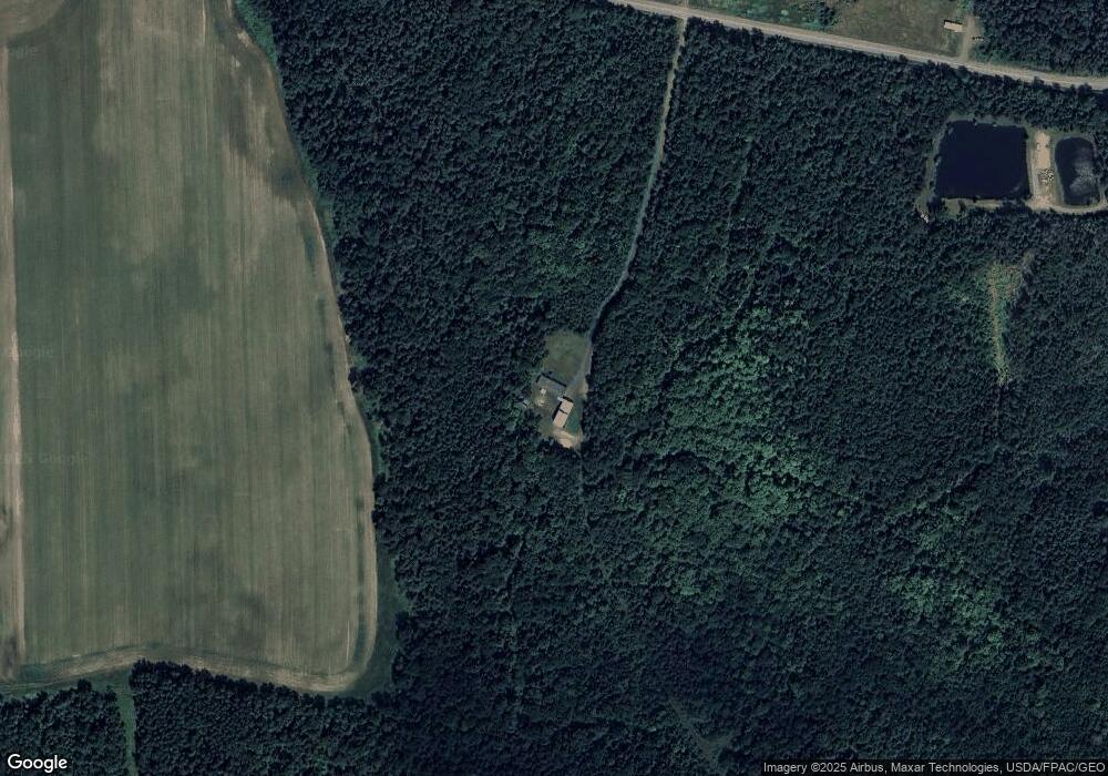
Map
Nearby Homes
- 1421 State Rd
- 281 Cross Rd
- Lot 7 Off Pulcifer Rd
- 1053 Washburn Rd
- 459 Griffin Ridge Rd
- 707 Hughes Rd
- M6L38 Coffin Rd
- 15 Canaan Ave
- 16 Stoddard St
- 339 Parsons Rd
- M2 L39-1 Pease Rd
- 17 Churchill St
- M9L22 Caribou Lake Rd
- 1345 Main St
- 7 Mcmanus St
- 74 Hines St
- 183 Pulcifur Rd
- 93 Hines St
- 94 Hines St
- 40 Fords Ln
- 1685 Parsons Rd
- 1664 Parsons Rd
- 142 Hale Rd
- 1749 Parsons Rd
- 1646 Parsons Rd
- 1645 Parsons Rd
- 206 Hale Rd
- 1636 Parsons Rd
- 212 Hale Rd
- 194 Hale Rd
- 1812 Parsons Rd
- 494 Washburn Rd
- 1821 Parsons Rd
- 484 Washburn Rd
- 522 Washburn Rd
- 466 Washburn Rd
- 536 Washburn Rd
- 483 Washburn Rd
- 499 Washburn Rd
- 475 Washburn Rd
Your Personal Tour Guide
Ask me questions while you tour the home.