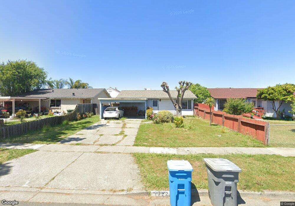
1712 Severus Dr Vallejo, CA 94589
Estimated Value: $398,000 - $418,000
2
Beds
2
Baths
864
Sq Ft
$473/Sq Ft
Est. Value
About This Home
This home is located at 1712 Severus Dr, Vallejo, CA 94589 and is currently estimated at $408,850, approximately $473 per square foot. 1712 Severus Dr is a home located in Napa County with nearby schools including Donaldson Way Elementary School, American Canyon Middle School, and American Canyon High School.
Ownership History
Date
Name
Owned For
Owner Type
Purchase Details
Closed on
Oct 12, 1993
Sold by
Tibbs Tony Alan and Tibbs Andrea B
Bought by
Rosauro Raul M and Rosauro Marinez R
Current Estimated Value
Home Financials for this Owner
Home Financials are based on the most recent Mortgage that was taken out on this home.
Original Mortgage
$103,206
Interest Rate
6.94%
Mortgage Type
FHA
Create a Home Valuation Report for This Property
The Home Valuation Report is an in-depth analysis detailing your home's value as well as a comparison with similar homes in the area
Purchase History
| Date | Buyer | Sale Price | Title Company |
|---|---|---|---|
| Rosauro Raul M | $102,500 | North American Title Co Inc |
Source: Public Records
Mortgage History
| Date | Status | Borrower | Loan Amount |
|---|---|---|---|
| Closed | Rosauro Raul M | $103,206 |
Source: Public Records
Tax History
| Year | Tax Paid | Tax Assessment Tax Assessment Total Assessment is a certain percentage of the fair market value that is determined by local assessors to be the total taxable value of land and additions on the property. | Land | Improvement |
|---|---|---|---|---|
| 2025 | $2,982 | $174,216 | $71,385 | $102,831 |
| 2024 | $2,982 | $170,801 | $69,986 | $100,815 |
| 2023 | $8,868 | $167,453 | $68,614 | $98,839 |
| 2022 | $8,761 | $164,170 | $67,269 | $96,901 |
| 2021 | $8,700 | $160,951 | $65,950 | $95,001 |
| 2020 | $8,674 | $159,301 | $65,274 | $94,027 |
| 2019 | $8,578 | $156,179 | $63,995 | $92,184 |
| 2018 | $2,334 | $153,118 | $62,741 | $90,377 |
| 2017 | $2,214 | $150,116 | $61,511 | $88,605 |
| 2016 | $1,642 | $147,173 | $60,305 | $86,868 |
| 2015 | $1,620 | $144,964 | $59,400 | $85,564 |
| 2014 | $1,596 | $142,125 | $58,237 | $83,888 |
Source: Public Records
Map
Nearby Homes
- 1355 Jack London Dr
- 1335 Jack London Dr
- 130 Kennison Ct
- 552 Cattail Ct
- 568 Cattail Ct
- 148 Obrien Cir
- 1537 Mini Dr
- 240 Rinaldo Dr
- 35 Marla Dr
- 316 Meadows Dr
- 570 Newport Way
- 601 Danrose Dr
- 1001 Jack London Dr
- 446 Kensington Way
- 705 Danrose Dr
- 121 Forsythia Ct
- 203 Baylor Dr Unit 11
- 141 Dartmouth Ave
- 151 Marquette Ave
- 116 Bret Harte Way
- 1706 Severus Dr
- 1718 Severus Dr
- 1724 Severus Dr
- 557 Marla Dr
- 1400 Jack London Dr
- 561 Marla Dr
- 553 Marla Dr
- 1730 Severus Dr
- 1713 Severus Dr
- 565 Marla Dr
- 1719 Severus Dr
- 1707 Severus Dr
- 1725 Severus Dr
- 1370 Jack London Dr
- 1736 Severus Dr
- 569 Marla Dr
- 1731 Severus Dr
- 545 Marla Dr
- 1737 Severus Dr
- 130 Litchfield Ct
Your Personal Tour Guide
Ask me questions while you tour the home.