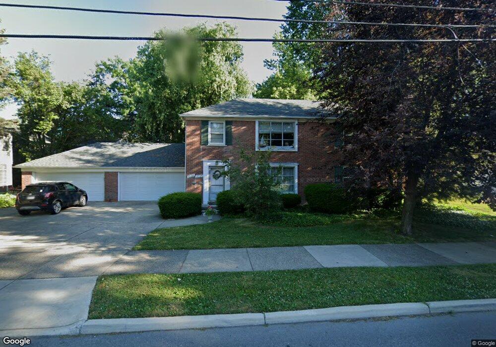
17125 St Paul Grosse Pointe, MI 48230
Estimated Value: $459,000 - $788,216
2
Beds
1
Bath
1,000
Sq Ft
$679/Sq Ft
Est. Value
About This Home
This home is located at 17125 St Paul, Grosse Pointe, MI 48230 and is currently estimated at $679,054, approximately $679 per square foot. 17125 St Paul is a home located in Wayne County with nearby schools including Lewis Maire Elementary School, Pierce Middle School, and Grosse Pointe South High School.
Ownership History
Date
Name
Owned For
Owner Type
Purchase Details
Closed on
Jan 12, 2024
Sold by
Drummy Joan Griffith
Bought by
Kouskoulas Athanasia and Kouskoulas Michael Mariana
Current Estimated Value
Create a Home Valuation Report for This Property
The Home Valuation Report is an in-depth analysis detailing your home's value as well as a comparison with similar homes in the area
Home Values in the Area
Average Home Value in this Area
Purchase History
| Date | Buyer | Sale Price | Title Company |
|---|---|---|---|
| Kouskoulas Athanasia | $750,000 | Capital Title | |
| Kouskoulas Athanasia | $750,000 | Capital Title |
Source: Public Records
Tax History
| Year | Tax Paid | Tax Assessment Tax Assessment Total Assessment is a certain percentage of the fair market value that is determined by local assessors to be the total taxable value of land and additions on the property. | Land | Improvement |
|---|---|---|---|---|
| 2025 | $11,996 | $287,100 | $0 | $0 |
| 2024 | $5,813 | $276,800 | $0 | $0 |
| 2023 | $5,543 | $268,300 | $0 | $0 |
| 2022 | $10,160 | $243,600 | $0 | $0 |
| 2021 | $9,892 | $226,600 | $0 | $0 |
| 2019 | $9,737 | $195,100 | $0 | $0 |
| 2018 | $4,811 | $184,900 | $0 | $0 |
| 2017 | $8,358 | $182,700 | $0 | $0 |
| 2016 | $8,817 | $173,000 | $0 | $0 |
| 2015 | $13,731 | $159,000 | $0 | $0 |
| 2013 | $13,302 | $140,300 | $0 | $0 |
| 2012 | -- | $129,900 | $0 | $0 |
Source: Public Records
Map
Nearby Homes
- 516 Neff Ln
- 497 Neff Rd
- 25 Village Ln
- 43 Cranford Ln
- 47 Cranford Ln
- 612 Cadieux Rd
- 42 Cranford Ln
- 30 Cranford Ln
- 379 Lakeland St
- 386 Notre Dame St
- 1030 Bishop Rd
- 760 Loraine St
- 775 Notre Dame St
- 345 Roosevelt Place
- 614 Rivard Blvd
- 320 Neff Rd
- 781 Loraine St
- 1264 Bishop Rd
- 355 Lincoln Rd
- 16761 E Jefferson Ave
- 17125 Saint Paul St
- 562 Saint Clair St
- 562 St Clair
- 568 St Clair
- 568 Saint Clair St
- 17129 St Paul
- 17147 Saint Paul St
- 562 Saint Clair Ave
- 17129 Saint Paul St
- 17132 Saint Paul St
- 17130 Saint Paul St
- 17130 Saint Paul St
- 17130 Saint Paul St Unit Main floor St Paul S
- 548 Saint Clair St
- 572 St Clair
- 572 Saint Clair St
- 17124 Saint Paul St
- 17145 Saint Paul St
- 548 Saint Clair Ave
- 17152 Saint Paul St
Your Personal Tour Guide
Ask me questions while you tour the home.