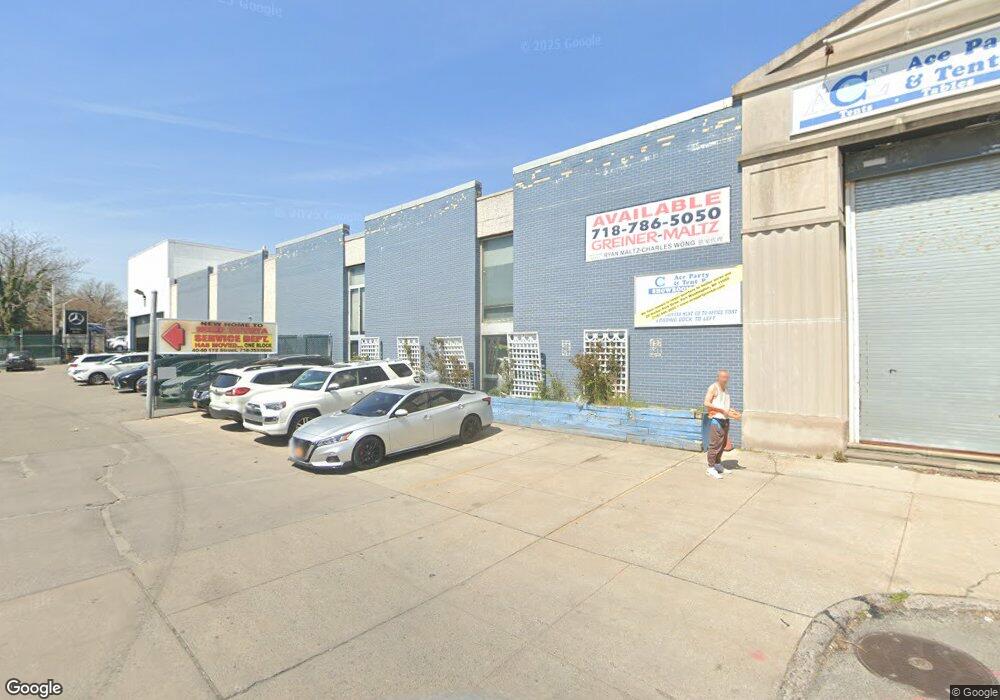
17127 Station Rd Flushing, NY 11358
Flushing NeighborhoodEstimated Value: $7,302,828
--
Bed
--
Bath
16,640
Sq Ft
$439/Sq Ft
Est. Value
About This Home
This home is located at 17127 Station Rd, Flushing, NY 11358 and is currently estimated at $7,302,828, approximately $438 per square foot. 17127 Station Rd is a home located in Queens County with nearby schools including P.S. 107 Thomas A Dooley, I.S. 25 Adrien Block, and Francis Lewis High School.
Ownership History
Date
Name
Owned For
Owner Type
Purchase Details
Closed on
Feb 17, 2022
Sold by
171 Station Road - Pac Llc
Bought by
171-27 Station Road Llc
Current Estimated Value
Purchase Details
Closed on
Feb 1, 2022
Sold by
171 Station Road Llc
Bought by
171 Station Road - Pac Llc and 171 Station Road - R.A., Llc
Purchase Details
Closed on
Jul 18, 2007
Sold by
Ammirati Richard and Clarke John F
Bought by
171 Station Road Llc
Create a Home Valuation Report for This Property
The Home Valuation Report is an in-depth analysis detailing your home's value as well as a comparison with similar homes in the area
Home Values in the Area
Average Home Value in this Area
Purchase History
| Date | Buyer | Sale Price | Title Company |
|---|---|---|---|
| 171-27 Station Road Llc | $6,800,000 | -- | |
| 171 Station Road - Pac Llc | -- | -- | |
| 171 Station Road Llc | -- | -- |
Source: Public Records
Tax History Compared to Growth
Tax History
| Year | Tax Paid | Tax Assessment Tax Assessment Total Assessment is a certain percentage of the fair market value that is determined by local assessors to be the total taxable value of land and additions on the property. | Land | Improvement |
|---|---|---|---|---|
| 2025 | $72,395 | $682,860 | $341,550 | $341,310 |
| 2024 | $72,395 | $683,490 | $341,550 | $341,940 |
| 2023 | $72,400 | $680,070 | $341,550 | $338,520 |
| 2022 | $36,292 | $698,400 | $341,550 | $356,850 |
| 2021 | $63,137 | $590,400 | $341,550 | $248,850 |
| 2020 | $71,204 | $724,950 | $341,550 | $383,400 |
| 2019 | $69,714 | $709,650 | $341,550 | $368,100 |
| 2018 | $70,638 | $671,850 | $341,550 | $330,300 |
| 2017 | $67,337 | $640,450 | $341,550 | $298,900 |
| 2016 | $64,371 | $640,450 | $341,550 | $298,900 |
| 2015 | $16,250 | $553,508 | $307,350 | $246,158 |
| 2014 | $16,250 | $484,659 | $273,150 | $211,509 |
Source: Public Records
Map
Nearby Homes
- 3639 171st St Unit 26
- 3641 169th St Unit 2F
- 170-06 Crocheron Ave Unit 1F
- 170-06 Crocheron Ave Unit 5B
- 189-23 39th Ave Unit 122
- 40-12 190th St
- 190-05 39th Ave Unit 140
- 190-05 39th Ave Unit 142
- 36-20 190th St
- 4014 191st St
- 190-17 42nd Ave
- 191-09 39th Ave Unit Lower
- 191-9 39th Ave Unit 164
- 35-20 Utopia Pkwy
- 19112 Station Rd
- 35-63 168th St
- 192-16 39th Ave Unit 1
- 191-22 39th Ave
- 167-10 Crocheron Ave Unit 6M
- 167-10 Crocheron Ave Unit 1F
- 17120 Station Rd
- 17110 39th Ave
- 4001 172nd St
- 40-07 172nd St
- 3920 Utopia Pkwy
- 17202 39th Ave
- 4003 172nd St
- 4005 172nd St
- 40-05 172nd St
- 4007 172nd St
- 17102 39th Ave
- 40-09 172nd St
- 4009 172nd St
- 4004 Utopia Pkwy
- 4011 172nd St
- 25-31 & 33 Francis Lewis Blvd
- 190-7A Crocheron Ave Unit 7A-2
- 16203 & 05 Laburnum Ave
- 46-61 & 63 162nd St
- 47-05 Fran Lewis Blvd Blvd