1713 Apples Rd Chapin, IL 62628
Estimated Value: $216,000 - $308,738
--
Bed
--
Bath
--
Sq Ft
5
Acres
About This Home
This home is located at 1713 Apples Rd, Chapin, IL 62628 and is currently estimated at $262,579. 1713 Apples Rd is a home located in Morgan County with nearby schools including Triopia Grade School and Triopia Junior/Senior High School.
Ownership History
Date
Name
Owned For
Owner Type
Purchase Details
Closed on
Aug 31, 2021
Sold by
Mcglasson Pete D
Bought by
Lacy Terris and Lacy Rebecca
Current Estimated Value
Home Financials for this Owner
Home Financials are based on the most recent Mortgage that was taken out on this home.
Original Mortgage
$184,000
Outstanding Balance
$167,176
Interest Rate
2.7%
Mortgage Type
New Conventional
Estimated Equity
$95,403
Purchase Details
Closed on
Aug 28, 2019
Sold by
Brogdon Janeen L and Mcglasson Janeen L
Bought by
Mcglasson Pete D
Create a Home Valuation Report for This Property
The Home Valuation Report is an in-depth analysis detailing your home's value as well as a comparison with similar homes in the area
Home Values in the Area
Average Home Value in this Area
Purchase History
| Date | Buyer | Sale Price | Title Company |
|---|---|---|---|
| Lacy Terris | $230,000 | Carol Good Il Re Ctr Llc | |
| Mcglasson Pete D | -- | Attorney |
Source: Public Records
Mortgage History
| Date | Status | Borrower | Loan Amount |
|---|---|---|---|
| Open | Lacy Terris | $184,000 |
Source: Public Records
Tax History Compared to Growth
Tax History
| Year | Tax Paid | Tax Assessment Tax Assessment Total Assessment is a certain percentage of the fair market value that is determined by local assessors to be the total taxable value of land and additions on the property. | Land | Improvement |
|---|---|---|---|---|
| 2024 | $5,531 | $92,620 | $6,000 | $86,620 |
| 2023 | $5,216 | $84,220 | $6,000 | $78,220 |
| 2022 | $4,809 | $76,870 | $6,000 | $70,870 |
| 2021 | $2,152 | $37,450 | $4,500 | $32,950 |
| 2020 | $2,259 | $37,450 | $4,500 | $32,950 |
| 2019 | $3,334 | $52,030 | $4,500 | $47,530 |
| 2018 | $3,206 | $51,100 | $4,500 | $46,600 |
| 2017 | $3,126 | $49,740 | $4,500 | $45,240 |
| 2016 | $2,637 | $42,160 | $4,410 | $37,750 |
| 2015 | $2,603 | $40,540 | $4,240 | $36,300 |
| 2014 | $2,603 | $40,140 | $4,200 | $35,940 |
| 2013 | $2,395 | $40,140 | $4,200 | $35,940 |
Source: Public Records
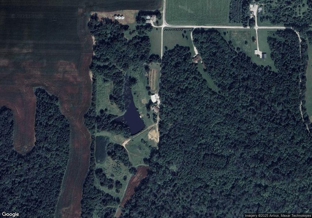
Map
Nearby Homes
- 1640 Old Highway 67
- 1672 Mount Zion Rd
- 1585 Gravel Springs Cir
- 1865 Gravel Springs Cir
- 304 Carobeth Cir
- 108 Nansarah Dr
- 617 Railroad St
- 615 Ash St
- 718 Superior St
- 205 E Main St
- 307 Westwinds Dr
- 33 Windrush Dr
- 17 Windrush Dr
- 70 Applebee Farms Dr
- 22 Appomatox Ave
- 1924 Cedar St
- 1856 Plum St
- 1492 Passavant Dr
- 1903 Mound Rd
- 1 Wadsworth Dr
- 1729 Apples Rd
- 1711 Apples Rd
- 1805 Apples Rd
- 1697 Mount Zion Rd
- 1654 Old Highway 67
- 1654 Old Us Highway 67
- 1654 Old Us Highway 67
- 1650 Wolf Rd
- 1652 Old Us Highway 67
- 1649 Wolf Rd
- 1654 Wolf Rd
- 1640 Old Us Highway 67
- 1640 Old Highway 67
- 1658 Wolf Rd
- 1699 Mount Zion Rd
- 1656 Wolf Rd
- 1715 Mount Zion Rd
- 1721 Mount Zion Rd
- 1703 Mount Zion Rd