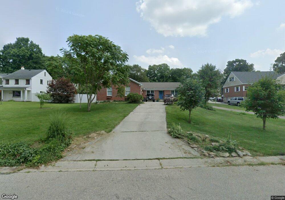
1713 Dix Rd Middletown, OH 45042
Springhill NeighborhoodEstimated Value: $243,000 - $344,000
4
Beds
2
Baths
1,803
Sq Ft
$166/Sq Ft
Est. Value
About This Home
This home is located at 1713 Dix Rd, Middletown, OH 45042 and is currently estimated at $299,453, approximately $166 per square foot. 1713 Dix Rd is a home located in Butler County with nearby schools including Miller Ridge Elementary School, Highview 6th Grade Center, and Middletown Middle School.
Ownership History
Date
Name
Owned For
Owner Type
Purchase Details
Closed on
Sep 7, 2001
Sold by
Wilkinson John K and Wilkinson Sheila A
Bought by
Smith Chad D and Smith Elizabeth L
Current Estimated Value
Home Financials for this Owner
Home Financials are based on the most recent Mortgage that was taken out on this home.
Original Mortgage
$21,675
Interest Rate
7.75%
Mortgage Type
Purchase Money Mortgage
Purchase Details
Closed on
Jul 31, 1997
Sold by
Miller Edward R
Bought by
Miller Fredric L and Miller Hope
Create a Home Valuation Report for This Property
The Home Valuation Report is an in-depth analysis detailing your home's value as well as a comparison with similar homes in the area
Home Values in the Area
Average Home Value in this Area
Purchase History
| Date | Buyer | Sale Price | Title Company |
|---|---|---|---|
| Smith Chad D | $28,900 | -- | |
| Miller Fredric L | $60,000 | -- |
Source: Public Records
Mortgage History
| Date | Status | Borrower | Loan Amount |
|---|---|---|---|
| Closed | Smith Chad D | $21,675 |
Source: Public Records
Tax History Compared to Growth
Tax History
| Year | Tax Paid | Tax Assessment Tax Assessment Total Assessment is a certain percentage of the fair market value that is determined by local assessors to be the total taxable value of land and additions on the property. | Land | Improvement |
|---|---|---|---|---|
| 2024 | $4,553 | $88,150 | $7,990 | $80,160 |
| 2023 | $4,526 | $89,960 | $7,990 | $81,970 |
| 2022 | $3,573 | $61,480 | $7,990 | $53,490 |
| 2021 | $3,436 | $61,480 | $7,990 | $53,490 |
| 2020 | $3,580 | $61,480 | $7,990 | $53,490 |
| 2019 | $4,012 | $55,360 | $7,770 | $47,590 |
| 2018 | $3,492 | $55,360 | $7,770 | $47,590 |
| 2017 | $3,499 | $55,360 | $7,770 | $47,590 |
| 2016 | $3,328 | $49,130 | $7,770 | $41,360 |
| 2015 | $3,280 | $49,130 | $7,770 | $41,360 |
| 2014 | $2,713 | $49,130 | $7,770 | $41,360 |
| 2013 | $2,713 | $44,160 | $7,770 | $36,390 |
Source: Public Records
Map
Nearby Homes
- 3504 Jewell Ave
- 2204 Hawthorne St
- 3512 Glencoe Ave
- 2310 Byron St
- 2316 Byron St
- 4205 Vannest Ave
- 4430 Stratford Dr
- 3206 Bexley Dr
- 4431 Stratford Dr
- 1237 Ellen Dr
- 3108 Ohio Ave
- 1232 Ellen Dr
- 3207 Raymond Dr
- 2995 Carmody Blvd
- 4235 Vannest Ave
- 3210 Wildwood Rd
- 3101 Manchester Rd
- 1031 Golfview Dr
- 2981 Carmody Blvd
- 2985 Wilbraham Rd