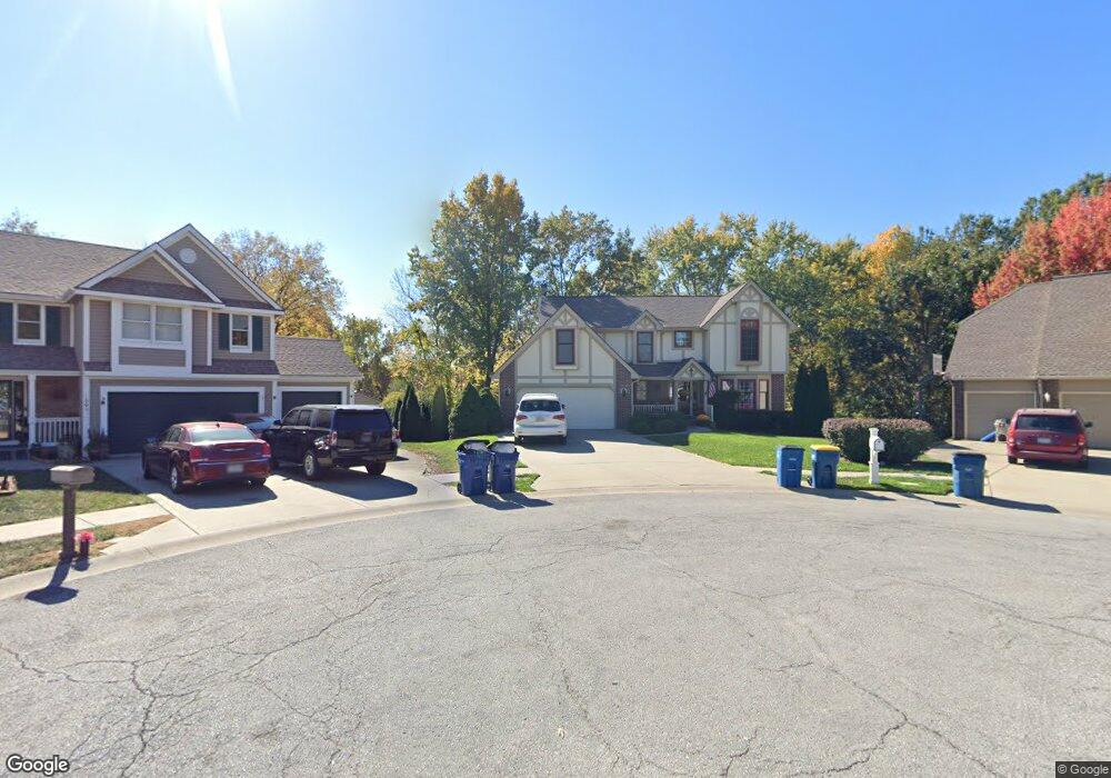
1713 S Wales Liberty, MO 64068
Estimated Value: $427,663 - $484,000
4
Beds
4
Baths
2,453
Sq Ft
$183/Sq Ft
Est. Value
About This Home
This home is located at 1713 S Wales, Liberty, MO 64068 and is currently estimated at $448,416, approximately $182 per square foot. 1713 S Wales is a home located in Clay County with nearby schools including Alexander Doniphan Elementary School, Liberty Middle School, and Liberty High School.
Ownership History
Date
Name
Owned For
Owner Type
Purchase Details
Closed on
Jan 11, 2006
Sold by
Mcginty Patrick K and Mcginty Marjorie A
Bought by
Hollar Daniel R and Hollar Catalina
Current Estimated Value
Home Financials for this Owner
Home Financials are based on the most recent Mortgage that was taken out on this home.
Original Mortgage
$180,000
Outstanding Balance
$100,754
Interest Rate
6.2%
Mortgage Type
Fannie Mae Freddie Mac
Estimated Equity
$347,662
Create a Home Valuation Report for This Property
The Home Valuation Report is an in-depth analysis detailing your home's value as well as a comparison with similar homes in the area
Home Values in the Area
Average Home Value in this Area
Purchase History
| Date | Buyer | Sale Price | Title Company |
|---|---|---|---|
| Hollar Daniel R | -- | Stewart Title North |
Source: Public Records
Mortgage History
| Date | Status | Borrower | Loan Amount |
|---|---|---|---|
| Open | Hollar Daniel R | $180,000 |
Source: Public Records
Tax History Compared to Growth
Tax History
| Year | Tax Paid | Tax Assessment Tax Assessment Total Assessment is a certain percentage of the fair market value that is determined by local assessors to be the total taxable value of land and additions on the property. | Land | Improvement |
|---|---|---|---|---|
| 2025 | $4,720 | $71,140 | -- | -- |
| 2024 | $4,720 | $61,370 | -- | -- |
| 2023 | $4,800 | $61,370 | $0 | $0 |
| 2022 | $4,085 | $51,570 | $0 | $0 |
| 2021 | $4,053 | $51,566 | $6,650 | $44,916 |
| 2020 | $3,983 | $47,580 | $0 | $0 |
| 2019 | $3,982 | $47,580 | $0 | $0 |
| 2018 | $3,772 | $44,250 | $0 | $0 |
| 2017 | $3,607 | $44,250 | $4,750 | $39,500 |
| 2016 | $3,607 | $42,710 | $4,750 | $37,960 |
| 2015 | $3,607 | $42,710 | $4,750 | $37,960 |
| 2014 | $3,470 | $40,770 | $4,370 | $36,400 |
Source: Public Records
Map
Nearby Homes
- 1733 Welleslay Ln
- 1537 Canterbury Ln
- 1507 Amesbury Ave
- 1323 Amesbury Ave
- 1327 Easton Ct
- 1218 Canterbury Ln
- 1205 Blackberry Dr
- 1304 Wellington Way
- 1836 Green Meadow Dr
- 1856 Arbor Trail
- 1124 Amesbury Ave
- 2188 Heritage Ct
- 1845 Arbor Trail
- 1991 Harvest Rd
- McKinley Plan at Homestead of Liberty - Homestead
- Monroe Plan at Homestead of Liberty - Homestead
- Chestnut Plan at Homestead of Liberty - Homestead
- The Brooklyn Plan at Homestead of Liberty - Homestead
- Cypress Plan at Homestead of Liberty - Homestead
- The Linden Plan at Homestead of Liberty - Homestead
- 202 Kirkland Ave
- 1717 S Wales
- 1709 S Wales
- 200 Kirkland Ave
- 1721 S Wales
- 1705 S Wales
- 1701 S Wales
- 1809 Welleslay Ct
- 102 Kirkland Ave
- 1604 Canterbury Ct
- 1813 Welleslay Ct
- 1716 S Wales
- 402 Wherritt Ln
- 97 Kirkland Ave
- 1801 Welleslay Ct
- 1600 Canterbury Ct
- 1608 Canterbury Ct
- 1805 Welleslay Ct
- 104 Kirkland Ave
- 1700 S Wales