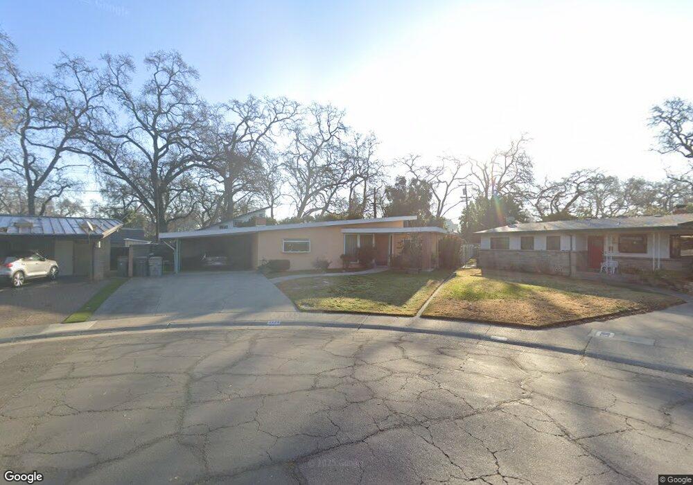
1713 Westwood Cir West Sacramento, CA 95691
Old West Sacramento NeighborhoodEstimated Value: $397,000 - $512,114
--
Bed
--
Bath
--
Sq Ft
7,144
Sq Ft Lot
About This Home
This home is located at 1713 Westwood Cir, West Sacramento, CA 95691 and is currently estimated at $460,529. 1713 Westwood Cir is a home located in Yolo County with nearby schools including Westmore Oaks Elementary School, River City High, and Sacramento Valley Charter School.
Ownership History
Date
Name
Owned For
Owner Type
Purchase Details
Closed on
Dec 10, 2013
Sold by
Turner William Pitt
Bought by
Turner V W Pitt and Turner Regina
Current Estimated Value
Home Financials for this Owner
Home Financials are based on the most recent Mortgage that was taken out on this home.
Original Mortgage
$209,732
Outstanding Balance
$153,872
Interest Rate
3.75%
Mortgage Type
FHA
Estimated Equity
$306,657
Purchase Details
Closed on
Nov 25, 2013
Sold by
Turner William Pitt and Joe & Betty Sokolich Family Re
Bought by
Turner William Pitt
Home Financials for this Owner
Home Financials are based on the most recent Mortgage that was taken out on this home.
Original Mortgage
$209,732
Outstanding Balance
$153,872
Interest Rate
3.75%
Mortgage Type
FHA
Estimated Equity
$306,657
Create a Home Valuation Report for This Property
The Home Valuation Report is an in-depth analysis detailing your home's value as well as a comparison with similar homes in the area
Home Values in the Area
Average Home Value in this Area
Purchase History
| Date | Buyer | Sale Price | Title Company |
|---|---|---|---|
| Turner V W Pitt | $242,500 | Placer Title Company | |
| Turner William Pitt | $242,500 | None Available | |
| Turner William Pitt | -- | None Available |
Source: Public Records
Mortgage History
| Date | Status | Borrower | Loan Amount |
|---|---|---|---|
| Open | Turner V W Pitt | $209,732 | |
| Closed | Turner William Pitt | $242,500 |
Source: Public Records
Tax History Compared to Growth
Tax History
| Year | Tax Paid | Tax Assessment Tax Assessment Total Assessment is a certain percentage of the fair market value that is determined by local assessors to be the total taxable value of land and additions on the property. | Land | Improvement |
|---|---|---|---|---|
| 2025 | $1,079 | $81,794 | $15,156 | $66,638 |
| 2023 | $1,079 | $78,619 | $14,568 | $64,051 |
| 2022 | $1,010 | $77,079 | $14,283 | $62,796 |
| 2021 | $1,002 | $75,568 | $14,003 | $61,565 |
| 2020 | $958 | $74,794 | $13,860 | $60,934 |
| 2019 | $946 | $73,329 | $13,589 | $59,740 |
| 2018 | $929 | $71,892 | $13,323 | $58,569 |
| 2017 | $920 | $70,483 | $13,062 | $57,421 |
| 2016 | $907 | $69,102 | $12,806 | $56,296 |
| 2015 | $837 | $68,065 | $12,614 | $55,451 |
| 2014 | $837 | $66,732 | $12,367 | $54,365 |
Source: Public Records
Map
Nearby Homes
- 1916 Park Blvd
- 1826 Maryland Ave
- 1911 Vermont Ave
- 1549 Virginia Ave
- 1021 Sycamore Ave
- 1043 Park Blvd
- 1925 Proctor Ave
- 1908 Proctor Ave
- 1925 Willow Ave
- 1655 Fathom Place
- 830 Pecan St
- 2321 Kinsington St
- 2000 W Capitol Ave Unit 125
- 1584 Gateway Dr
- 1832 Rockrose Rd
- 710 Glide Ave Unit 66
- 0 Jefferson Blvd Unit 225119728
- 1003 Central St
- 785 Dolomite Ct
- 989 Central St
- 1719 Westwood Cir
- 1712 Ferndale Cir
- 1709 Westwood Cir
- 1708 Ferndale Cir
- 1713 Ferndale Cir
- 1720 Westwood Cir
- 1811 Deerwood Cir
- 1605 Lakewood Dr
- 1807 Deerwood Cir
- 1524 Acorn Ct
- 1716 Westwood Cir
- 1520 Acorn Ct
- 1712 Westwood Cir
- 1709 Ferndale Cir
- 1803 Deerwood Cir
- 1517 Lakewood Dr
- 1716 Mosswood Cir
- 1528 Acorn Ct
- 1516 Acorn Ct
- 1720 Mosswood Cir