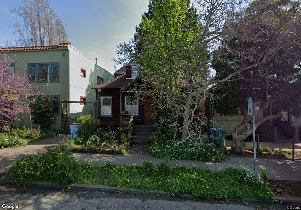
1714 Blake St Berkeley, CA 94703
South Berkeley NeighborhoodEstimated Value: $1,133,098 - $1,456,000
2
Beds
2
Baths
992
Sq Ft
$1,328/Sq Ft
Est. Value
About This Home
This home is located at 1714 Blake St, Berkeley, CA 94703 and is currently estimated at $1,317,775, approximately $1,328 per square foot. 1714 Blake St is a home located in Alameda County with nearby schools including Malcolm X Elementary School, Emerson Elementary School, and John Muir Elementary School.
Ownership History
Date
Name
Owned For
Owner Type
Purchase Details
Closed on
Aug 14, 2000
Sold by
Navazio Paul C and Roeckl Margaret E
Bought by
Antaramian Aram
Current Estimated Value
Home Financials for this Owner
Home Financials are based on the most recent Mortgage that was taken out on this home.
Original Mortgage
$374,400
Outstanding Balance
$129,997
Interest Rate
7.62%
Estimated Equity
$1,187,778
Purchase Details
Closed on
Nov 28, 1994
Sold by
Wynn Kahn Noah and Wynn Leonard Victoria
Bought by
Nevazio Paul C and Roecki Margaret E
Home Financials for this Owner
Home Financials are based on the most recent Mortgage that was taken out on this home.
Original Mortgage
$213,600
Interest Rate
3.62%
Create a Home Valuation Report for This Property
The Home Valuation Report is an in-depth analysis detailing your home's value as well as a comparison with similar homes in the area
Home Values in the Area
Average Home Value in this Area
Purchase History
| Date | Buyer | Sale Price | Title Company |
|---|---|---|---|
| Antaramian Aram | $468,000 | Placer Title Company | |
| Nevazio Paul C | $267,000 | North American Title Company |
Source: Public Records
Mortgage History
| Date | Status | Borrower | Loan Amount |
|---|---|---|---|
| Open | Antaramian Aram | $374,400 | |
| Previous Owner | Nevazio Paul C | $213,600 |
Source: Public Records
Tax History
| Year | Tax Paid | Tax Assessment Tax Assessment Total Assessment is a certain percentage of the fair market value that is determined by local assessors to be the total taxable value of land and additions on the property. | Land | Improvement |
|---|---|---|---|---|
| 2025 | $10,279 | $698,148 | $211,544 | $493,604 |
| 2024 | $10,279 | $684,324 | $207,397 | $483,927 |
| 2023 | $10,069 | $677,771 | $203,331 | $474,440 |
| 2022 | $9,900 | $657,484 | $199,345 | $465,139 |
| 2021 | $9,928 | $644,455 | $195,436 | $456,019 |
| 2020 | $9,437 | $644,777 | $193,433 | $451,344 |
| 2019 | $9,108 | $632,136 | $189,641 | $442,495 |
| 2018 | $8,962 | $619,744 | $185,923 | $433,821 |
| 2017 | $8,637 | $607,594 | $182,278 | $425,316 |
| 2016 | $8,386 | $595,684 | $178,705 | $416,979 |
| 2015 | $8,278 | $586,740 | $176,022 | $410,718 |
| 2014 | $8,230 | $575,251 | $172,575 | $402,676 |
Source: Public Records
Map
Nearby Homes
- 1645 Dwight Way
- 1612 Parker St
- 1612 Carleton St
- 2701 Grant St
- 1901 Parker St Unit 3
- 1515 Derby St
- 2350 Sacramento St
- 1530 Stuart St
- 2750 Sacramento St
- 1450 Ward St
- 2758 Sacramento St
- 2018 Blake St
- 2774 Sacramento St
- 2782 Sacramento St
- 2790 Sacramento St
- 2926 Ellis St
- 1535 Julia St
- 2218 -2222 Grant St
- 2118 California St
- 1646 Ashby Ave
- 1716 Blake St
- 1712 Blake St
- 1720 Blake St
- 1708 Blake St
- 1704 Blake St
- 1726 Blake St
- 1715 Parker St
- 1711 Parker St Unit B
- 1711 Parker St Unit A
- 1711 Parker St
- 1711 Parker St
- 1711 Parker St
- 1719 Parker St
- 2533 McGee Ave
- 1730 Blake St
- 2529 McGee Ave
- 2527 McGee Ave
- 1707 Parker St
- 1725 Parker St
- 1705 Parker St
Your Personal Tour Guide
Ask me questions while you tour the home.