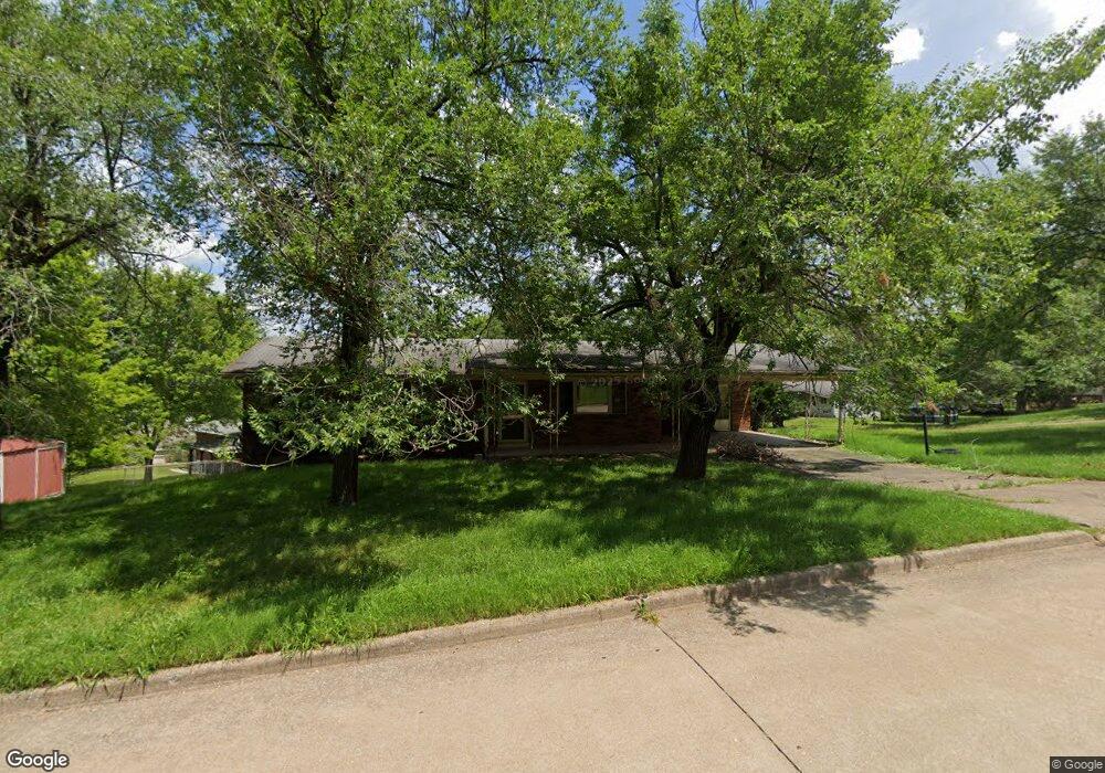
1714 Huntington Dr Cape Girardeau, MO 63701
Estimated Value: $212,918 - $247,000
3
Beds
2
Baths
1,250
Sq Ft
$186/Sq Ft
Est. Value
About This Home
This home is located at 1714 Huntington Dr, Cape Girardeau, MO 63701 and is currently estimated at $232,480, approximately $185 per square foot. 1714 Huntington Dr is a home located in Cape Girardeau County with nearby schools including Blanchard Elementary School, Central Middle School, and Central Junior High School.
Ownership History
Date
Name
Owned For
Owner Type
Purchase Details
Closed on
May 22, 2009
Sold by
Emmendorfer Thomas J and Emmendorfer Kristin M
Bought by
Manley Christopher L and Manley Natalie
Current Estimated Value
Home Financials for this Owner
Home Financials are based on the most recent Mortgage that was taken out on this home.
Original Mortgage
$130,492
Outstanding Balance
$82,048
Interest Rate
4.76%
Mortgage Type
FHA
Estimated Equity
$150,432
Create a Home Valuation Report for This Property
The Home Valuation Report is an in-depth analysis detailing your home's value as well as a comparison with similar homes in the area
Home Values in the Area
Average Home Value in this Area
Purchase History
| Date | Buyer | Sale Price | Title Company |
|---|---|---|---|
| Manley Christopher L | -- | None Available |
Source: Public Records
Mortgage History
| Date | Status | Borrower | Loan Amount |
|---|---|---|---|
| Open | Manley Christopher L | $130,492 |
Source: Public Records
Tax History Compared to Growth
Tax History
| Year | Tax Paid | Tax Assessment Tax Assessment Total Assessment is a certain percentage of the fair market value that is determined by local assessors to be the total taxable value of land and additions on the property. | Land | Improvement |
|---|---|---|---|---|
| 2025 | $12 | $23,690 | $4,290 | $19,400 |
| 2024 | $12 | $22,570 | $4,090 | $18,480 |
| 2023 | $1,173 | $22,570 | $4,090 | $18,480 |
| 2022 | $1,082 | $20,800 | $3,770 | $17,030 |
| 2021 | $1,081 | $20,800 | $3,770 | $17,030 |
| 2020 | $1,085 | $20,800 | $3,770 | $17,030 |
| 2019 | $1,083 | $20,800 | $0 | $0 |
| 2018 | $1,081 | $20,800 | $0 | $0 |
| 2017 | $1,083 | $20,800 | $0 | $0 |
| 2016 | $1,079 | $20,800 | $0 | $0 |
| 2015 | $1,080 | $20,800 | $0 | $0 |
| 2014 | $1,085 | $20,800 | $0 | $0 |
Source: Public Records
Map
Nearby Homes
- 1835 Westridge Dr
- 1801 N West End Blvd
- 1314 Bertling St
- 1717 Perryville Rd
- 1525 Brucher St
- 1546 Oak Lei Dr
- 1417 Mary Ann St
- 1806 Stoddard St
- 1446 N Henderson St
- 1210 Perryville Rd
- 1527 Howell St
- 1415 N Clark St
- 1814 Ricardo Dr
- 1427 Price Dr
- 2323 Brookwood Dr
- 1533 Birchwood
- 2323 Jean Ann Dr
- 1912 Perryville Rd
- 1230 Brookshire Rd Unit 1230 & 1232
- 1742 Dunklin St
- 1611 Bel Air Dr
- 1720 Huntington Dr
- 1709 Huntington Dr
- 1715 Huntington Dr
- 1619 Oak Hills Dr
- 1705 Huntington Dr
- 1617 Bel Air Dr
- 1721 Huntington Dr
- 1625 Oak Hills St
- 1726 Huntington Dr
- 1725 Huntington Dr
- 1605 Bel Air Dr
- 1711 Lyndhurst Dr
- 1623 Bel Air Dr
- 1612 Lyndhurst Dr
- 1717 Lyndhurst Dr
- 1618 Oak Hills St
- 1631 Oak Hills St
- 1631 Oak Hills Dr
- 1731 Huntington Dr