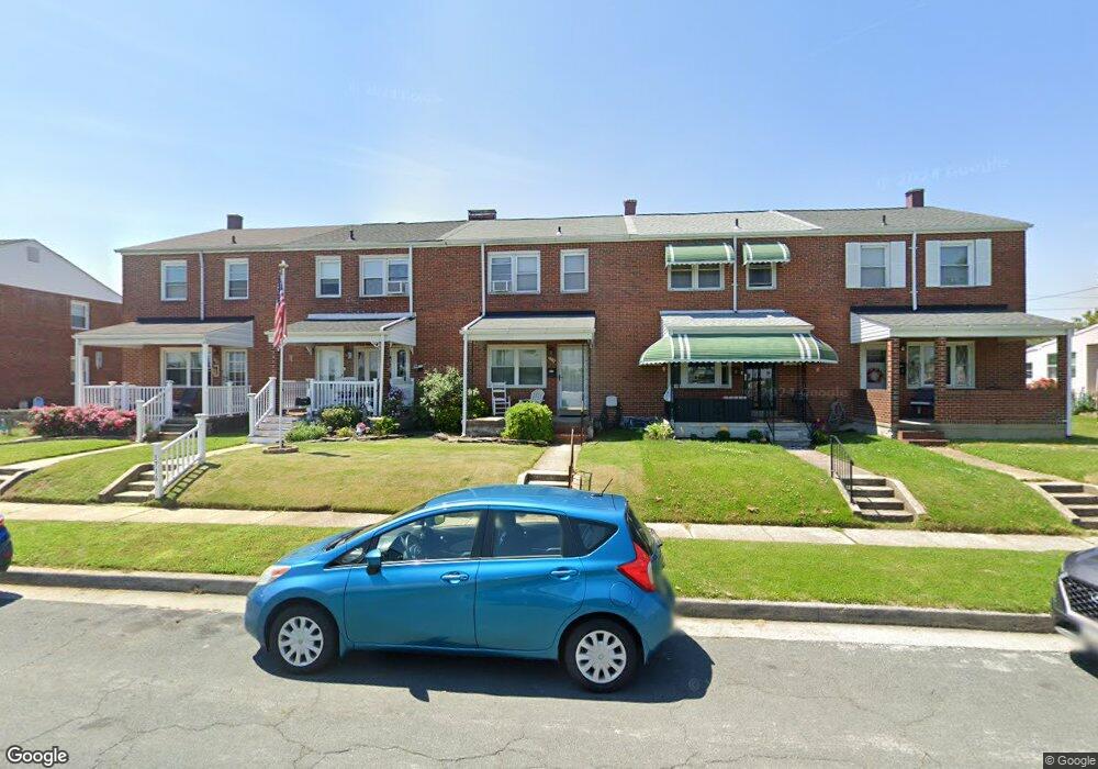
1714 Langport Ave Dundalk, MD 21222
Estimated Value: $221,236 - $239,000
--
Bed
1
Bath
1,216
Sq Ft
$191/Sq Ft
Est. Value
About This Home
This home is located at 1714 Langport Ave, Dundalk, MD 21222 and is currently estimated at $232,559, approximately $191 per square foot. 1714 Langport Ave is a home located in Baltimore County with nearby schools including Bear Creek Elementary School, General John Stricker Middle School, and Patapsco High & Center for Arts.
Ownership History
Date
Name
Owned For
Owner Type
Purchase Details
Closed on
May 2, 2017
Sold by
Wichner Neil H and Wichner Angela M
Bought by
Wichner Neil H
Current Estimated Value
Purchase Details
Closed on
Jan 14, 2011
Sold by
Grant Toba W
Bought by
Wichner Neil H and Wichner Angela M
Purchase Details
Closed on
Jun 18, 1998
Sold by
Holicky Dennis M
Bought by
Wichner Neil H and Wichner Angela M
Purchase Details
Closed on
May 14, 1975
Sold by
Poland Ray L
Bought by
Holicky Dennis M
Create a Home Valuation Report for This Property
The Home Valuation Report is an in-depth analysis detailing your home's value as well as a comparison with similar homes in the area
Home Values in the Area
Average Home Value in this Area
Purchase History
| Date | Buyer | Sale Price | Title Company |
|---|---|---|---|
| Wichner Neil H | -- | None Available | |
| Wichner Neil H | $1,600 | Home Title Company Inc | |
| Wichner Neil H | $86,000 | -- | |
| Holicky Dennis M | $22,000 | -- |
Source: Public Records
Tax History Compared to Growth
Tax History
| Year | Tax Paid | Tax Assessment Tax Assessment Total Assessment is a certain percentage of the fair market value that is determined by local assessors to be the total taxable value of land and additions on the property. | Land | Improvement |
|---|---|---|---|---|
| 2025 | $2,238 | $164,033 | -- | -- |
| 2024 | $2,238 | $148,367 | $0 | $0 |
| 2023 | $1,228 | $132,700 | $36,000 | $96,700 |
| 2022 | $2,306 | $129,267 | $0 | $0 |
| 2021 | $2,128 | $125,833 | $0 | $0 |
| 2020 | $2,128 | $122,400 | $36,000 | $86,400 |
| 2019 | $1,900 | $117,767 | $0 | $0 |
| 2018 | $1,946 | $113,133 | $0 | $0 |
| 2017 | $1,792 | $108,500 | $0 | $0 |
| 2016 | $1,681 | $108,500 | $0 | $0 |
| 2015 | $1,681 | $108,500 | $0 | $0 |
| 2014 | $1,681 | $131,400 | $0 | $0 |
Source: Public Records
Map
Nearby Homes
- 8110 N Boundary Rd
- 8146 Del Haven Rd
- 8103 Gray Haven Rd
- 8146 Gray Haven Rd
- 1711 Woodland Dr
- 1914 Armco Way
- 60 Del Rio Rd
- 1943 Dineen Dr
- 7839 Harold Rd
- 2007 Dineen Dr
- 1614 Lynch Rd
- 308 Pinewood Rd
- 1605 Evergreen Dr
- 1923 Inverton Rd
- 7807 Rockbourne Rd
- 1894 Church Rd
- 7808 Deboy Ave
- 2801 Mccomas Ave
- 8411 Kavanagh Rd
- 214 Parkwood Rd
- 1712 Langport Ave
- 1716 Langport Ave
- 1718 Langport Ave
- 1710 Langport Ave
- 1720 Langport Ave
- 1708 Langport Ave
- 1722 Langport Ave
- 1706 Langport Ave
- 1724 Langport Ave
- 1704 Langport Ave
- 1715 Stokesley Rd
- 1717 Stokesley Rd
- 1713 Stokesley Rd
- 1719 Stokesley Rd
- 1711 Stokesley Rd
- 1726 Langport Ave
- 1702 Langport Ave
- 1721 Stokesley Rd
- 1709 Stokesley Rd
- 1723 Stokesley Rd