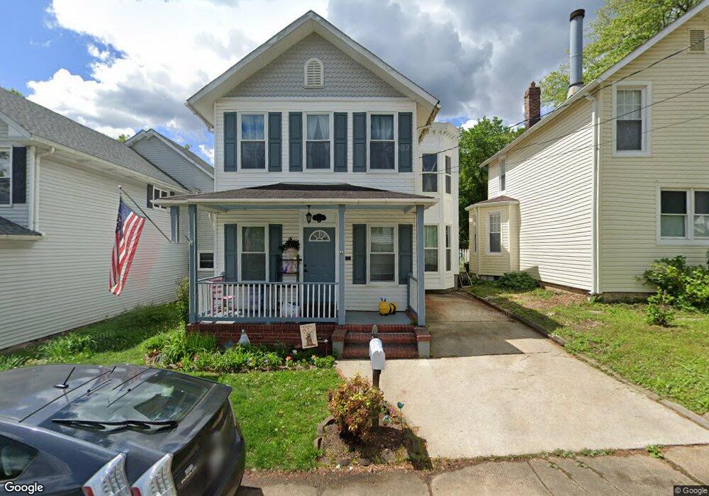
1714 S Rolling Rd Halethorpe, MD 21227
Estimated Value: $323,555 - $388,000
2
Beds
3
Baths
1,572
Sq Ft
$223/Sq Ft
Est. Value
About This Home
This home is located at 1714 S Rolling Rd, Halethorpe, MD 21227 and is currently estimated at $349,889, approximately $222 per square foot. 1714 S Rolling Rd is a home located in Baltimore County with nearby schools including Relay Elementary School, Arbutus Middle School, and Lansdowne High School.
Ownership History
Date
Name
Owned For
Owner Type
Purchase Details
Closed on
May 5, 2010
Sold by
Sweet Steven S and Sweet Kathleen J
Bought by
Courneya Jean Paul and Courneya Jennifer Lee
Current Estimated Value
Purchase Details
Closed on
Jun 20, 1996
Sold by
Andersen John M Andersen Julie A
Bought by
Sweet Steven S Sweet Kathleen J and Sweet Leda N
Create a Home Valuation Report for This Property
The Home Valuation Report is an in-depth analysis detailing your home's value as well as a comparison with similar homes in the area
Home Values in the Area
Average Home Value in this Area
Purchase History
| Date | Buyer | Sale Price | Title Company |
|---|---|---|---|
| Courneya Jean Paul | $252,000 | -- | |
| Sweet Steven S Sweet Kathleen J | $30,000 | -- |
Source: Public Records
Tax History
| Year | Tax Paid | Tax Assessment Tax Assessment Total Assessment is a certain percentage of the fair market value that is determined by local assessors to be the total taxable value of land and additions on the property. | Land | Improvement |
|---|---|---|---|---|
| 2025 | $3,354 | $218,867 | -- | -- |
| 2024 | $3,354 | $214,300 | $66,000 | $148,300 |
| 2023 | $1,555 | $191,300 | $0 | $0 |
| 2022 | $2,799 | $168,300 | $0 | $0 |
| 2021 | $2,555 | $145,300 | $34,600 | $110,700 |
| 2020 | $2,555 | $141,433 | $0 | $0 |
| 2019 | $2,433 | $137,567 | $0 | $0 |
| 2018 | $2,597 | $133,700 | $34,600 | $99,100 |
| 2017 | $2,525 | $132,767 | $0 | $0 |
| 2016 | $2,361 | $131,833 | $0 | $0 |
| 2015 | $2,361 | $130,900 | $0 | $0 |
| 2014 | $2,361 | $130,900 | $0 | $0 |
Source: Public Records
Map
Nearby Homes
- 5816 Richardson Mews Square
- 19 Piedmont Ct
- 25 W W End Ct
- 16 W End Ct
- 20 Deer Run Ct Unit F
- 901 Grovehill Rd
- 927 Grovehill Rd
- 1027 Downton Rd
- 1015 Stormont Cir
- 1078 Downton Rd
- 933 Elm Rd
- 4624 Magnolia Ave
- 6037 Claire Dr
- 1710H Selma Ave
- 1125 Furnace Rd
- 6025 Hosta Ct
- 5879 Bonnie View Ln
- 4606 Ridge Ave
- 1200 Old Elkridge Landing Rd
- 7124 Emaly Jane Ln
- 1716 S Rolling Rd
- 1712 S Rolling Rd
- 5106 Walnut Ave
- 5108 Walnut Ave
- 1708 S Rolling Rd
- 5110 Walnut Ave
- 1713 S Rolling Rd
- 1722 S Rolling Rd
- 1717 S S Rolling Rd
- 1717 S Rolling Rd
- 1707 Willis Dr
- 1724 S Rolling Rd
- 5102 Chestnut Ave
- 1709 Willis Dr
- 5104 Chestnut Ave
- 1710 Forsythia Ln
- 1711 Willis Dr
- 5100 Chestnut Ave
- 1716 Willis Dr
- 1705 Willis Dr
Your Personal Tour Guide
Ask me questions while you tour the home.