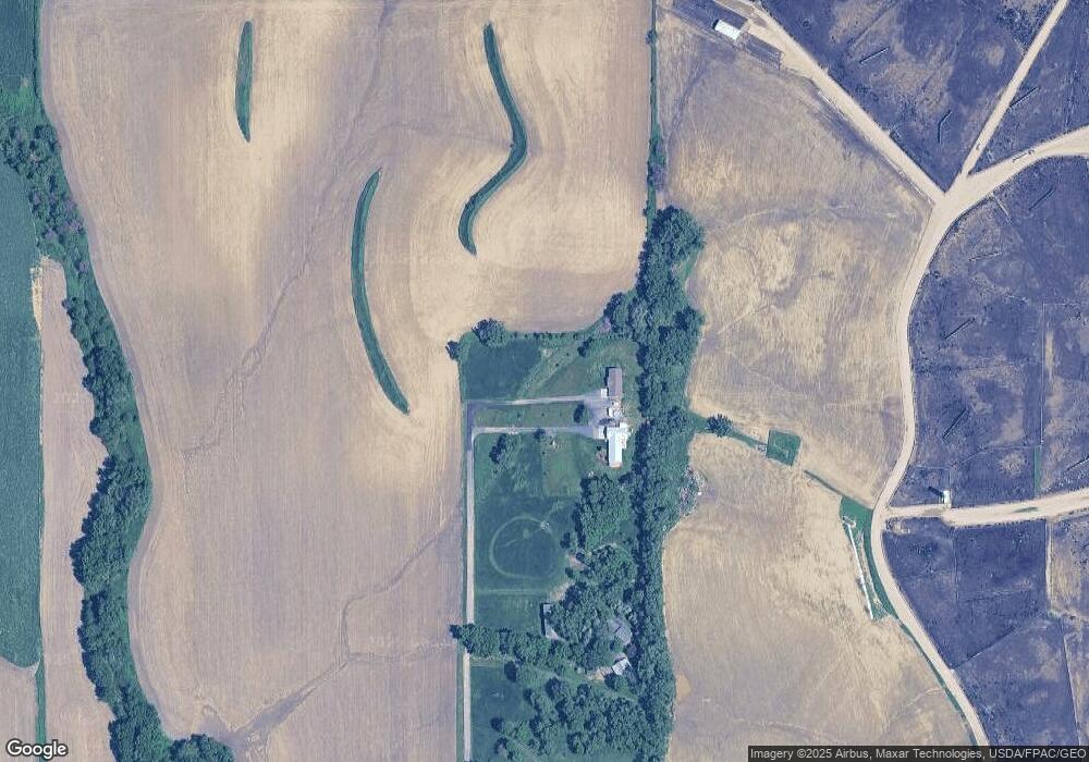
1715 180th St Sioux City, IA 51106
Estimated Value: $387,000 - $397,000
2
Beds
3
Baths
1,418
Sq Ft
$276/Sq Ft
Est. Value
About This Home
This home is located at 1715 180th St, Sioux City, IA 51106 and is currently estimated at $390,751, approximately $275 per square foot. 1715 180th St is a home with nearby schools including Sergeant Bluff-Luton Primary School, Sergeant Bluff-Luton Elementary School, and Sergeant Bluff-Luton Middle School.
Ownership History
Date
Name
Owned For
Owner Type
Purchase Details
Closed on
Jun 30, 2017
Sold by
Frank Jean R and Frank Dale E
Bought by
Frank Shane M
Current Estimated Value
Create a Home Valuation Report for This Property
The Home Valuation Report is an in-depth analysis detailing your home's value as well as a comparison with similar homes in the area
Home Values in the Area
Average Home Value in this Area
Purchase History
| Date | Buyer | Sale Price | Title Company |
|---|---|---|---|
| Frank Shane M | -- | None Available |
Source: Public Records
Tax History Compared to Growth
Tax History
| Year | Tax Paid | Tax Assessment Tax Assessment Total Assessment is a certain percentage of the fair market value that is determined by local assessors to be the total taxable value of land and additions on the property. | Land | Improvement |
|---|---|---|---|---|
| 2025 | $3,154 | $333,500 | $46,800 | $286,700 |
| 2024 | $3,154 | $319,670 | $30,750 | $288,920 |
| 2023 | $2,612 | $319,670 | $30,750 | $288,920 |
| 2022 | $2,588 | $225,790 | $30,750 | $195,040 |
| 2021 | $2,588 | $225,790 | $30,750 | $195,040 |
| 2020 | $2,214 | $187,220 | $32,900 | $154,320 |
| 2019 | $1,170 | $187,220 | $32,900 | $154,320 |
Source: Public Records
Map
Nearby Homes
- 1713 Old Highway 141
- TBD Old Highway 141
- 6810 Brookside Dr
- 3441 Glen Ellen Rd
- 6700 Windsong Ct
- 6701 Windsong Ct
- 2564 Nicklaus Blvd
- 6413 Mickelson St
- 17 Heritage Place
- 2600 Nicklaus Blvd
- 2640 Nicklaus Blvd
- 6290 Tiger Dr
- 1441 170th St
- 5225 Lynx Ct
- 5201 Lynx Ct
- 6104 Pine View Dr
- 6119 Morningside Ave
- 5510 Christy Rd
- 5811 Lorraine Ave
- 1903 Elk Creek Rd