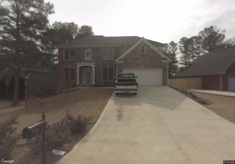
1715 Brandon Lee Way SW Unit 1 Marietta, GA 30008
Southwestern Marietta NeighborhoodEstimated Value: $388,000 - $454,000
4
Beds
4
Baths
2,903
Sq Ft
$141/Sq Ft
Est. Value
About This Home
This home is located at 1715 Brandon Lee Way SW Unit 1, Marietta, GA 30008 and is currently estimated at $408,649, approximately $140 per square foot. 1715 Brandon Lee Way SW Unit 1 is a home located in Cobb County with nearby schools including Dowell Elementary School, Smitha Middle School, and Osborne High School.
Ownership History
Date
Name
Owned For
Owner Type
Purchase Details
Closed on
May 20, 1997
Sold by
Yarberough Darrell F
Bought by
Miller Dorene C
Current Estimated Value
Purchase Details
Closed on
Jul 19, 1995
Sold by
Bennettbuilt Inc
Bought by
Yarberough Darrel F
Create a Home Valuation Report for This Property
The Home Valuation Report is an in-depth analysis detailing your home's value as well as a comparison with similar homes in the area
Home Values in the Area
Average Home Value in this Area
Purchase History
| Date | Buyer | Sale Price | Title Company |
|---|---|---|---|
| Miller Dorene C | $153,900 | -- | |
| Yarberough Darrel F | $153,000 | -- |
Source: Public Records
Mortgage History
| Date | Status | Borrower | Loan Amount |
|---|---|---|---|
| Closed | Yarberough Darrel F | $0 |
Source: Public Records
Tax History Compared to Growth
Tax History
| Year | Tax Paid | Tax Assessment Tax Assessment Total Assessment is a certain percentage of the fair market value that is determined by local assessors to be the total taxable value of land and additions on the property. | Land | Improvement |
|---|---|---|---|---|
| 2025 | $902 | $156,000 | $32,000 | $124,000 |
| 2024 | $1,015 | $192,652 | $32,000 | $160,652 |
| 2023 | $3,030 | $153,108 | $16,000 | $137,108 |
| 2022 | $2,755 | $114,456 | $9,600 | $104,856 |
| 2021 | $2,755 | $114,456 | $9,600 | $104,856 |
| 2020 | $2,772 | $115,236 | $9,600 | $105,636 |
| 2019 | $2,772 | $115,236 | $9,600 | $105,636 |
| 2018 | $2,504 | $102,980 | $9,600 | $93,380 |
| 2017 | $2,426 | $102,980 | $9,600 | $93,380 |
| 2016 | $2,058 | $86,072 | $9,600 | $76,472 |
| 2015 | $1,863 | $75,308 | $16,400 | $58,908 |
| 2014 | $1,877 | $75,308 | $0 | $0 |
Source: Public Records
Map
Nearby Homes
- 1697 Dyeson Rd SW
- 2389 Jack Creek Rd SW
- 1467 Glynn Oaks Cir SW
- 2268 Grove Valley Way Unit 9
- 2001 MacLand Square Dr Unit 11
- 2002 MacLand Square Dr Unit 1
- 2050 Heritage Green Dr
- 2379 Moseley Place SW
- 2121 Cumberland Creek Trail SW
- 1952 Freestone Way
- Monteluce Plan at Freestone Station
- Hillside Plan at Freestone Station
- Oakshire Plan at Freestone Station
- Hendricks Plan at Freestone Station
- Hedgerow Plan at Freestone Station
- Antioch Plan at Freestone Station
- 1697 Rustic Dr SW
- 1946 MacLand Rd SW
- 1713 Brandon Lee Way SW Unit 1
- 1717 Brandon Lee Way SW Unit 1
- 0 Brandon Lee Way Unit 8675410
- 0 Brandon Lee Way Unit 8391887
- 0 Brandon Lee Way
- 2162 Brandon Lee Dr SW
- 1719 Brandon Lee Way SW Unit 1
- 1711 Brandon Lee Way SW
- 1711 Brandon Lee Way SW Unit 25
- 2363 June Springs Dr SW
- 2361 June Springs Dr SW
- 1721 Brandon Lee Way SW Unit 1
- 1709 Brandon Lee Way SW
- 2365 June Springs Dr SW
- 2359 June Springs Dr SW
- 2160 Brandon Lee Dr SW
- 1708 Brandon Lee Way SW
- 2367 June Springs Dr SW Unit 12
- 2161 Brandon Lee Dr SW
- 2357 June Springs Dr SW