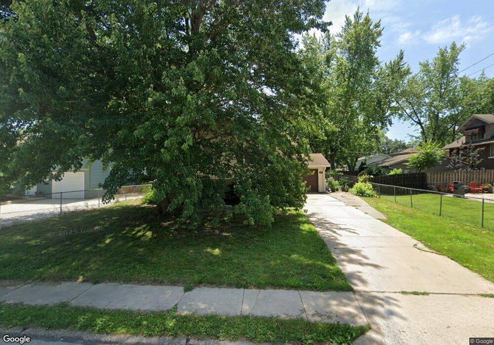
1715 Elm St Davenport, IA 52803
Near North Side NeighborhoodEstimated Value: $172,000 - $186,000
3
Beds
2
Baths
1,028
Sq Ft
$173/Sq Ft
Est. Value
About This Home
This home is located at 1715 Elm St, Davenport, IA 52803 and is currently estimated at $178,207, approximately $173 per square foot. 1715 Elm St is a home located in Scott County with nearby schools including Caverna Elementary School, Casey County Middle School, and Hopkinsville Middle School.
Ownership History
Date
Name
Owned For
Owner Type
Purchase Details
Closed on
Feb 26, 2010
Sold by
Olenowski Joseph M
Bought by
Conger Justin K and Moeller Megan I
Current Estimated Value
Home Financials for this Owner
Home Financials are based on the most recent Mortgage that was taken out on this home.
Original Mortgage
$120,268
Outstanding Balance
$79,915
Interest Rate
5.11%
Mortgage Type
FHA
Estimated Equity
$98,292
Create a Home Valuation Report for This Property
The Home Valuation Report is an in-depth analysis detailing your home's value as well as a comparison with similar homes in the area
Home Values in the Area
Average Home Value in this Area
Purchase History
| Date | Buyer | Sale Price | Title Company |
|---|---|---|---|
| Conger Justin K | $122,500 | None Available |
Source: Public Records
Mortgage History
| Date | Status | Borrower | Loan Amount |
|---|---|---|---|
| Open | Conger Justin K | $120,268 |
Source: Public Records
Tax History Compared to Growth
Tax History
| Year | Tax Paid | Tax Assessment Tax Assessment Total Assessment is a certain percentage of the fair market value that is determined by local assessors to be the total taxable value of land and additions on the property. | Land | Improvement |
|---|---|---|---|---|
| 2025 | $2,935 | $176,030 | $26,700 | $149,330 |
| 2024 | $2,703 | $156,010 | $26,700 | $129,310 |
| 2023 | $3,415 | $156,010 | $26,700 | $129,310 |
| 2022 | $3,110 | $140,190 | $24,030 | $116,160 |
| 2021 | $2,682 | $133,910 | $24,030 | $109,880 |
| 2020 | $2,904 | $123,460 | $24,030 | $99,430 |
| 2019 | $2,637 | $120,320 | $24,030 | $96,290 |
| 2018 | $2,450 | $120,320 | $24,030 | $96,290 |
| 2017 | $669 | $120,320 | $24,030 | $96,290 |
| 2016 | $2,284 | $112,990 | $0 | $0 |
| 2015 | $2,284 | $111,080 | $0 | $0 |
| 2014 | $2,274 | $111,080 | $0 | $0 |
| 2013 | $2,230 | $0 | $0 | $0 |
| 2012 | -- | $109,150 | $20,170 | $88,980 |
Source: Public Records
Map
Nearby Homes
- 2125 Eastern Ave
- 2030 Esplanade Ave
- 2103 E Lombard St
- 1626 Esplanade Ave
- 1616 Esplanade Ave
- 2316 E Pleasant St
- 1815 Belle Ave
- 1803 Belle Ave
- 1310 Kirkwood Blvd
- 1504 Christie St
- 1920 Carey Ave
- 1325 Mississippi Ave
- 1501 Bridge Ave
- 2316 East St
- 2440 Carey Ave
- 1233 Eastern Ave
- 1021 E Central Park Ave
- 1704 Jersey Ridge Rd
- 2429 E Central Park Ave
- 2438 Tremont Ave
- 1721 Elm St
- 2129 Eastern Ave
- 2125 Eastern Ave Unit 1
- 2128 Judson Ct
- 2136 Judson Ct
- 2123 Eastern Ave
- 2203 Eastern Ave
- 2120 Judson Ct
- 2118 Judson Ct
- 2207 Eastern Ave
- 2115 Eastern Ave
- 1714 Elm St
- 2131 Judson Ct
- 2133 Judson Ct
- 1716 Elm St
- 2112 Judson Ct
- 2213 Eastern Ave
- 2119 Judson Ct
- 1804 Elm St
- 1808 Elm St