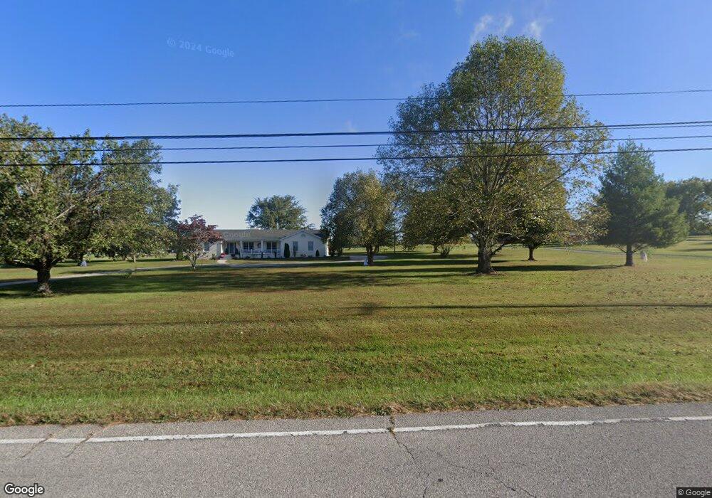
1715 Highway 130 E Shelbyville, TN 37160
Estimated Value: $333,000
--
Bed
3
Baths
2,493
Sq Ft
$134/Sq Ft
Est. Value
About This Home
This home is located at 1715 Highway 130 E, Shelbyville, TN 37160 and is currently estimated at $333,000, approximately $133 per square foot. 1715 Highway 130 E is a home located in Bedford County with nearby schools including Liberty Elementary School.
Ownership History
Date
Name
Owned For
Owner Type
Purchase Details
Closed on
Sep 23, 2022
Sold by
Daniel Parsons Timothy
Bought by
Stinnett Edward E and Stinnett Katherine M
Current Estimated Value
Purchase Details
Closed on
Jul 8, 2022
Sold by
Parsons Galbreth Pamela
Bought by
Parsons Timothy Daniel
Purchase Details
Closed on
Jul 20, 2006
Sold by
Parson Fayne H
Bought by
Parsons Fayne H
Purchase Details
Closed on
May 19, 2005
Sold by
Parsons Fayne H
Bought by
Parsons Fayne H
Purchase Details
Closed on
Feb 12, 1958
Bought by
Parsons Fayne Holt and Parsons Gail D
Create a Home Valuation Report for This Property
The Home Valuation Report is an in-depth analysis detailing your home's value as well as a comparison with similar homes in the area
Home Values in the Area
Average Home Value in this Area
Purchase History
| Date | Buyer | Sale Price | Title Company |
|---|---|---|---|
| Stinnett Edward E | $430,000 | -- | |
| Parsons Timothy Daniel | -- | None Listed On Document | |
| Parsons Fayne H | -- | None Listed On Document | |
| Galbreth Pamela Parsons | -- | None Listed On Document | |
| Parsons Fayne H | -- | -- | |
| Parsons Fayne H | $57,000 | -- | |
| Parsons Fayne Holt | -- | -- |
Source: Public Records
Tax History Compared to Growth
Tax History
| Year | Tax Paid | Tax Assessment Tax Assessment Total Assessment is a certain percentage of the fair market value that is determined by local assessors to be the total taxable value of land and additions on the property. | Land | Improvement |
|---|---|---|---|---|
| 2025 | $373 | $319,975 | $0 | $0 |
| 2024 | $373 | $16,025 | $16,025 | $0 |
| 2023 | $373 | $16,025 | $16,025 | $0 |
| 2022 | $2,542 | $109,325 | $43,025 | $66,300 |
| 2021 | $2,148 | $109,325 | $43,025 | $66,300 |
| 2020 | $2,362 | $109,325 | $43,025 | $66,300 |
| 2019 | $2,362 | $88,800 | $36,950 | $51,850 |
| 2018 | $2,273 | $88,800 | $36,950 | $51,850 |
| 2017 | $2,273 | $88,800 | $36,950 | $51,850 |
| 2016 | $2,238 | $88,800 | $0 | $0 |
| 2015 | $2,238 | $88,800 | $0 | $0 |
| 2014 | $1,634 | $72,004 | $0 | $0 |
Source: Public Records
Map
Nearby Homes
- 0 Highway 130 E
- 0 Himesville Rd
- 1519 Highway 130 E
- 339 Riverbend Country Club Rd
- 1413 Highway 130 E
- 201 Sulphur Springs Rd
- 231 Riverbend Country Club Rd
- 1725 Wartrace Pike
- 128 Riverlake Rd
- 148 Maupin Cir
- 209 Gladys Dr
- 1024 Tennessee 64
- 455 Himesville Rd
- 495 Himesville Rd
- 1404 Cypress St
- 215 Coney Island Rd
- 204 S Hillcrest Dr
- 102 Germantown Rd
- 104 Townsend Ave
- 711 S Wall St
- 609 Meadowlark Dr
- 611 Meadowlark Dr
- 1705 Highway 130 E
- 1635 Highway 130 E
- 1721 Highway 130 E
- 607 Meadowlark Dr
- 613 Meadowlark Dr
- 605 Meadowlark Dr
- 1619 Highway 130 E
- 603 Meadowlark Dr
- 608 Meadowlark Dr
- 1725 Highway 130 E
- 617 Meadowlark Dr
- 1615 Highway 130 E
- 601 Meadowlark Dr
- 100 Towhee Trail
- 101 Oriole Cir
- 519 Meadowlark Dr
- 1609 Highway 130 E
- 625 Meadowlark Dr