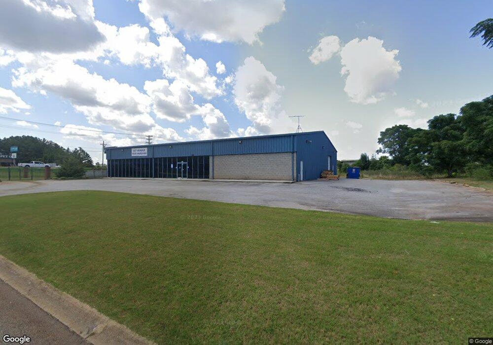
1715 Pearman Dairy Rd Anderson, SC 29625
Estimated Value: $1,061,405
--
Bed
--
Bath
8,790
Sq Ft
$121/Sq Ft
Est. Value
About This Home
This home is located at 1715 Pearman Dairy Rd, Anderson, SC 29625 and is currently estimated at $1,061,405, approximately $120 per square foot. 1715 Pearman Dairy Rd is a home located in Anderson County with nearby schools including Whitehall Elementary School, Westside High School, and Anderson Institute of Technology.
Ownership History
Date
Name
Owned For
Owner Type
Purchase Details
Closed on
Jul 30, 2020
Sold by
Harper Holdings Llc
Bought by
Carlton Holdings Llc
Current Estimated Value
Home Financials for this Owner
Home Financials are based on the most recent Mortgage that was taken out on this home.
Original Mortgage
$595,000
Interest Rate
3.1%
Mortgage Type
Future Advance Clause Open End Mortgage
Create a Home Valuation Report for This Property
The Home Valuation Report is an in-depth analysis detailing your home's value as well as a comparison with similar homes in the area
Home Values in the Area
Average Home Value in this Area
Purchase History
| Date | Buyer | Sale Price | Title Company |
|---|---|---|---|
| Carlton Holdings Llc | $700,000 | None Available |
Source: Public Records
Mortgage History
| Date | Status | Borrower | Loan Amount |
|---|---|---|---|
| Closed | Carlton Holdings Llc | $595,000 |
Source: Public Records
Tax History Compared to Growth
Tax History
| Year | Tax Paid | Tax Assessment Tax Assessment Total Assessment is a certain percentage of the fair market value that is determined by local assessors to be the total taxable value of land and additions on the property. | Land | Improvement |
|---|---|---|---|---|
| 2024 | $14,078 | $46,260 | $11,160 | $35,100 |
| 2023 | $14,078 | $46,260 | $11,160 | $35,100 |
| 2022 | $13,722 | $46,260 | $11,160 | $35,100 |
| 2021 | $13,661 | $42,000 | $13,500 | $28,500 |
| 2020 | $10,141 | $31,640 | $10,740 | $20,900 |
| 2019 | $10,141 | $31,640 | $10,740 | $20,900 |
| 2018 | $10,001 | $31,640 | $10,740 | $20,900 |
| 2017 | -- | $31,640 | $10,740 | $20,900 |
| 2016 | $9,195 | $29,680 | $9,770 | $19,910 |
| 2015 | $9,290 | $29,680 | $9,770 | $19,910 |
| 2014 | $9,153 | $29,680 | $9,770 | $19,910 |
Source: Public Records
Map
Nearby Homes
- 401 Phil Watson Rd
- 505 Brookgreen Ct
- 408 Greenbriar Ln
- 211 Phil Watson Rd
- 216 Maplewood Rd
- 8 Rivanna Dr
- 309 Hembree Rd
- 185 Norfolk Cir
- 3406 Dixon Rd
- 4214 Hembree Creek Rd
- 4115 Liberty Hwy
- 105-107 Independence Path
- 2904 Birch St
- 301 Woodlake Rd
- 212 Middleton Shores Dr
- 103 Northlake Dr
- 203 Northlake Dr Unit 2C
- 00 Martin Luther King jr Blvd
- 1106 Northlake Dr Unit 11F
- 1011 Northlake Dr Unit 10K
- 25 Sweetgrass Trail Unit 15
- 0 Doubletree Dr Unit Of Tax Map 094-00-0
- 3.29ac Doubletree Dr
- 0 Doubletree Dr
- 23 Sweetgrass Trail Unit Tripps Landing ll
- 23 Sweetgrass Trail Unit 14
- 23 Sweetgrass Trail Unit Anderson
- 26 Sweetgrass Trail Unit 13
- 24 Sweetgrass Trail Unit 12
- 1711 Pearman Dairy Rd
- 22 Sweetgrass Trail Unit 11
- 1716 Pearman Dairy Rd Unit A
- 1716 Pearman Dairy Rd Unit H
- 1716 Pearman Dairy Rd Unit F
- 1716 Pearman Dairy Rd Unit D/E
- 1716 Pearman Dairy Rd
- 20 Sweetgrass Trail
- 20 Sweetgrass Trail Unit LOT 10 TRIPP'S LAND
- 18 Sweetgrass Trail Unit 9
- 11 Sweetgrass Trail Unit 16