1715 Snyderville Rd Springfield, OH 45502
Estimated Value: $184,000 - $253,000
3
Beds
1
Bath
1,082
Sq Ft
$194/Sq Ft
Est. Value
About This Home
This home is located at 1715 Snyderville Rd, Springfield, OH 45502 and is currently estimated at $210,438, approximately $194 per square foot. 1715 Snyderville Rd is a home located in Clark County with nearby schools including Greenon Elementary School, Greenon Jr. High School, and Greenon High School.
Ownership History
Date
Name
Owned For
Owner Type
Purchase Details
Closed on
Feb 24, 2004
Sold by
Finnell Steven R and Finnell Michelle D
Bought by
Bailey William C and Bailey Tonya M
Current Estimated Value
Home Financials for this Owner
Home Financials are based on the most recent Mortgage that was taken out on this home.
Original Mortgage
$80,750
Outstanding Balance
$36,680
Interest Rate
5.71%
Mortgage Type
Purchase Money Mortgage
Estimated Equity
$173,758
Purchase Details
Closed on
Sep 29, 2000
Sold by
First Bank National Assn
Bought by
Finnell Steven R
Home Financials for this Owner
Home Financials are based on the most recent Mortgage that was taken out on this home.
Original Mortgage
$47,500
Interest Rate
8.03%
Purchase Details
Closed on
May 22, 2000
Sold by
Reed Jo Anne
Bought by
First Bank National Assn
Create a Home Valuation Report for This Property
The Home Valuation Report is an in-depth analysis detailing your home's value as well as a comparison with similar homes in the area
Purchase History
| Date | Buyer | Sale Price | Title Company |
|---|---|---|---|
| Bailey William C | $85,000 | -- | |
| Finnell Steven R | $50,000 | -- | |
| First Bank National Assn | $38,000 | -- |
Source: Public Records
Mortgage History
| Date | Status | Borrower | Loan Amount |
|---|---|---|---|
| Open | Bailey William C | $80,750 | |
| Previous Owner | Finnell Steven R | $47,500 |
Source: Public Records
Tax History
| Year | Tax Paid | Tax Assessment Tax Assessment Total Assessment is a certain percentage of the fair market value that is determined by local assessors to be the total taxable value of land and additions on the property. | Land | Improvement |
|---|---|---|---|---|
| 2025 | $2,442 | $53,030 | $15,440 | $37,590 |
| 2024 | $2,386 | $44,650 | $13,920 | $30,730 |
| 2023 | $2,386 | $44,650 | $13,920 | $30,730 |
| 2022 | $2,383 | $44,650 | $13,920 | $30,730 |
| 2021 | $1,978 | $32,860 | $10,090 | $22,770 |
| 2020 | $1,983 | $32,860 | $10,090 | $22,770 |
| 2019 | $2,010 | $32,860 | $10,090 | $22,770 |
| 2018 | $1,901 | $30,370 | $9,250 | $21,120 |
| 2017 | $1,905 | $30,370 | $9,251 | $21,119 |
| 2016 | $1,666 | $30,370 | $9,251 | $21,119 |
| 2015 | $1,565 | $27,507 | $8,411 | $19,096 |
| 2014 | $1,568 | $27,507 | $8,411 | $19,096 |
| 2013 | $1,384 | $27,507 | $8,411 | $19,096 |
Source: Public Records
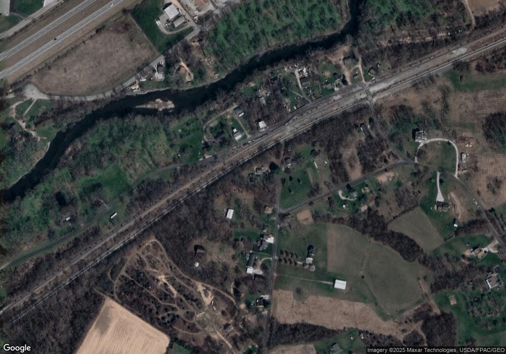
Map
Nearby Homes
- 3183 Lower Valley Pike
- 206 S Tecumseh Rd
- 2925 S Tecumseh Rd
- 100 Green Valley Dr
- 303 E Main St
- 128 Ravenwood Dr
- 141 N Xenia Dr
- 169 E Main St
- 4909 Shannon Ave
- 3434 Killdeer Dr
- 22 W Main St
- 3924 Schenley St
- 3190 Rebert Pike
- 4461 New Carlisle Pike
- 1513 Ridgeway Dr
- 3319 Wendover St
- 4024 Raymond Dr
- 4200 Phillips St
- 3267 Lower Valley Pike Unit Tract 2
- 1290 Red Oaks Cir
- 1700 Snyderville Rd
- 1791 Snyderville Rd
- 5542 Wynn Rd
- 5552 Wynn Rd
- 5522 Wynn Rd
- 1833 Snyderville Rd
- 5520 Mad River Rd
- 5510 Mad River Rd
- 1837 Snyderville Rd
- 1794 Snyderville Rd
- 5411 Harshman Rd
- 5502 Wynn Rd
- 5466 Wynn Rd
- 1661 S Tecumseh Rd
- 0 Snyderville Rd Unit 564537
- 1867 Snyderville Rd
- 5541 Lower Valley Pike
- 5543 Lower Valley Pike
- 5420 Wynn Rd
- 5545 Lower Valley Pike
Your Personal Tour Guide
Ask me questions while you tour the home.