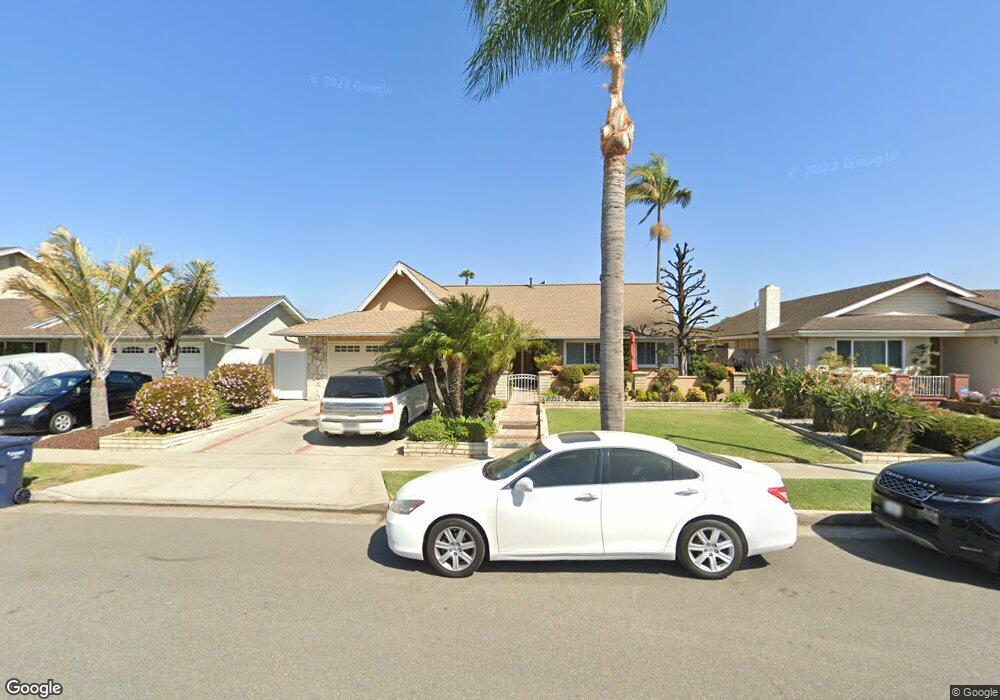
17152 Saint Andrews Ln Huntington Beach, CA 92649
Estimated Value: $1,053,000 - $1,478,000
4
Beds
2
Baths
1,437
Sq Ft
$906/Sq Ft
Est. Value
About This Home
This home is located at 17152 Saint Andrews Ln, Huntington Beach, CA 92649 and is currently estimated at $1,302,033, approximately $906 per square foot. 17152 Saint Andrews Ln is a home located in Orange County with nearby schools including Harbour View Elementary School, Marine View Middle, and Huntington Beach High School.
Ownership History
Date
Name
Owned For
Owner Type
Purchase Details
Closed on
Sep 22, 2022
Sold by
Department Of Veterans Affairs Of The St
Bought by
Ayala Revocable Trust
Current Estimated Value
Purchase Details
Closed on
Jul 30, 1999
Sold by
John Ayala and John Teresa M
Bought by
Ayala John E and Ayala Teresa M
Purchase Details
Closed on
Aug 7, 1996
Sold by
Hansen Robert P and Hansen Marilyn J
Bought by
Va
Create a Home Valuation Report for This Property
The Home Valuation Report is an in-depth analysis detailing your home's value as well as a comparison with similar homes in the area
Home Values in the Area
Average Home Value in this Area
Purchase History
| Date | Buyer | Sale Price | Title Company |
|---|---|---|---|
| Ayala Revocable Trust | -- | -- | |
| Ayala John E | -- | -- | |
| Va | $236,000 | Fidelity National Title Ins |
Source: Public Records
Tax History Compared to Growth
Tax History
| Year | Tax Paid | Tax Assessment Tax Assessment Total Assessment is a certain percentage of the fair market value that is determined by local assessors to be the total taxable value of land and additions on the property. | Land | Improvement |
|---|---|---|---|---|
| 2025 | $4,502 | $389,969 | $276,195 | $113,774 |
| 2024 | $4,502 | $382,323 | $270,779 | $111,544 |
| 2023 | $4,397 | $374,827 | $265,470 | $109,357 |
| 2022 | $4,329 | $367,478 | $260,265 | $107,213 |
| 2021 | $4,250 | $360,273 | $255,162 | $105,111 |
| 2020 | $4,202 | $356,579 | $252,545 | $104,034 |
| 2019 | $4,074 | $344,559 | $247,593 | $96,966 |
| 2018 | $3,983 | $337,803 | $242,738 | $95,065 |
| 2017 | $3,919 | $331,180 | $237,979 | $93,201 |
| 2016 | $3,761 | $324,687 | $233,313 | $91,374 |
| 2015 | $3,703 | $319,810 | $229,808 | $90,002 |
| 2014 | $3,629 | $313,546 | $225,307 | $88,239 |
Source: Public Records
Map
Nearby Homes
- 17352 Eucalyptus Ln
- 17042 Twain Ln
- 5262 Glenroy Dr
- 5241 Glenroy Dr
- 17202 Corbina Ln Unit 108
- 17191 Corbina Ln Unit 110
- 17372 Forbes Ln
- 17532 Montbury Cir
- 16832 Roosevelt Ln
- 6051 Summerdale Dr
- 17071 Pinehurst Ln
- 5812 Raphael Dr
- 17322 Wareham Ln
- 5200 Heil Ave Unit 18
- 5200 Heil Ave Unit 8
- 4822 Tiara Dr Unit 104
- 17291 Wareham Ln
- 5862 Raphael Dr
- 17272 Tidalridge Ln
- 5591 Heil Ave
- 17142 Saint Andrews Ln
- 17172 Saint Andrews Ln
- 17132 Saint Andrews Ln
- 17182 Saint Andrews Ln
- 17151 Saint Andrews Ln
- 17141 Saint Andrews Ln
- 17161 Berlin Ln
- 17122 Saint Andrews Ln
- 17171 Berlin Ln
- 5432 Glenroy Dr
- 17361 Burrows Ln
- 5182 Goldenrod Cir
- 5442 Goldenrod Cir
- 5441 Goldenrod Cir
- 5472 Goldenrod Cir
- 5421 Goldenrod Cir
- 5422 Goldenrod Cir
- 5402 Goldenrod Cir
- 17312 Eucalyptus Ln
- 5162 Goldenrod Cir